Archive | 2026 RSS feed for this section

Fiji!

14 Mar

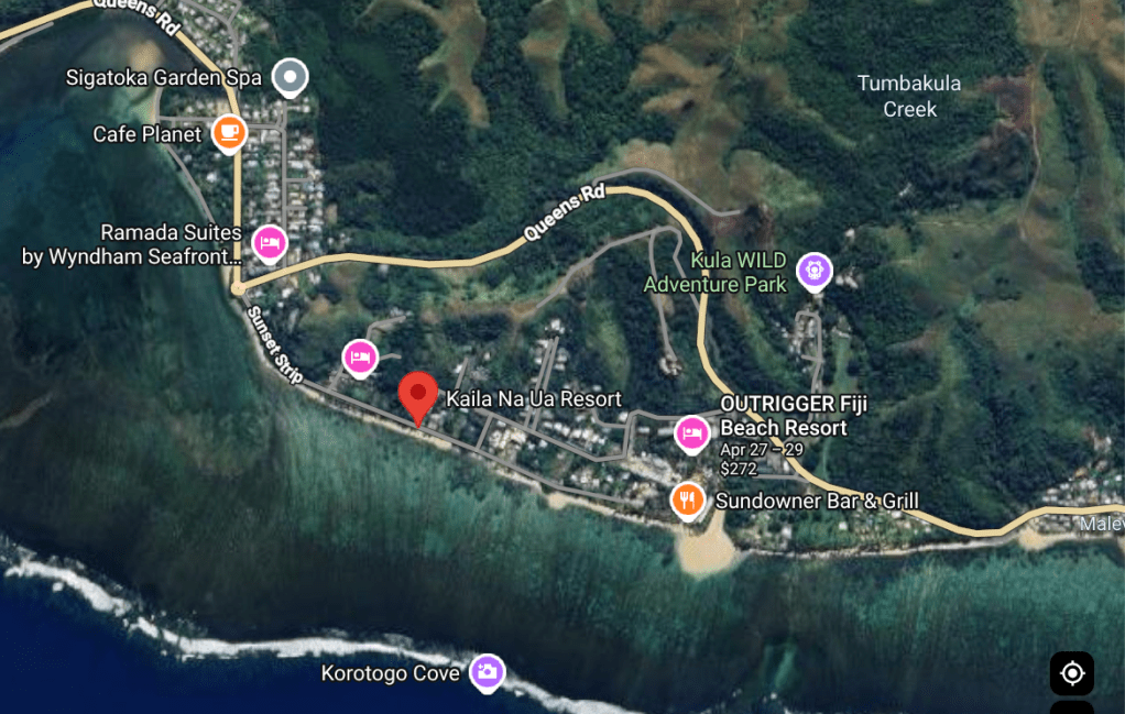
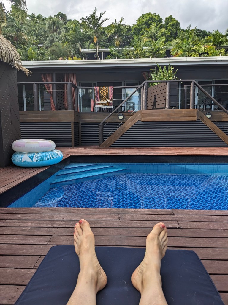
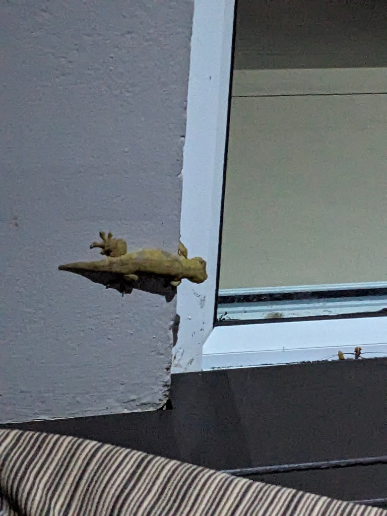
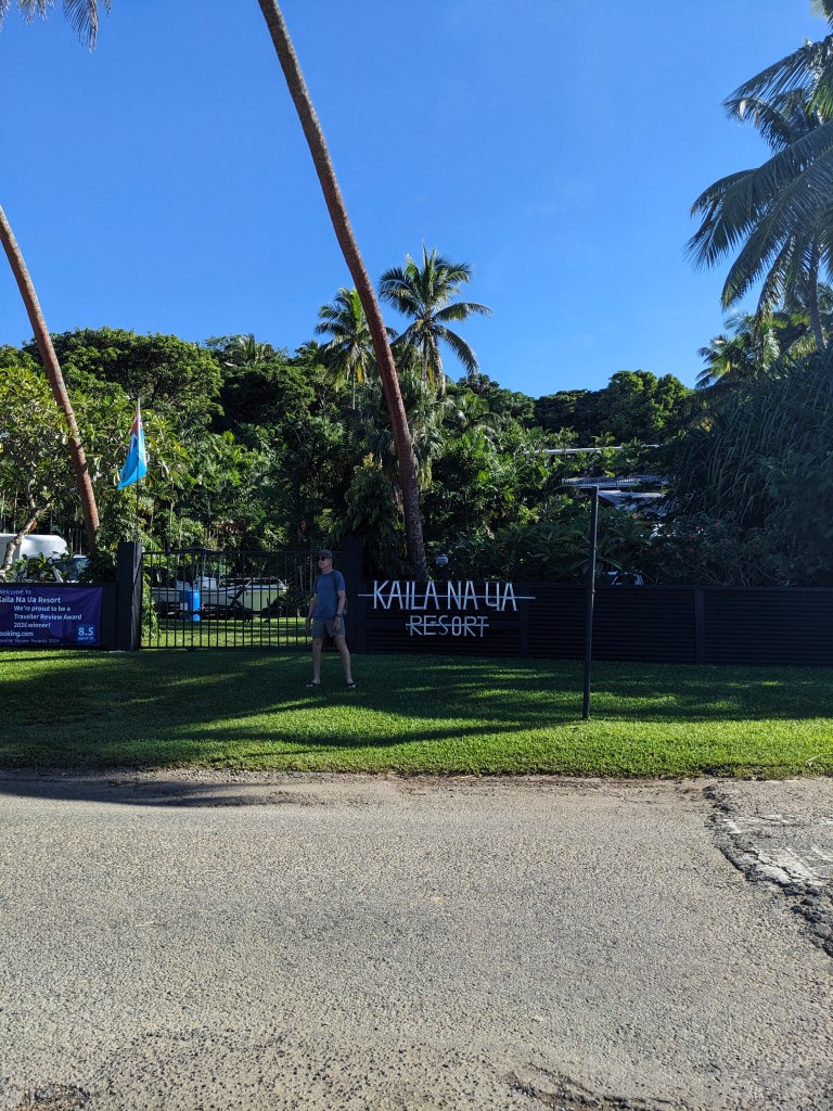
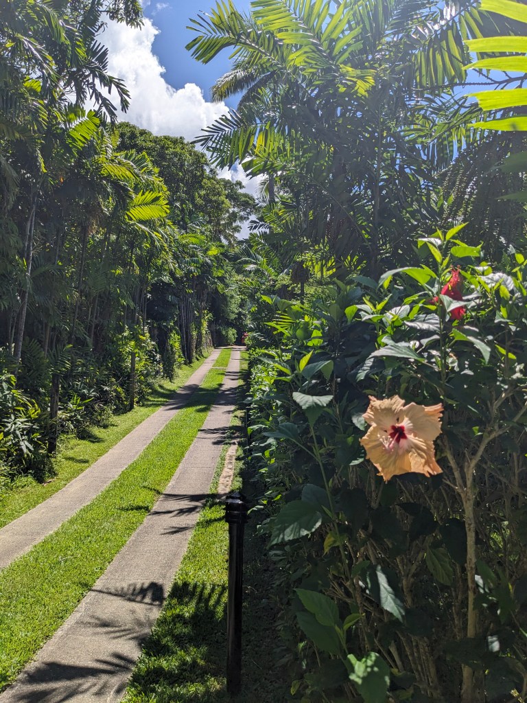
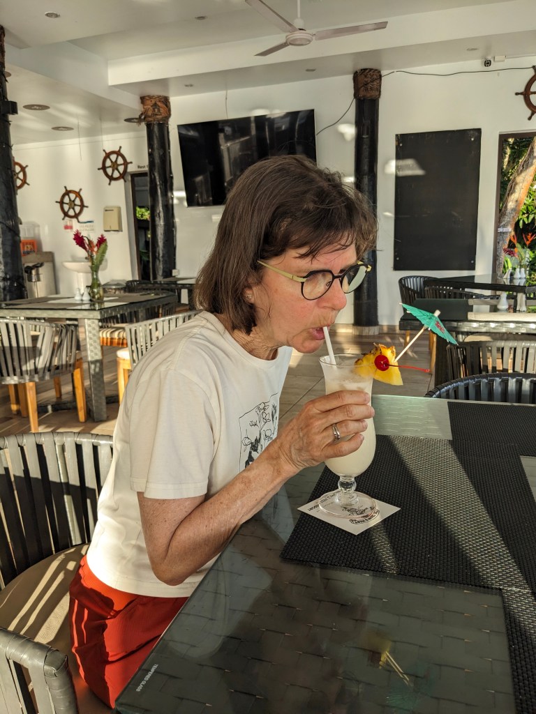
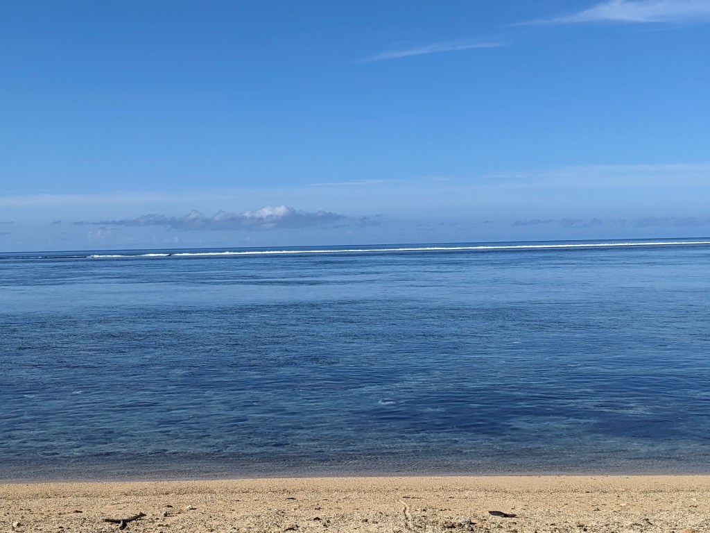
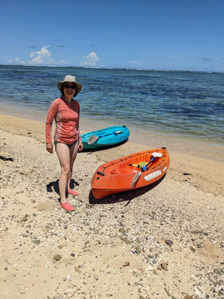
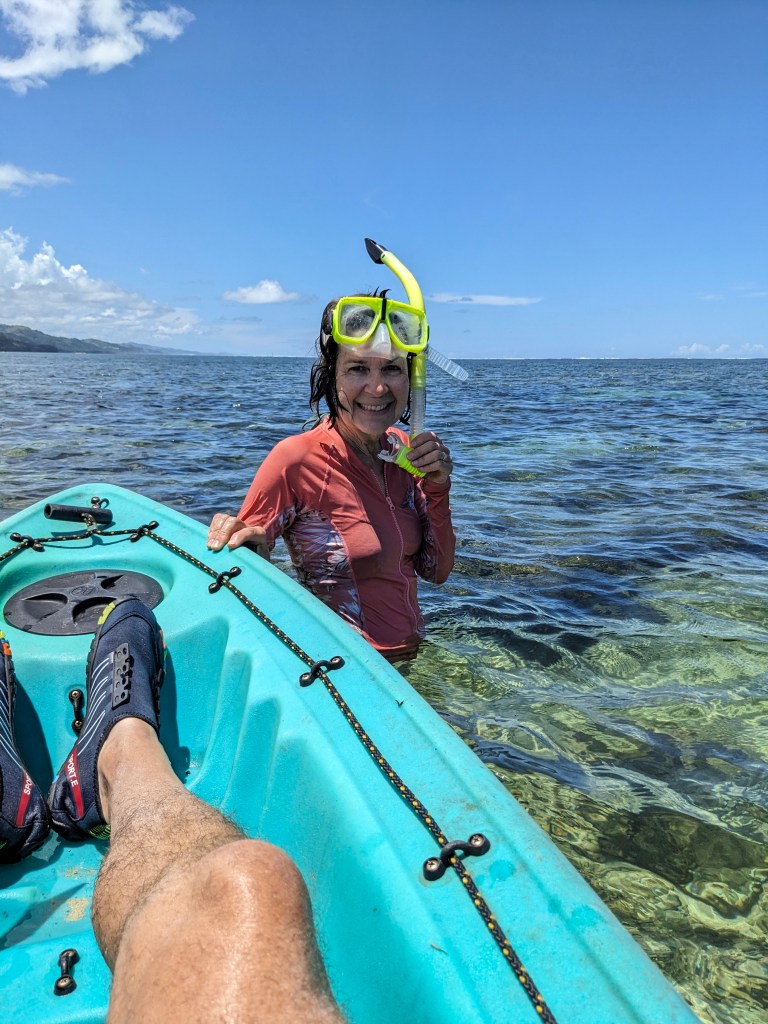
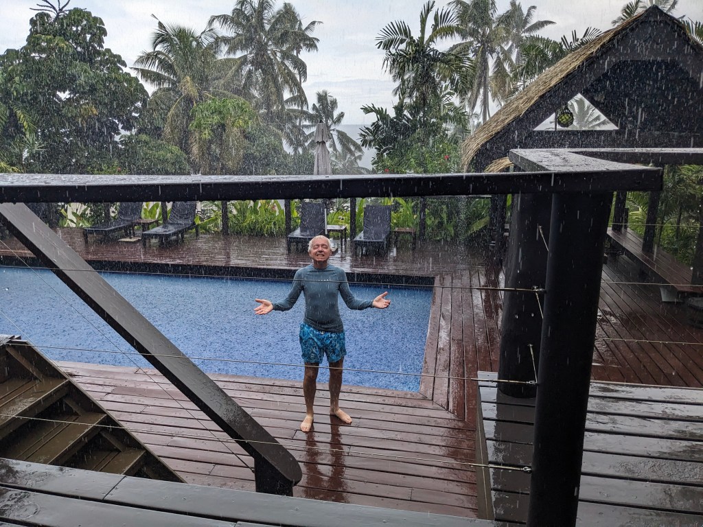
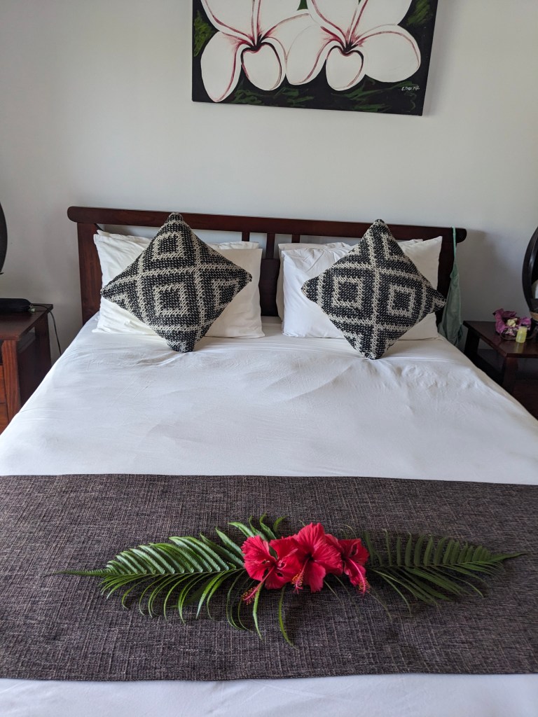
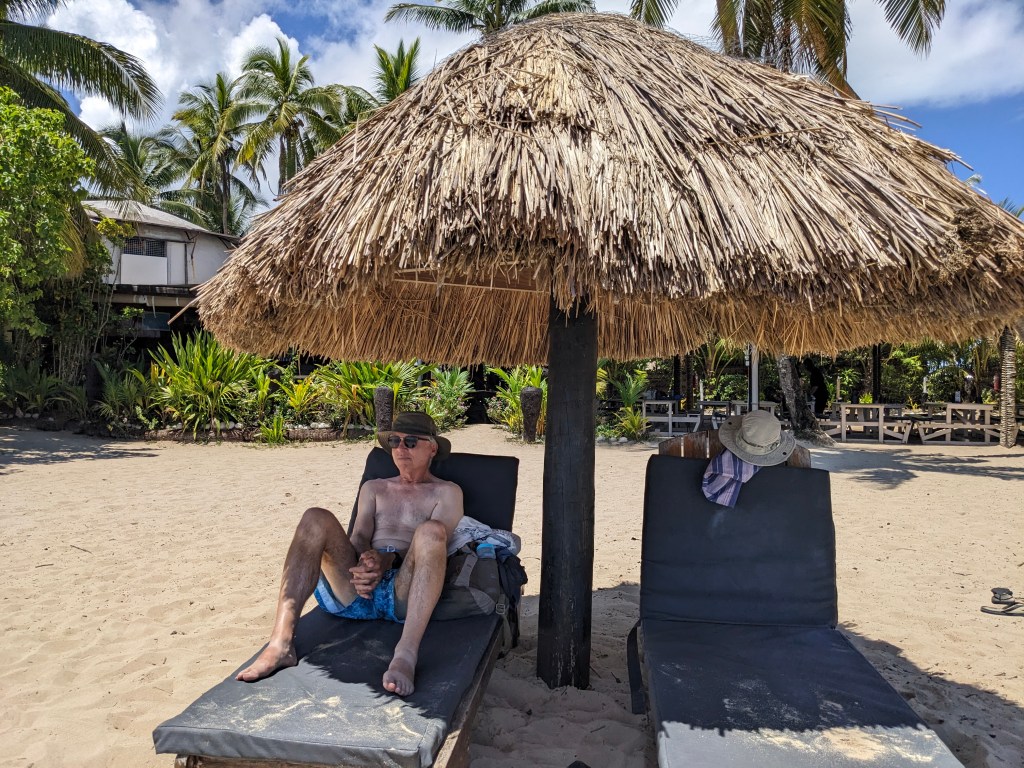
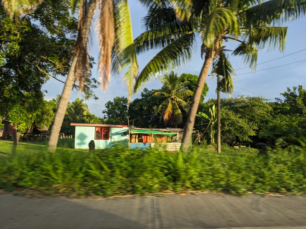
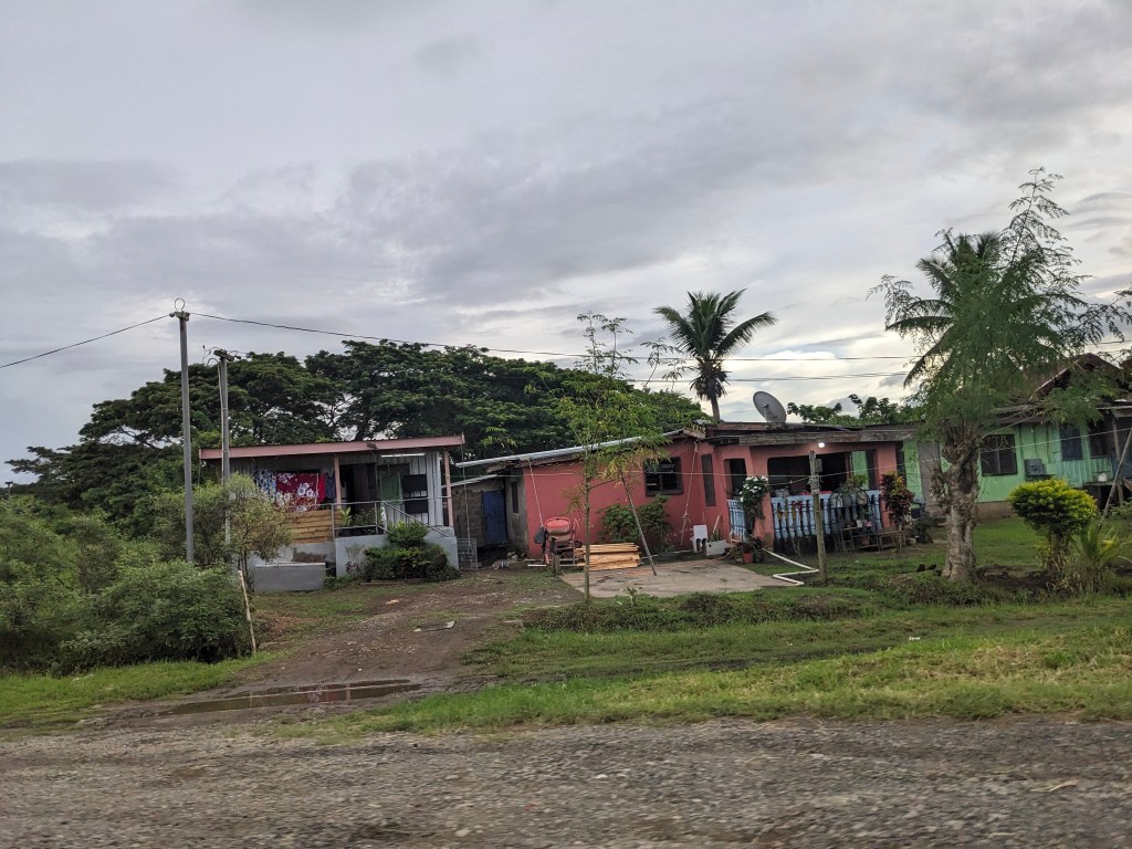
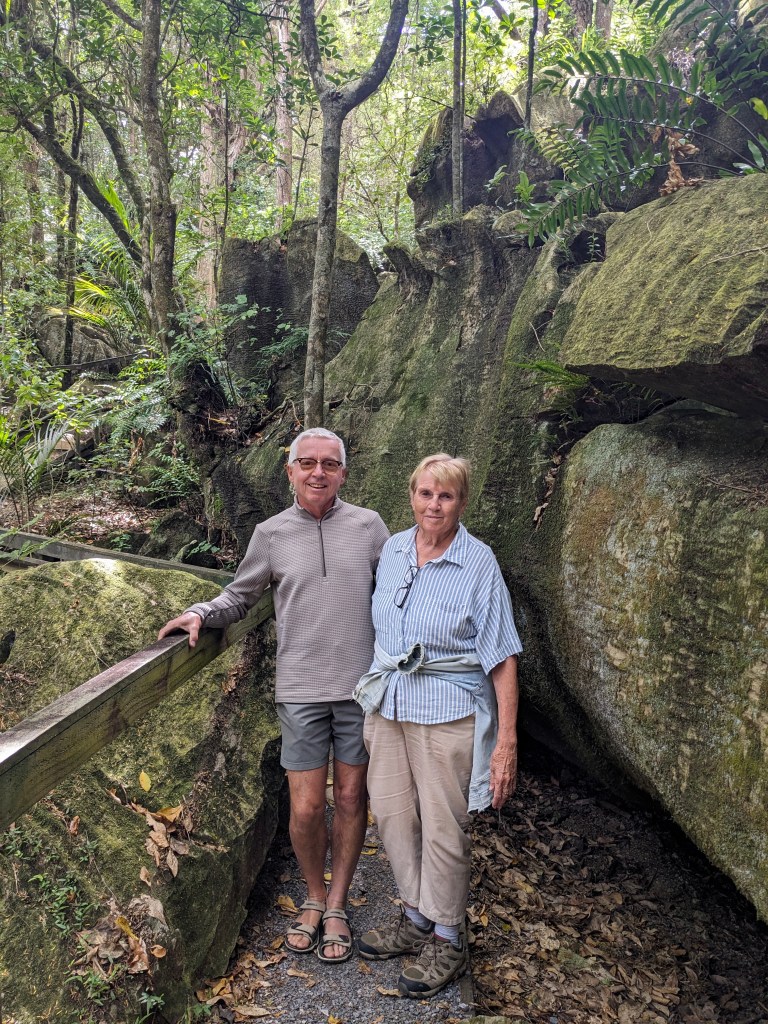
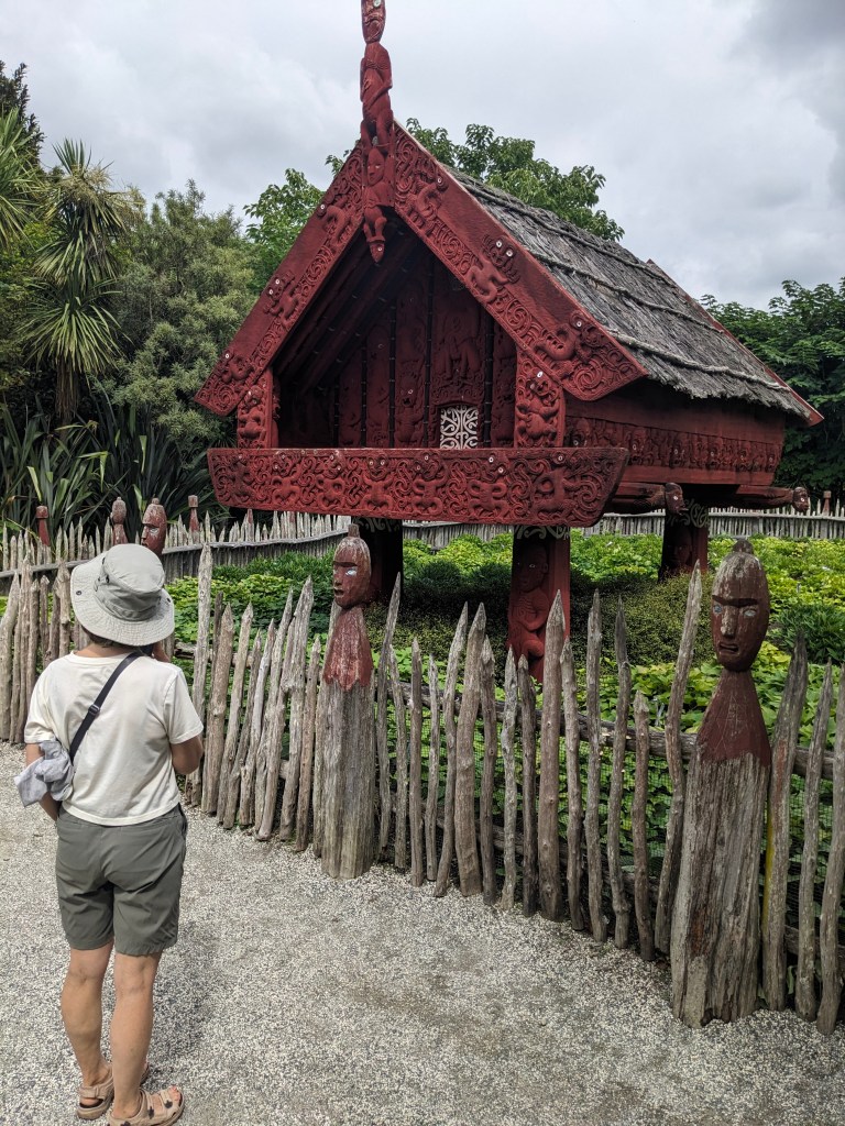
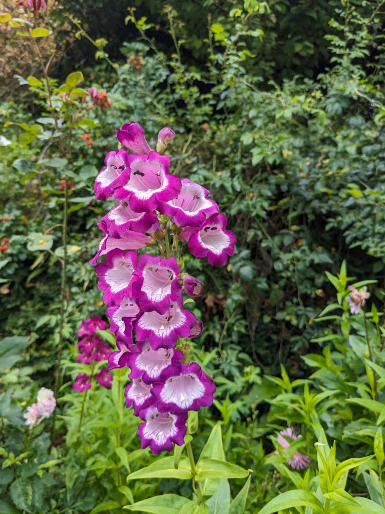
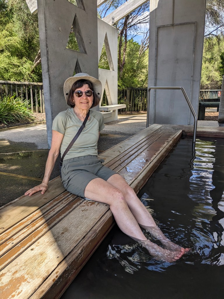
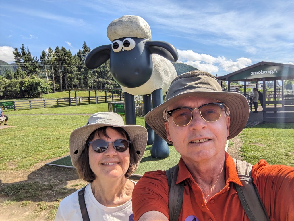
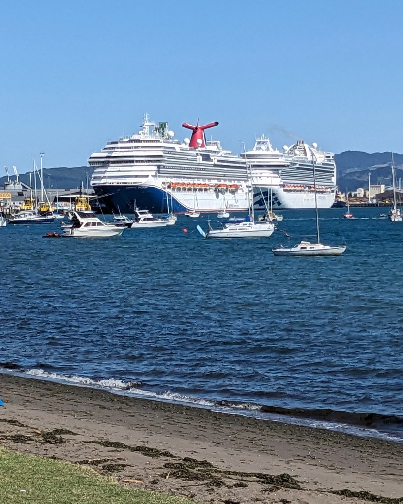
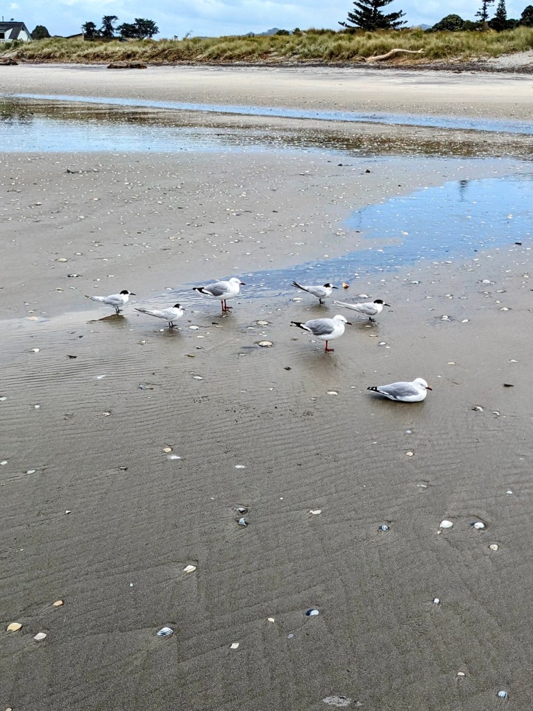
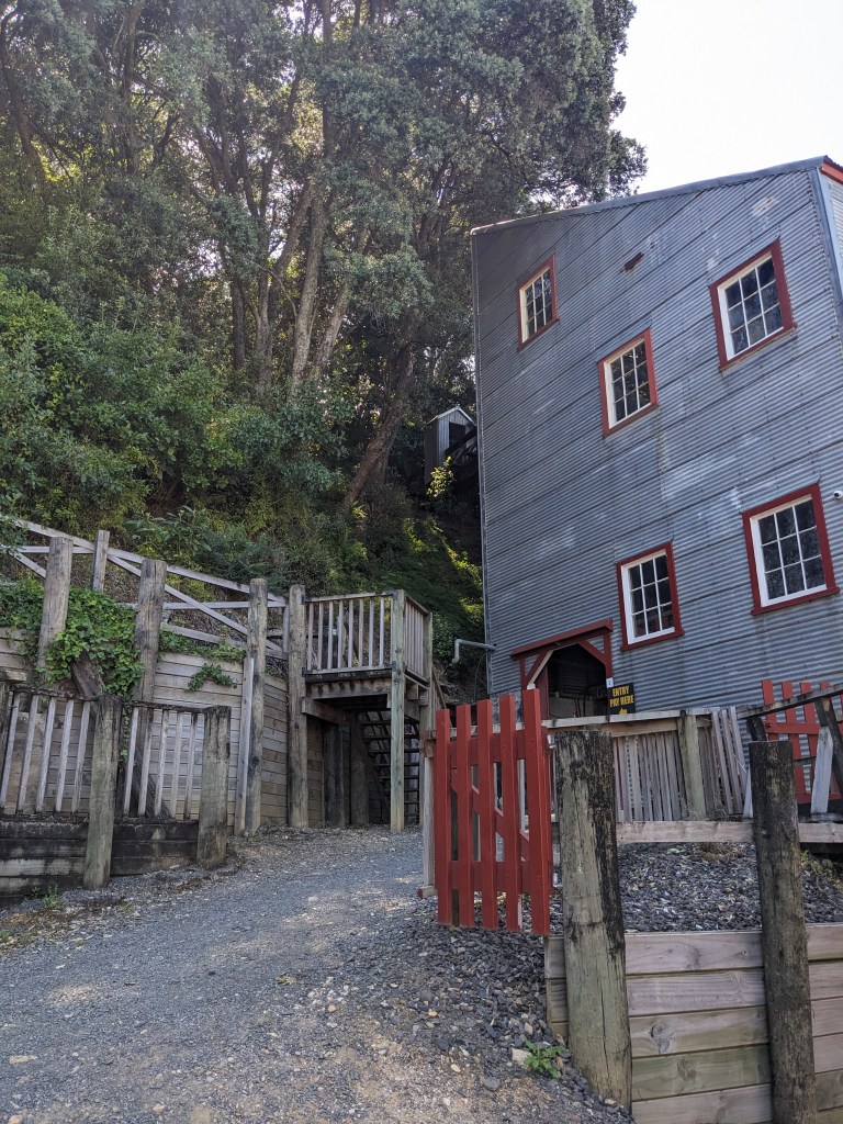
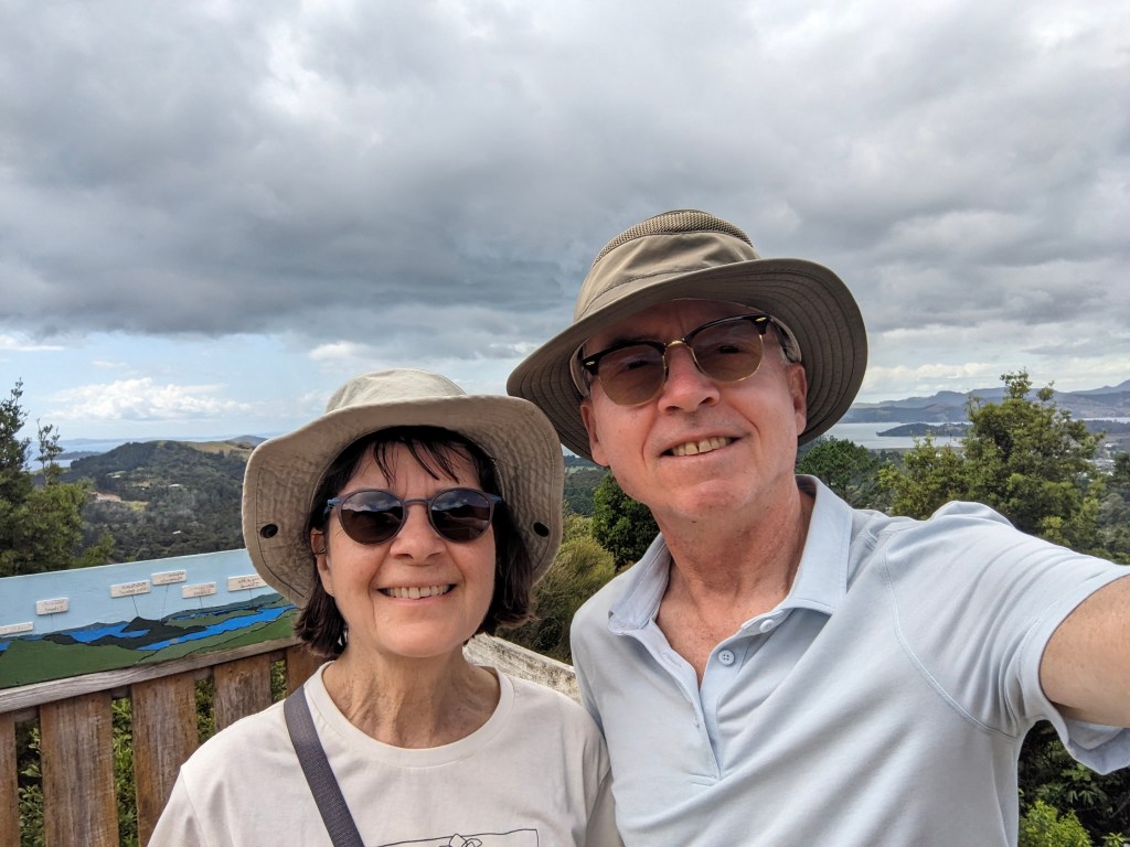
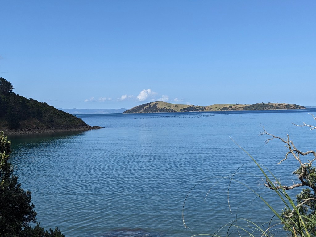
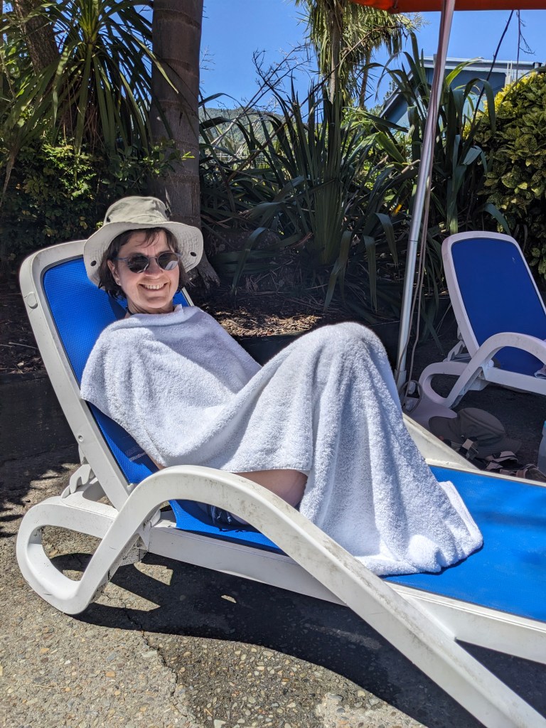
Okay, another place I haven’t been to in 45 years, and a first time for Tara. I know I stayed somewhere close to where we are now which is Korotogo on the Coral Coast near to Sigatoka, but I couldn’t tell you exactly. Some things have definitely changed in the time since like cell phones with pretty good coverage which everybody seems to have, the local buses which have no windows and are a bit rough (same) now accept a tap-to-pay card for the fare, although it was apparently just recently introduced to stop drivers taking home too much of the cash fares for themselves. The small towns we passed through on the hour long taxi ride from Nadi to our small ’boutique’ resort looked a lot like some places in Africa to Tara, and have not changed to my observation over time. The weather is the same, 30C and 90% humidity pretty much day and night, with blazing sun straight overhead punctuated with massive afternoon showers, and then more sunshine. We have a 300m wide lagoon with crystal clear water and coral reef right in front of us with waves crashing onto the reef edge beyond that. At low tide you would have no trouble stepping around the rocks and coral to walk out to the reef’s edge, while at high tide we skitter out in kayaks a meter above the rocks and see what fish we can see by jumping off with a mask and snorkel into the bathtub temperature water. Yea, it’s a bit of paradise in the south pacific.

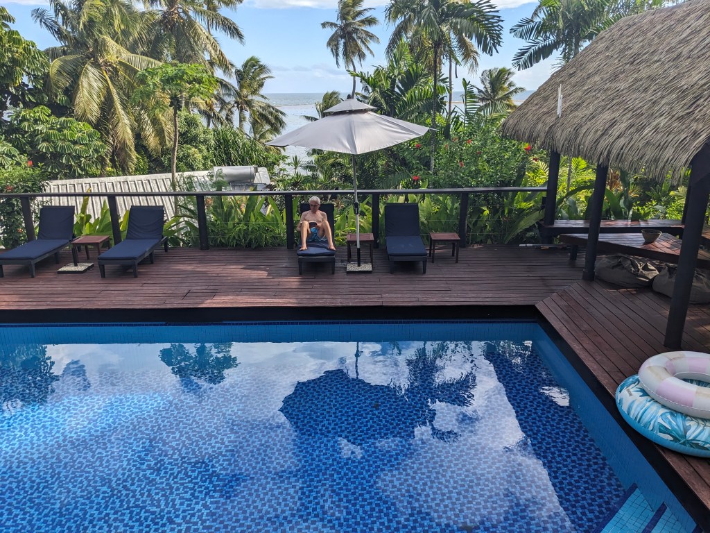
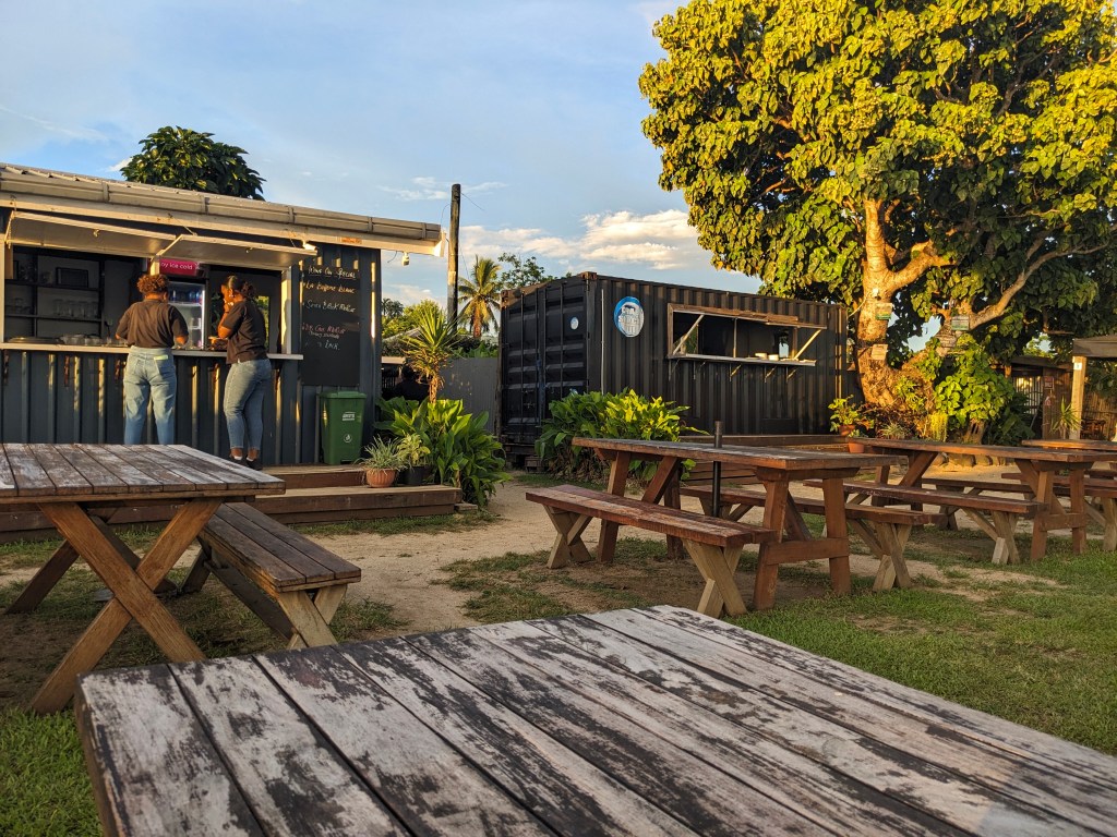
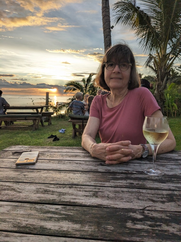
Along this small road are a few small resorts and one bigger one. Most appear to be low on guests as it is the low season for Aussie and Kiwi folks in their late summer. Yet we have a nice variety of open restaurants within walking distance along this quiet road they call sunset strip (because you can see the …). As you walk along, every single Fijian you meet says ‘Bula’ in friendly greeting, and you say Bula back. At dusk the megabats(!) start flying around, pacific flying foxes, which are large, hawk sized, and swoop from high up to roost in the trees close by. Remarkable and kind of freaky looking considering our bats are tiny.

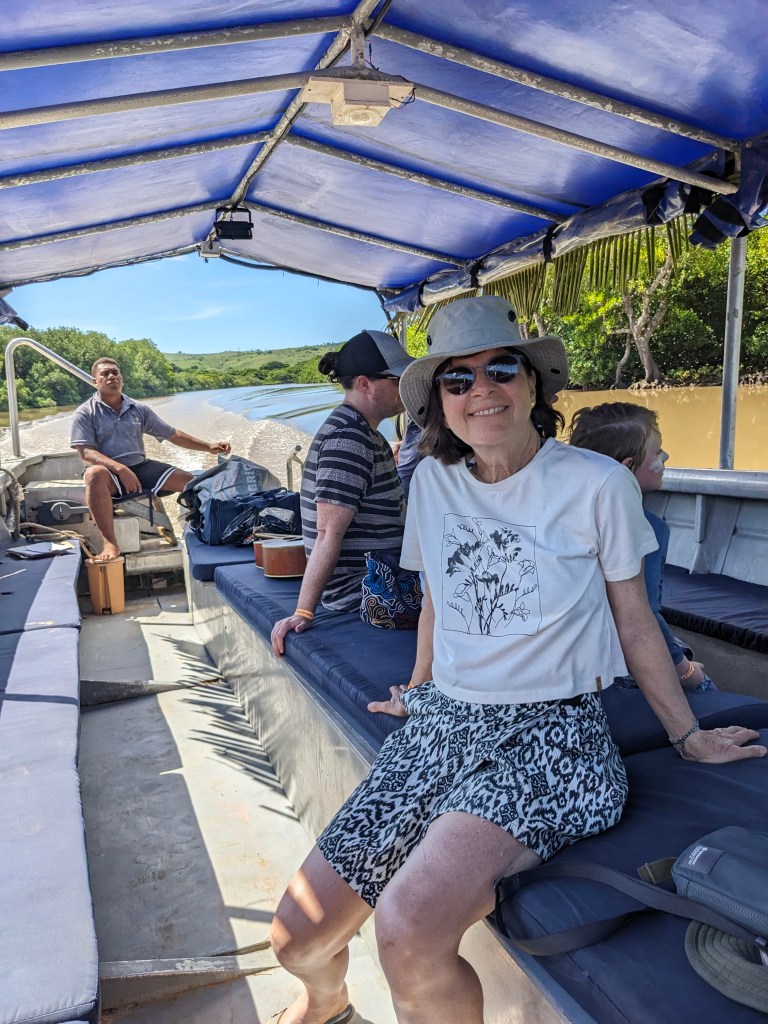
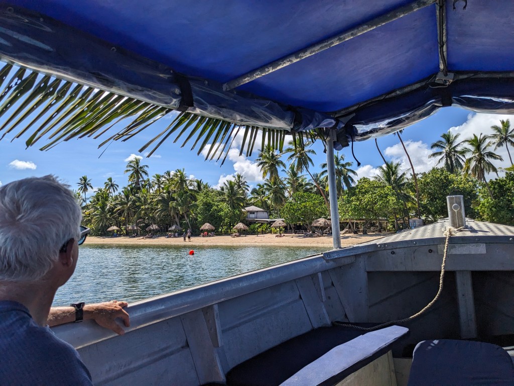
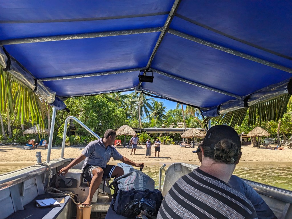
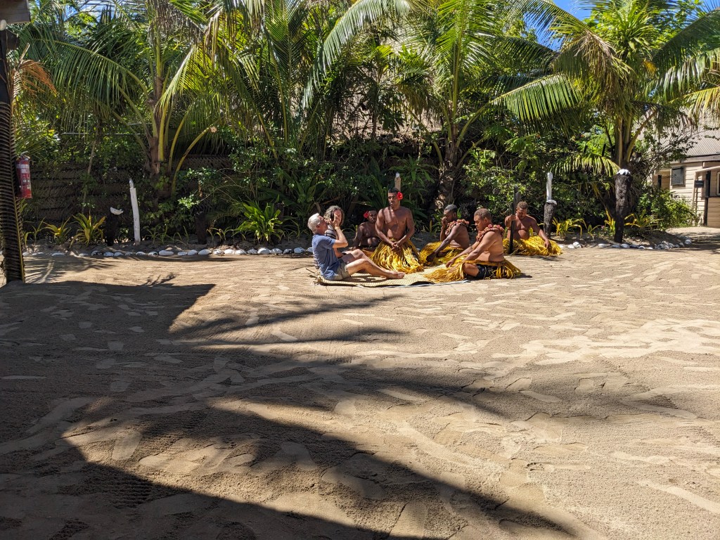
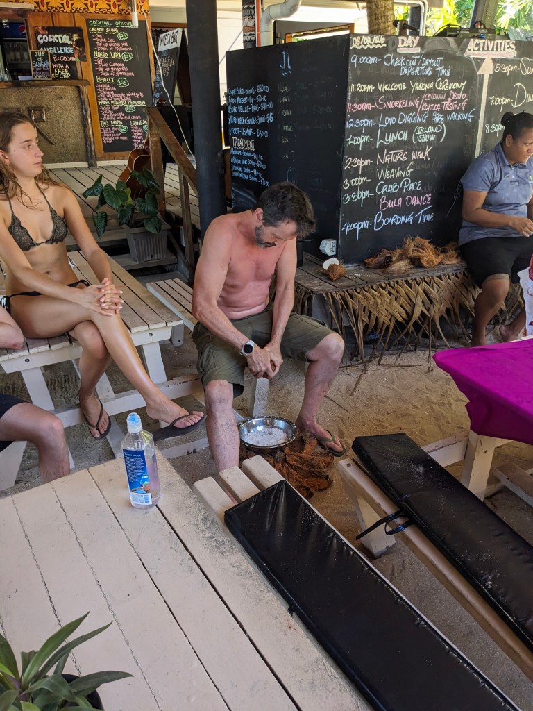
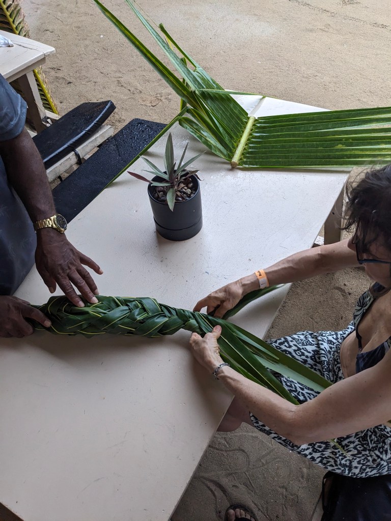
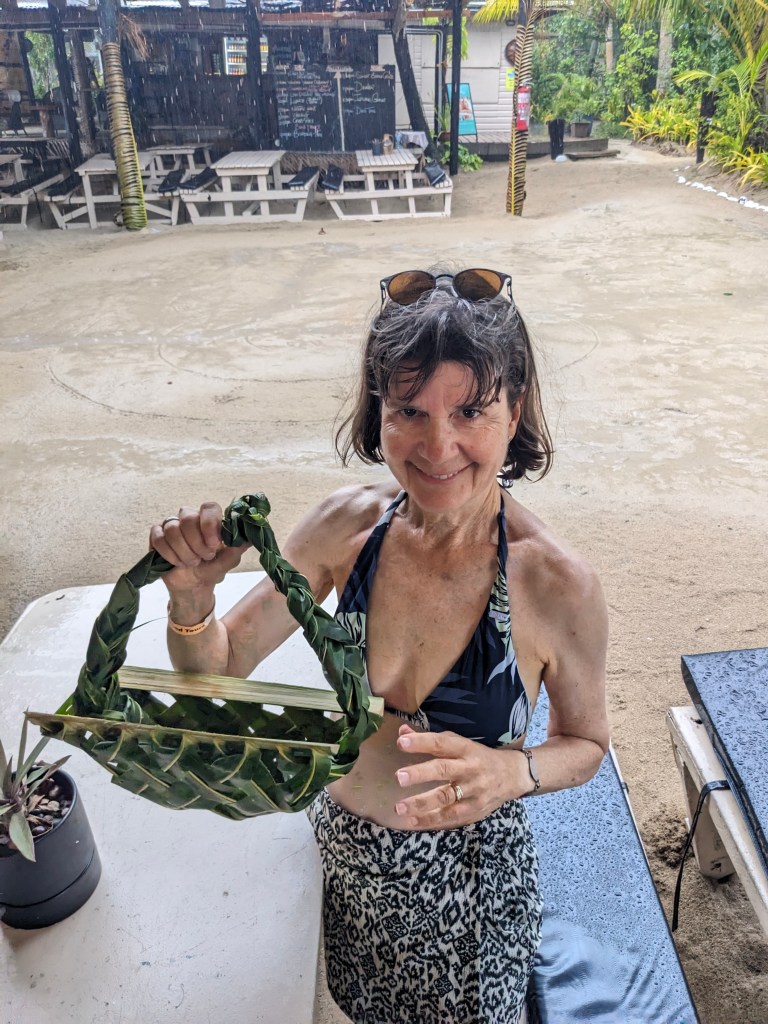
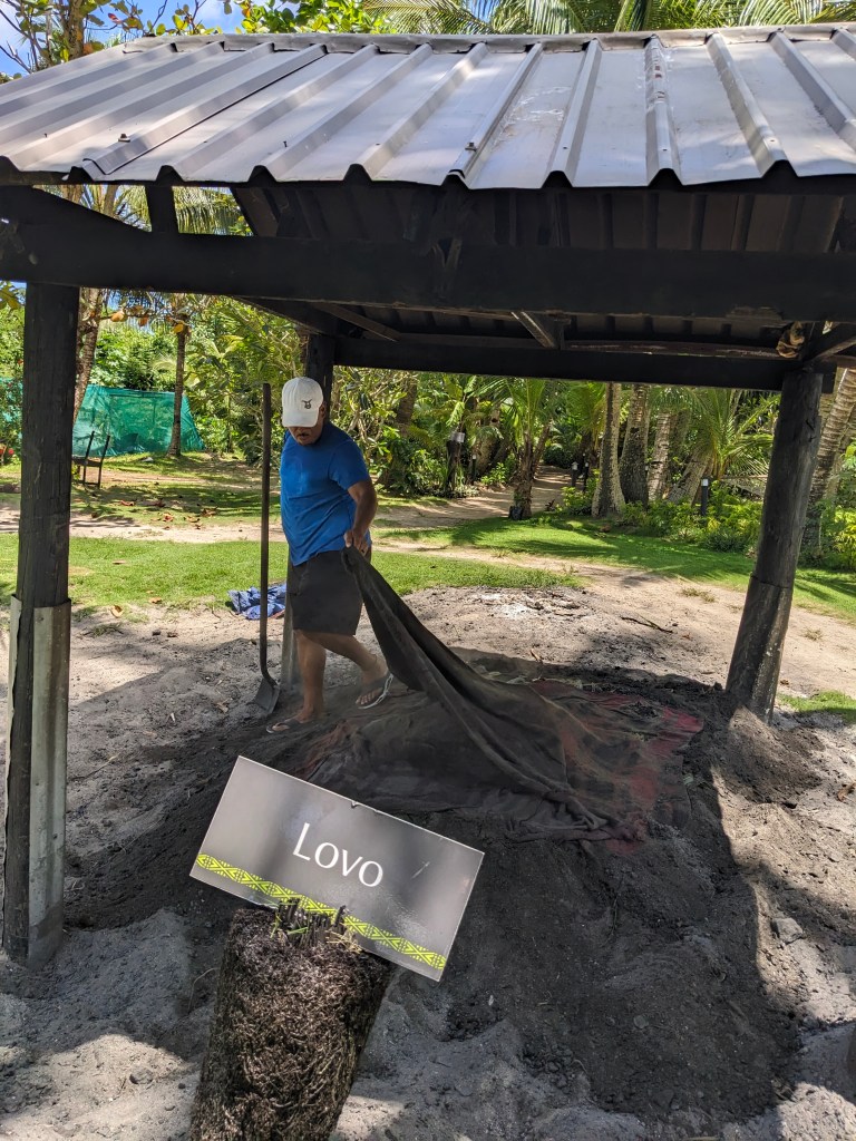
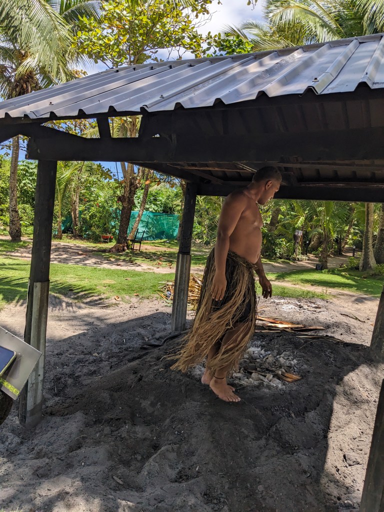
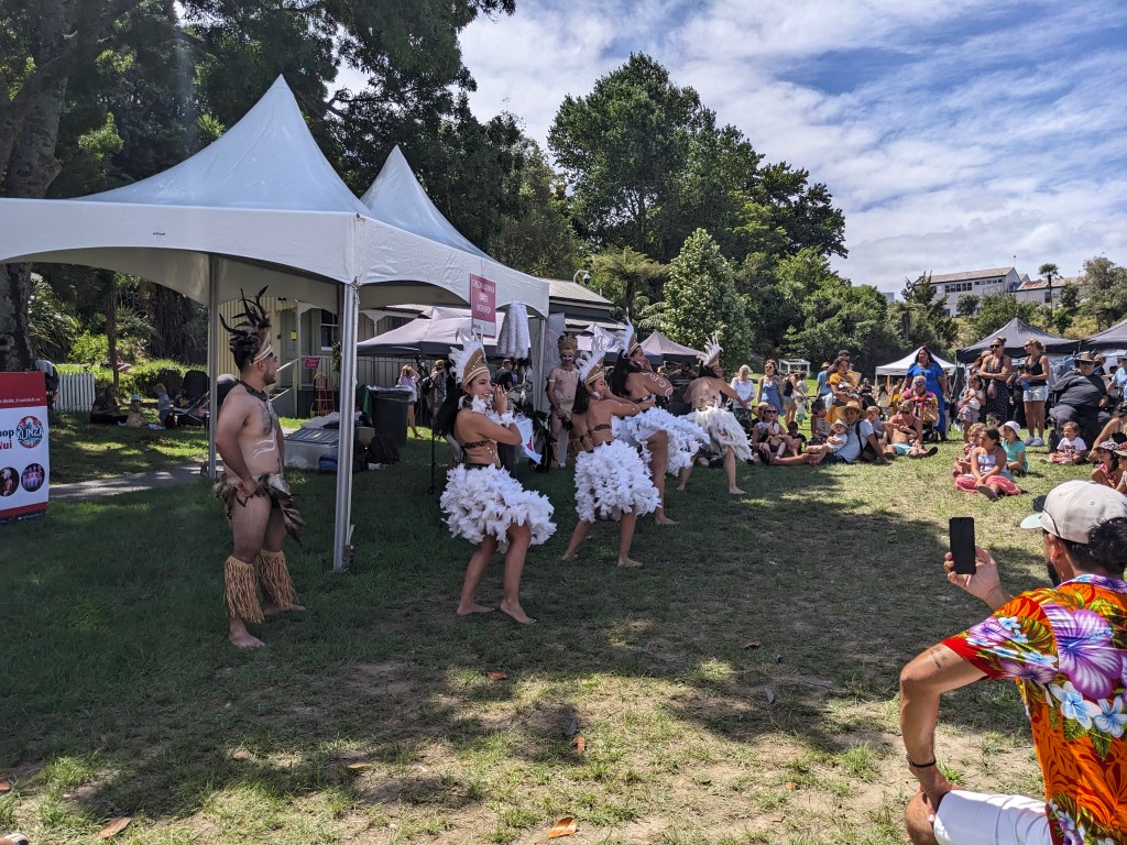
Mainly we just relaxed, kayaked, and swam in the pool but we did go on one ‘excursion’ out to the small island of Likuri for a day. This included bus pickup from our resort, a boat ride down a river and then out to our tropical island getaway just a km or so offshore. While there we had a musical Fijian welcome and the Kava drinking ceremony with the chiefs to start. Yes, my lips got numb, I remember that from 45 years ago. Other activities included a Lovo (cooking underground with hot rocks) lunch, traditional dancing, basket weaving lesson, and a nature walk identifying trees and plants in the traditional Fijian pharmacopeia. Strangely there was a group of young Danes, maybe a dozen, staying on the island in the dorm accommodation. Party time for them no doubt, a long way from home.

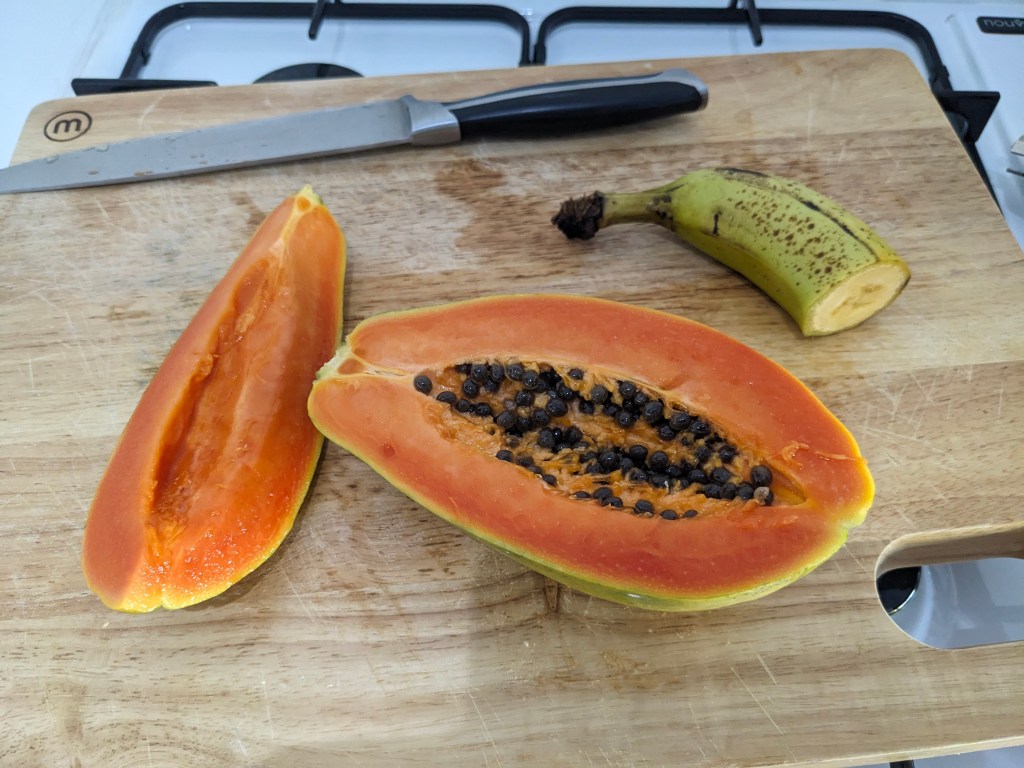
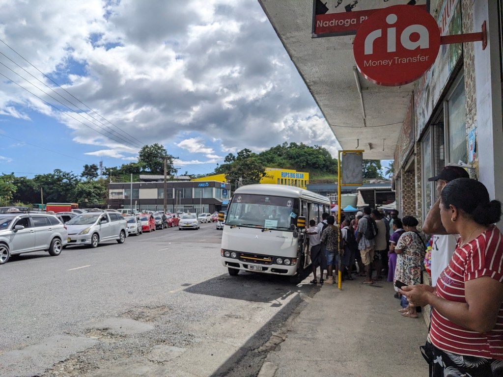
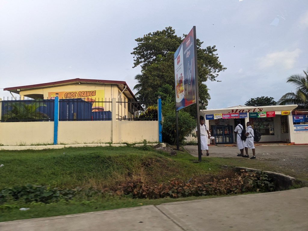
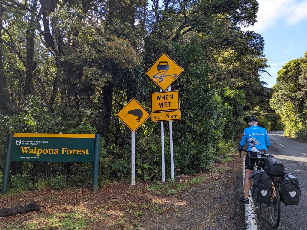
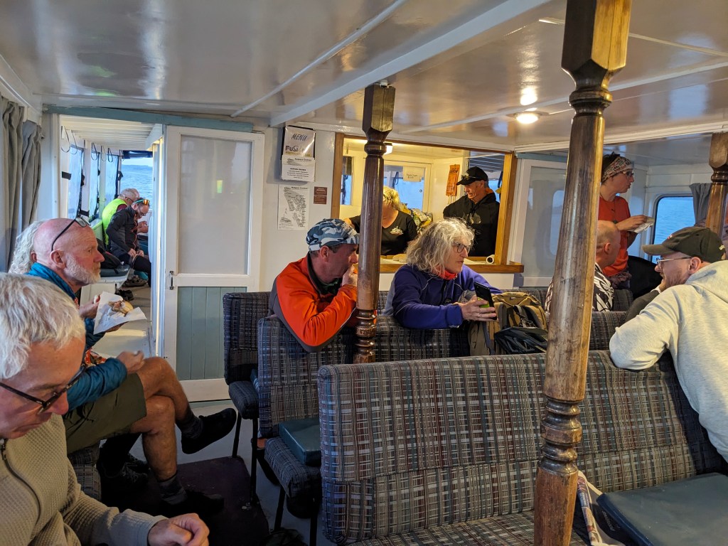
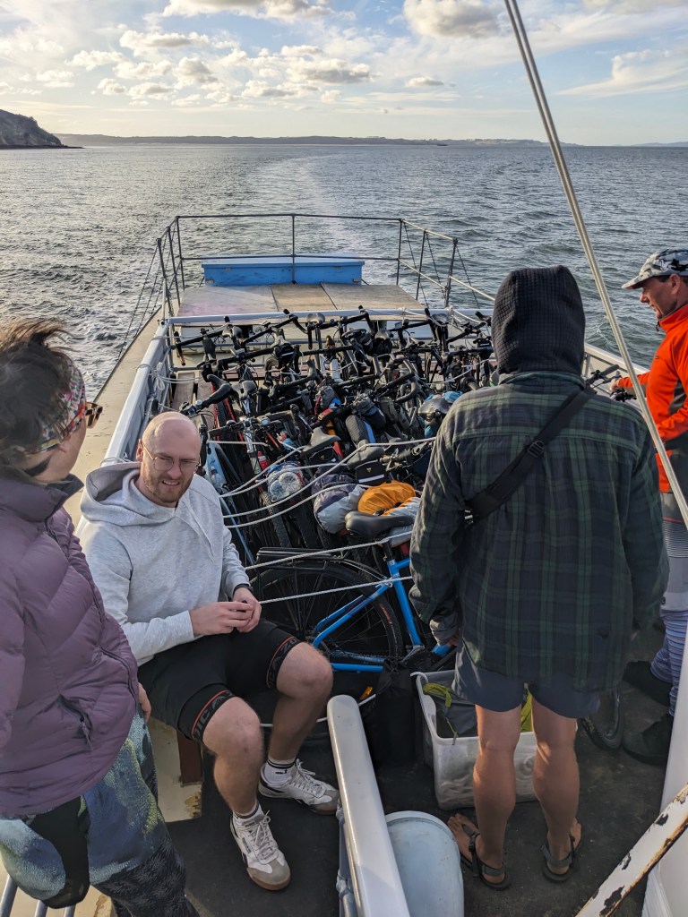
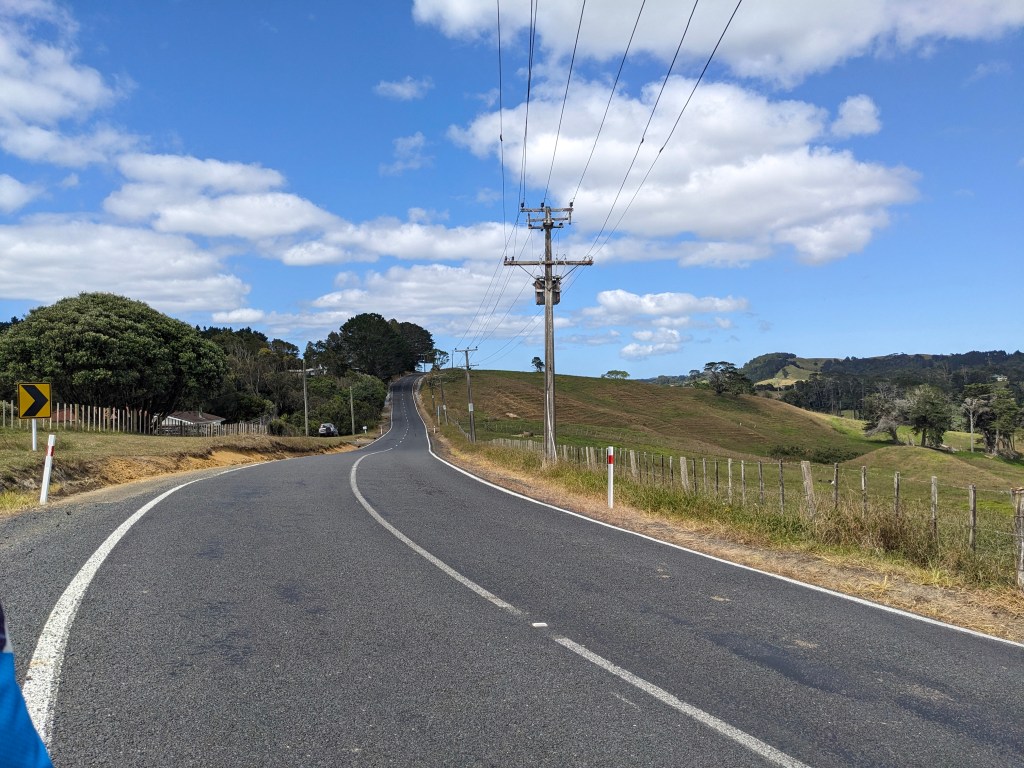
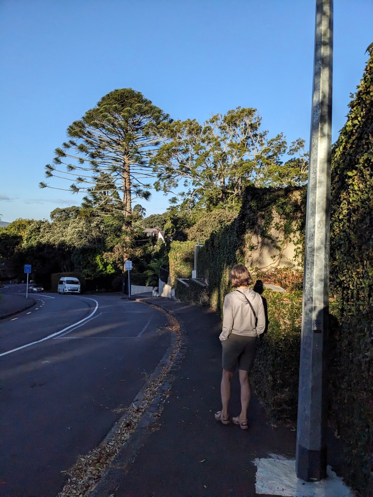
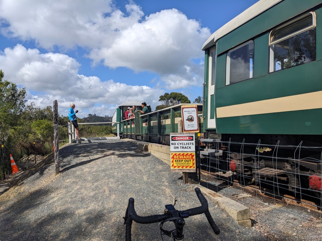
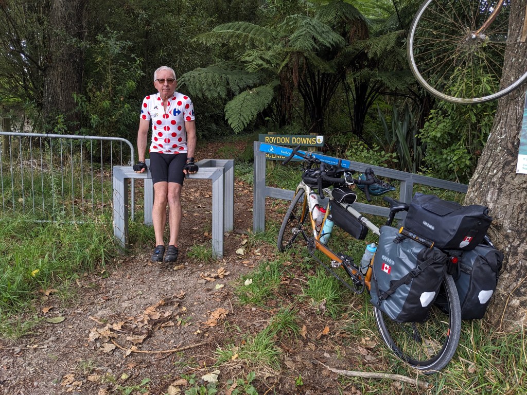
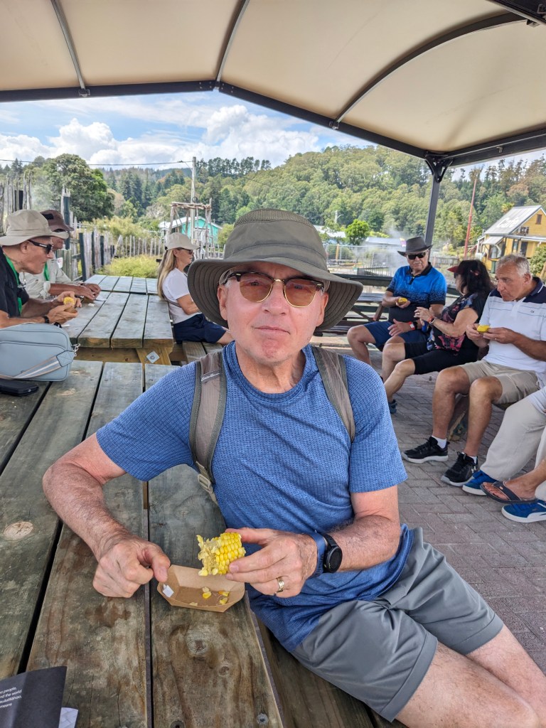
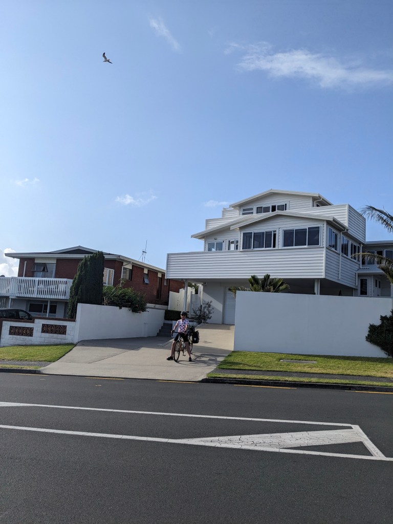
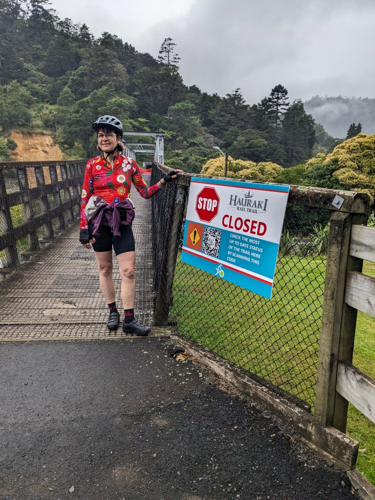
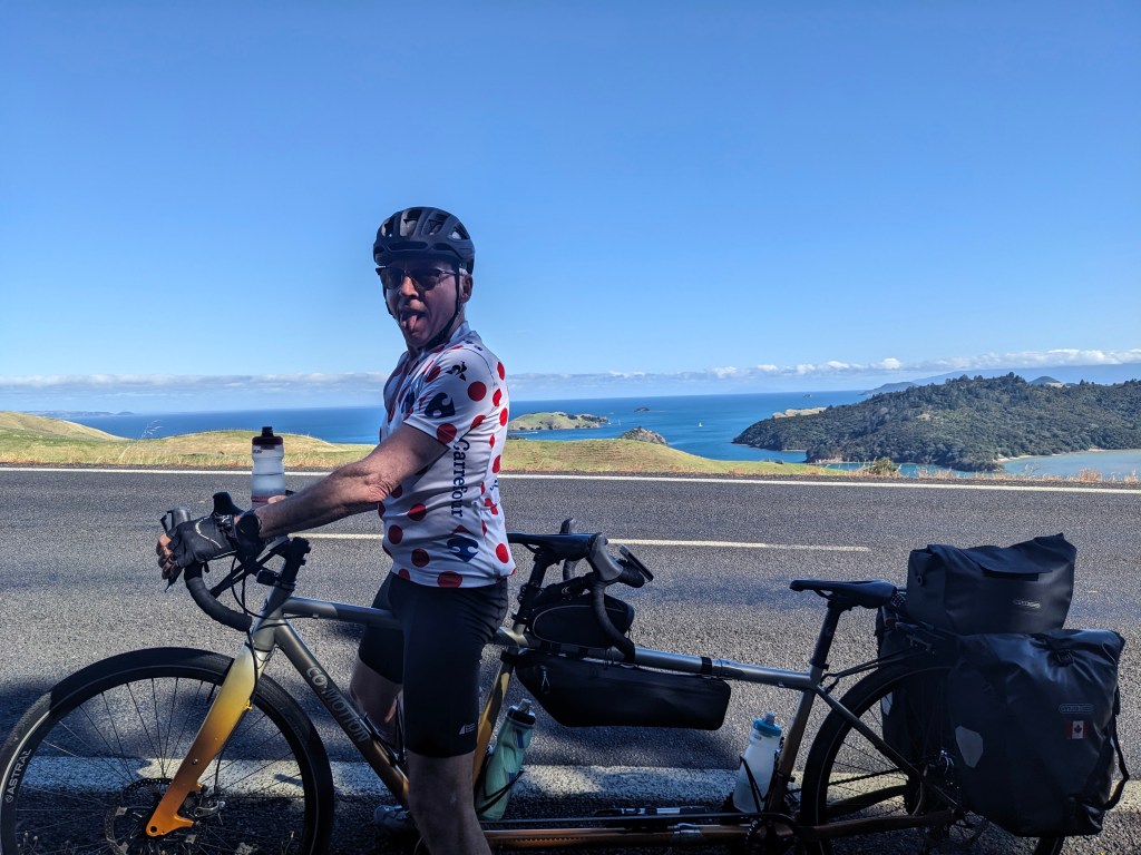
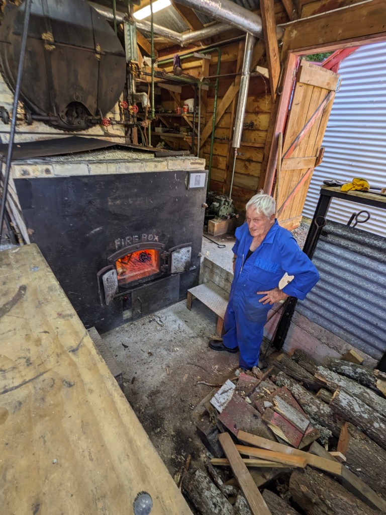
We also went into Sigatoka town for essential supplies one day which was a unique Fijian experience. We got a lift in with the man who looks after the pool here in another example of Fijian friendliness. Sigatoka is a crowded chaotic town (that African vibe) but we managed to get fresh produce from the local open market with many people selling the same items (papayas, bananas, miniature pineapples, avocados, okra and a root vegetable) and a few other items from the grocery store which was difficult as the available food wasn’t familiar to us. We didn’t see anything worth lingering around town for so found the bus stop and waited along with many other locals and tried to determine which crowded bus to get on. During our wait we were offered taxi rides by some drivers in the long line of cabs looking for business, I guess we didn’t blend in, but we decided to complete our experience with a local ride on an open air bus. There are few bus stops, people just signal when they want to get on/off and the driver stops, often every 100-200 meters, client centred for sure. We had made the decision within the first few hours of arriving not to ride our bike in Fiji. The roads are just too chaotic and busy with traffic of all kinds going too fast, people walking and hitchhiking, livestock grazing roadside and importantly, no other bikes.

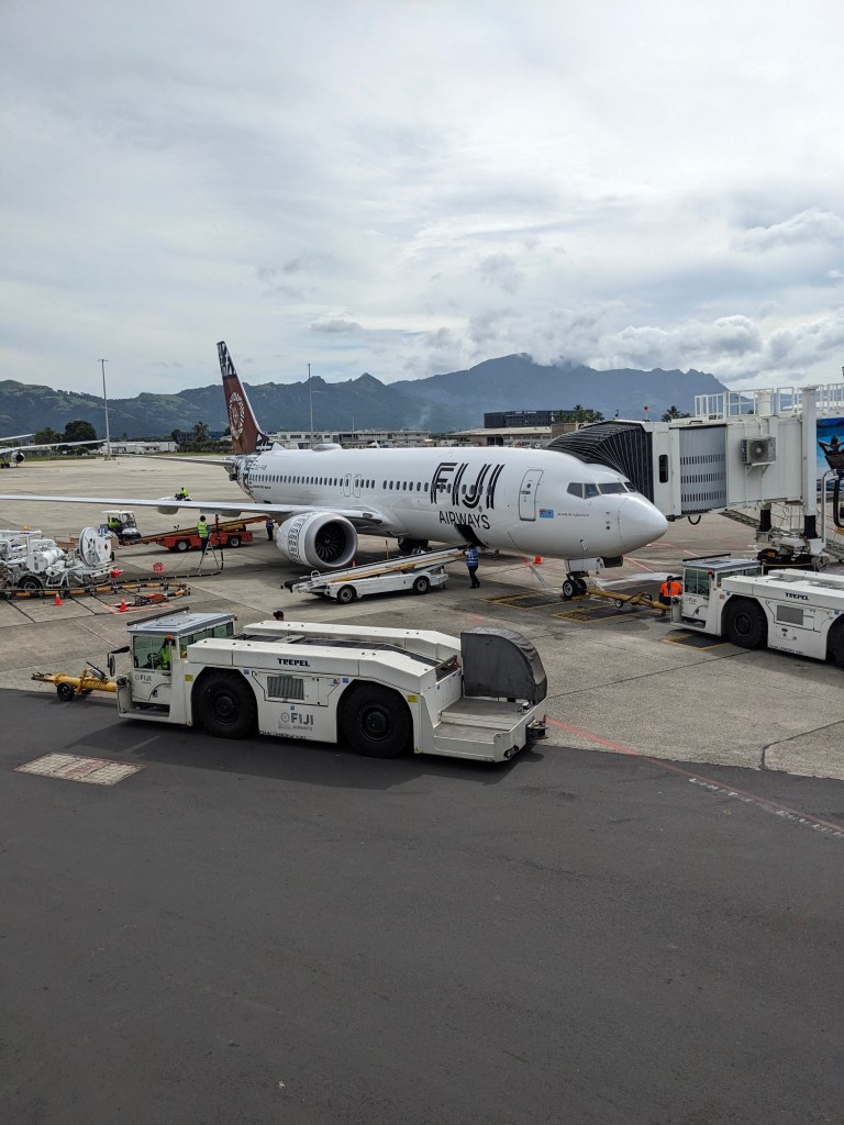
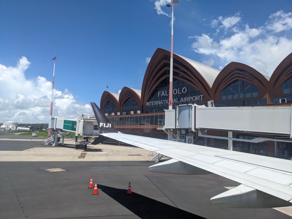
When it was time to leave Fiji we left bright and early in our prearranged taxi with the same driver that picked us up. I appreciated that his car seemed to be mechanically sound and did have seat belts, not all of them were in as good shape. The drive was a little more hectic than when we arrived as we did hit the morning rush hour. Our driver was doing a lot of passing and driving too fast alongside the livestock and people by the road. I decided to not look forward anymore, just out the side at the interesting things we passed by, as it was too unnerving. I was seriously worried we might die on a Fijian highway… Thankfully we made it safely to the airport and boarded our plane bound for Honolulu with a brief fueling stop in Samoa, then crossing back over the dateline and having two Friday March 13ths.

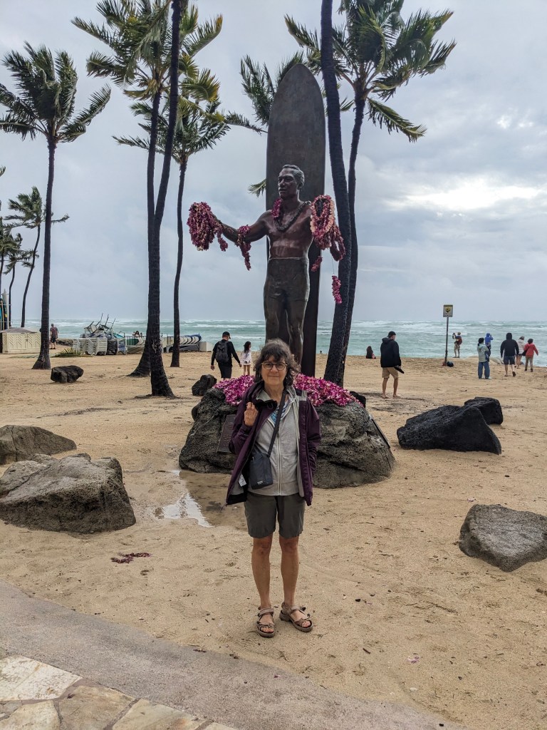
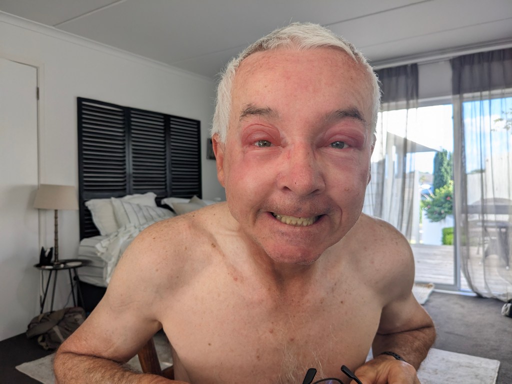
The last hour or so of the flight and the landing at Honolulu was quite rough due to a major storm in the Hawaiian Islands. We both felt that the threshold for turning on the ‘fasten seatbelts’ sign on Fiji Airways was much higher than we were used to. Travel is always an eye opener and makes you appreciate where you live. We arrived in the evening and then spent the night and the next day in Honolulu waiting for our flight to Calgary. The storm endured through the night and into the next day with high winds and lots of rain, we seem to be experiencing a lot of this, and it knocked out the power for much of the following day and everything was closed. Thus our plan to enjoy Honolulu for a day was dashed. We read our books in the hotel lobby for awhile then headed back to the airport to wait for our 10:30pm flight (left at midnight) which luckily wasn’t affected too much by the storm and we had a fairly smooth flight home with a tailwind. We arrived home to a wintery day but still always appreciate coming home again.

Honolulu not at its finest!

On the Tour Aotearoa route: Kaihu to Dargaville to Helensville and return to Auckland

6 Mar

One of the things I found in researching the best places to ride in New Zealand is that there exists a recognized bike route running from the northern most point to the southern most point in the country, the Tour Aotearoa, or TA (Maori name for New Zealand). That is, from Cape Reinga to Bluff, a distance of ~3000kms. As I put our route together coming down the west coast I realized we could and in some cases would be (limited road choice) on the same route. That was helpful for knowing that where we wanted to go was ride-able, at least by some cyclists. But more interesting is that every year a Brevet is organized for the route, and we would be in the middle of a throng of cyclists heading south by coincidence. A Brevet is a cycling event where you ride unsupported from A to Z within a maximum time (in this case 30 days), along a mandatory route passing through control points. While in Omapere enjoying a glass of wine on the deck with Jim and Susan we began to see cyclists with bike packing gear go by on the road which clued us in to our ride’s timing. It was very inspiring and confidence building to see a bunch of cyclists on the same route after having not seen many at all doing what we are doing.

Off we went on our next leg knowing this was going to be a very hilly day on the highway again and possibly with some rain. The ride was indeed hilly (over 1000m in elevation gain) but in more of a gradual way after an initial sharp climb out of Omapere. What was fun though was chatting with the cyclists we came across throughout the day. It was mostly the same dozen or so folks, either Kiwis or Aussies and one young American. Surprisingly, most riders were all right around our age, such a nice bunch and of course quite fit. One lady in particular just cruised away from us on the uphills, saying “I just love the climbs”, wow! The ride this day took us back up the mountain past Tane Mahuta and through the kauri forest again except we kept on going. The road was good and it was fun coming down the other side through the dense foliage of the Waipoua forest.

We arrived at our Kaihu holiday park, which was in a fairly remote spot, in good time and dry. The hardy bunch we had been with most of the day carried on another 35kms to Dargaville, leaving us thankful to relax but maybe feeling a bit whimpy… The evening’s food choice was limited, whatever the holiday park had stocked up on, for us a frozen pizza and a can of kumara (sweet potato) soup (and an ice cream), no fresh vegetables unfortunately. Late afternoon the rain came pouring down as soaked and dirty riders kept coming into the camp, about 20 or so stopping here for the night, many tenting it in a good downpour. Yea, we’re happy in our small but dry cabin.

The following morning we waited until the rain stopped before setting out for Dargaville, only 35kms so not concerned about covering much distance, though it was almost all gravel and hilly, so slow going. It was very windy but no rain. Again we were following the TA route but we left later than all the others who had to ride farther so we didn’t see many cyclists today, just a few not on the tour like us. Dargaville is a medium sized town with good amenities and a few attractions. We stayed in a nice family run hotel with a pool but unfortunately not warm enough to swim. We visited the Dargaville museum and learned about the kauri logging history in the area as well as the kauri gumdiggers, who interestingly are almost all from the Dalmatian coast. We had wanted to take a ride out to the west coast and ride on the beach (apparently the longest rideable beach in NZ at 100kms) but the wind was extremely strong again from the west. This wind was affecting some of the TA riders in that the small ferry boat that transports you from Pouto Point to Helensville had to cancel their once daily sailing due to wind and swell. This left 45 riders stranded overnight at the small and remote campground hall in Pouto Point until the next morning when things settled down. This left us somewhat anxious about our reserved spot on the boat for the next day but messages on a facebook group gave us hope it would be okay. The weather forecast promised improvement.

We were concerned about the wind for our trip but luckily things did settle down for our ride. However, it was still one of the tougher rides we’ve done this trip at 70kms and over 900m of elevation gain. In addition there are no resources (stores, toilets, water, etc) from about 12kms out of Dargaville until you reach Pouto. The road was quiet and well paved until the last 10kms where it turned to rough gravel with lots of washboard and big stones along with more hills, making that last leg very challenging. At times we had to walk as we were skidding too much. In addition there were some vehicles on the road causing big dust clouds so we arrived at Pouto Point feeling quite done for the day. To our pleasant surprise we had the use of the campground hall, kitchen, washrooms, showers and there was a small store selling limited groceries and ice cream! Just what we needed to restore ourselves. There were a few other TA cyclists there who welcomed us when we arrived and more kept arriving as we waited for the 6pm ferry. This ferry is a special arrangement by a fellow with a small ferryboat to help the TA cyclists and others crossing over to Helensville. He only does it according to need, not regularly, and we had booked it months ago thankfully, not realizing we would be in the throng of TA riders. This section is called the Kaipara Missing Link and saves you riding about 250kms on highways around the inlet. The captain times the trip with low tide, hence the 6pm departure for a 3 hour ride. The bikes are loaded directly from a ramp lowered to the beach, to the top of the boat and then we get on via the same ramp. On our trip we only had about 20 bikes so not a full load. It was a super fun and unique experience and we all relaxed on the cozy boat ride with tea, biscuits and hotdogs served while chatting with our new found companions. We arrived after dark, unloaded the bikes, got our strong lights out and found our accommodations for the night, not very far away. It turns out this is another area where geothermal hot water is used, in this case for our private hottub at the hotel. We tried it the next morning; as it was we were exhausted and fell into our beds.

The next day was our final ride of the trip, back to Auckland. It was a nice day and a good ride with only about 15kms on the highway. Again it was quite hilly with over 700m elevation gain but it is getting easier. New Zealand is an extremely hilly place, at least where we rode on the North Island. You are rarely riding on flat ground for long, so quite challenging, but our legs have gained some strength. The rest of the ride was on small country roads, paved, and then almost entirely separate bike trails to get through Auckland (very good trail system in the city) and back to our starting place where the bike cases were stored for the past 7 weeks. It’s always a bit bittersweet to finish up these trips and we can’t believe how fast the time goes.

Our final day in Auckland was spent breaking down and packing up the bike and getting organized to fly out. We also did some souvenir and gift shopping as now we don’t have to carry it on the bike. Cycle touring limits your shopping drastically while you are cycling and probably saves money. Tomorrow we fly to the main island in Fiji for a 5 day rest before heading home via Honolulu.

Omapere/Opononi via Kaikohe

28 Feb

To get to the other side of Northland (north on the North Island) we followed the Twin Coast Cycle Trail that goes from the east coast almost to the west coast, 87kms long. This starts in Opua, about 10 kms from Paihia. We had to ride on the narrow, twisty and hilly highway to get to the start but the traffic was light thankfully. After only a few kms on the trail you have to take a historic railway with an open rail car to carry all the bikes as there’s no trail. When we arrived at the so called train station it was a bit underwhelming to say the least and I was starting to think of a plan B. We were the only people/cyclists in this remote place and all that was there was a porta potty, a log to sit on, a very basic platform and of course some rail tracks. George had booked this train awhile back and had a confirmation so I had to have faith. It did arrive and right on time. It was actually a fun and quirky 4.2 km slow ride by a lake and through a forest to the next station. We got off and rode to Kawakawa where we saw the ‘famous in New Zealand’ Hundertwasser public toilets and then on to Kaikohe along the cycle trail. This trail is much less developed than the others we have followed, often just a narrow gravel walking track beside the road, so we often just rode on the road anyway which was very quiet. While on the trail every so often we would meet a gate ostensibly to guard against other vehicles using the trail. Unfortunately they were not designed for cyclists with panniers (or tandems) and in some cases we had to down luggage to get through, a royal PITA. Oh, and there were 26 of these on the route… There were, however, some very beautiful sections through forested areas and suspension bridges over streams and valleys. We slept in a basic hotel in Kaikohe but it was clean and met our needs. Kaikohe isn’t a big place and a poorer area so not many eating establishments. We had to make do with take out from a local Thai food restaurant.

For the second part of the ride across to the west coast we opted not to take the remainder of the cycle trail as it was all gravel which is slower and would end up being considerably longer with 2 ferries rides to boot. We instead rode on the highway all the way to Opononi and the road was quite quiet. There were some significant hills to get over and there were no services anywhere between start and destination, but we managed. The area we were riding appeared to be predominantly Maori lands with little development. When we arrived in Opononi we came around a corner and were greeted quite suddenly with an amazing view of a giant sand dune just across the Hokianga harbour, quite stunning. We picked up a few groceries in the store here, as it’s the only store, and rode the last 3.5 kms to Omapere where we were staying. A few hours later our friends from Calgary, Jim and Susan, arrived via rental car for a 2 night stay with us here.

The next day we visited the Waipoua Forest, by car, and were able to see 2 very old, large and famous Kauri trees: Tane Mahuta (Lord of the Forest) about 2500yrs old and Te Matua Ngahere (Father of the Forest), a bit older. We entered the forest through special foot cleaning gates and walked on boardwalks most of the way. This is due to an issue with mould/fungus spores causing kauri dieback that can kill the trees within months. Kauris can live 6000-10,000 years and grow very slowly. The 2 large trees were amazing to see, so big, and we had a lovely forest walk as well. After this we drove back towards Omapere and out to the point where the Tasman Sea meets Hokianga Harbour. We were able to follow a hiking trail that gave us amazing views of the harbour, the coastline, the wild waves and the forest. That evening we had a lovely dinner together at the only restaurant in town, a nice hotel restaurant overlooking the water.

The following day we drove to another nearby town that was having a “Wild West” celebration and a car show. We were expecting something western, like a rodeo, maybe cowboys even, however it was neither. It was mostly about the old cars which were interesting but not spectacular. There were a few horses there but I believe they just called it that because we’re on the west coast. We also did a bush walk to a beautiful waterfall and saw many large ferns and were serenaded by very loud cicadas. After this Jim and Susan headed on their way back to Auckland to meet their cruise ship that will take them all the way back to North America. We had a great couple of days with them. We had to relocate for one night to the nearby Opononi Hotel where we were able to soak up some sun and go for a refreshing swim.

Paihia (“Good here” in Maori) Bay of Islands

24 Feb

Again we were unable to easily ride to The Bay of Islands so opted for a 4 hr. bus ride from Auckland, which is easier said than done with a tandem bike. The bike was too large to take on the bus unless we broke it down and put it in a regular sized bike box. We had called around for a box a few days prior and weren’t able to secure one but when we went to a nearby shop we got one easily and George tore it down and packed it. The problem with a bike box is that it no longer rolls so getting places is challenging. We ordered a “van” taxi for the morning we were leaving to take us to the bus station but unfortunately it didn’t arrive and they wouldn’t answer their phone. Plan B was an Uber Big Boot as it’s called here and it came promptly but wasn’t so big. Once the bike in the box was in the car there was only room for one passenger so George rode and Tara hoofed it about 1.5 kms to the station. Luckily we had given ourselves lots of time so we and the bike all made it onto the bus. The only way to get all the way to Paihia was on the number one highway so this was another wise decision. Paihia is pretty small and not so many transport options so we decided to just carry the bike in the box the 650 m to our apartment but it was more difficult than anticipated due to a very steep hill at the end. This was after George had already carried our panniers up so we only had the box. Nothing is easy… But, one look around the Bay of Islands makes it all worth it. This is a beautiful bay with 144 islands and calm sheltered waters. George rebuilt our wheels and we disposed of the box, able to roll again.

Our first day here we took a short ferry over to Russell or Kororareka (delicious blue penguin) in Maori. Russell is one of the first European settlements (early 1800’s) in New Zealand. Back then it was known as the ‘hell hole of the pacific’ due to the lawlessness and abundance of poorly behaving sailors who landed here and spent their time in bars and brothels. They came on the many ships that brought goods to the area from Europe. Now it is a lovely quiet place with a charming waterfront, beaches and quiet streets. There is an old church, Christ Church, where one of the primary Maori chiefs that participated in various wars on the side of the British, is buried (Waka Nene). There are still bullet holes in the church from displeased Maori. After returning by ferry to Paihia we met with another old friend of George’s, Sue, for an evening of re-acquaintance and a lovely dinner together.

The following day we were shuttled around by car courtesy of Sue which was a good way to see more. We started by visiting the Ruapekapeka battle site, part of the Northern wars here between the Maori and the British in 1845-46. This was one of the battles fought due to the Maori discontent over how the British were not living up to their commitment as laid out in the Waitangi Treaty which had been signed in 1840 (more on that later). The site is on top of a hill and was apparently the first battle fought using trench warfare. When we visited it was empty except for us so very special and awe inspiring. We won’t turn this into a history lesson but look it up if you are interested. Next we drove up the road to the Kawiti Cave to see some glow worms. Glow worms are all over New Zealand and it was something we wanted to do and finally were able to. We were guided through the cave by a lovely Maori woman who gave us some history of the cave and a good explanation about the glow worm life cycle. The cave was easy to navigate, all on boardwalks, and we were able to see many glow worms. They are fascinating creatures that light up their tails to attract their prey and trap them via sticky lines that they send down from their cocoon.

The next day was spent touring the Waitangi Treaty site which is beside Paihia where we are staying. This was the treaty signed between the British and some of the Maori chiefs in February of 1840, during Queen Victoria’s reign, that outlined the rules that both sides would follow in order to allow for the British to settle in New Zealand and live amicably with the Maori people. It didn’t quite work out so well for the Maori over the years and there were many struggles, similar to other colonized countries, but it appears New Zealand is doing a good job now of taking care of everyone. The Maori language is prominent here on all signs and most places we visit have Maori names. We see many Maori people involved in tourism and other forms of business. The treaty site is quite extensive and well presented. It took us all day plus another half day to get through it and even then we didn’t see everything. There’s much more to it, again look it up if you are interested.

The weather in Paihia was quite pleasant and we did manage to finally have some beach time and a swim in the ocean. The water is not as warm as Hawaii but still quite tolerable. This is a subtropical zone, not tropical, so the temperature is good but not sweltering. The bay here is full of private boats as well as commercial ones for tourism to visit all the islands as well as the usual parasailing, sailing, jet boats, etc. A busy place and many tourists in general but we are getting to the end of the tourist season so not too bad and we enjoyed our stay here.

Putaruru, Cambridge, Hamilton and return to Auckland

18 Feb

We left Rotorua on Friday the 13th…and it proved to be a difficult day. It was raining lightly when we set off but that only lasted for the first hour or so then turned into deluge category about midday. We do have to accept that not everyday will be beautiful and sunny but this was excessive and Tara was feeling like it was Uber XL time (George is always more optimistic). But our problems started on our way out of Rotorua, following a bike trail which suddenly ended due to damage from the last storm. We cheated and carried on anyway but had to take the bags off the bike a few times and lift the bike over the barriers. It didn’t feel unsafe but there were a lot of repairs and excavation happening. Once out of Rotorua and on our route that kept to small roads and gravel tracks we suddenly ran out of track and were facing a rudimentary bush track that was supposed to last 16 kms, at the point the heavy rain began. It became difficult to see our garmin map due to the rain and George’s hearing aids were wet so he couldn’t hear well. We just couldn’t manage this with our bike and bags and had to back track about 8 kms and get on the state highway. Luckily the rain did lighten up again but riding on the highway with rain isn’t fun or safe. There was also road construction with traffic stopped and down to one lane where we had to wait through the stops and go after the cars, while sitting in the rain. We did eventually make it to our bed for the night in Putaruru, with great relief and only an extra 16 kms and about 2 hours later than expected. We were tired and thoroughly soaked, 2 days later our shoes were still damp. However, we have excellent waterproof panniers which performed well, everything inside was dry. In the evening the NZ weather station posted a red weather rainfall alert for the area overnight which was worrisome but appeared to be mostly southwest of where we were and in the opposite direction to where we were heading.

After a good night’s sleep and getting somewhat dried out we woke to slightly better weather and forecast. There were no problems for us, thankfully, but southwest of us there were roads closed again due to collapses and mudslips. It was still lightly raining when we set out to ride to Cambridge and it did get heavy again but luckily this was just as we were riding into the small town of Arapuni where we found a nice cafe to spend about an hour until the heavy rain passed. After this we were able to stick to lovely small roads and bike trails all the way into Cambridge with mostly light rain. Along this part of the Waikato river is the excellent Te Awa (The River in Maori) cycle path with designated bike routes along small roads and pathways. We were able to stop and take in part of a large rowing regatta at the Karapiro dam when the sun was out briefly. We made it to our next retreat in Cambridge just before the rain started again so today was a better day.

The following day was a rest day and a chance to see Cambridge. It was pleasant for about half the day, the other half it poured again but this time we had refuge and we used it. Cambridge is a lovely town that seems more British than Britain with a focus on horses, rowing and gardens. When it wasn’t raining we did a walking tour of the historic buildings and monuments then later a walk around the central lake, Te Koo Utu, which formed due to a Lake Taupo eruption about 1800 years ago that caused debris to dam the Waikato river. You access the lake via a steep downhill pathway that is thick with palms and plants that make it feel like you are descending into a jungle. There was also an interesting art installation called “Waterfall Steps”. The following day on our way out of Cambridge we rode past their velodrome training centre along the Te Awa cycle path again which carried on all the way to Hamilton.

The Te Awa pathway follows the Waikato river quite closely and is quite impressive with many bridges and boardwalks through the bush on the banks. It was quite an investment by the region and does seem to be well used. We have found some very good cycling infrastructure in New Zealand but it is limited to certain places only. Hamilton, Cambridge and Auckland are quite bike friendly places with many separate cycle lanes to make travel easy for us.

In Hamilton we stayed in a tiny house, literally. It was adequate though maybe tight for taller people on the upper sleeping level. Hamilton is similar to Cambridge in some ways with a central lake area but quite a bit bigger city. It is known for the Hamilton Gardens which we visited on our one day there. It is a very well designed and maintained attraction with themed gardens such as English, Japanese, Indian, Renaissance, Tudor and so on. We easily spent 3 hours wandering around there.

We left Hamilton by train to return to Auckland. It felt a bit like cheating but there just isn’t a good route to ride on other than the highway. Also we are limited by time and this makes it easier to see more. Once back in Auckland we found a bike box to put the bike into for a bus ride north to Paihia in the Bay of Islands. We will spend the next few weeks up north and make our way back to Auckland via the west coast.

While in Auckland we were able to visit and have dinner with an old schoolmate of George’s from Saskatoon and her husband, Karen and Ken, who live in Auckland. George and Karen haven’t seen each other since Grade 8 so there was a lot to catch up on. The next day after packing up the bike we took a short ferry ride over to Devonport on the north shore and walked up to the top of North Head volcano, a well placed mountain which was used in the First and Second World Wars to guard and defend the harbour. We got great views of the harbour from the top and saw the Battery (groups of guns and service buildings) and Observation Posts on the hillside.

Rotorua

12 Feb

Our ride to Rotorua was a longish one at 80 kms with some climbing and a bush bike path, to stay off the highway as much as possible. We started with a beautiful and quick 16 km down the beach road out of Mt. Maunganui to Papamoa which was flat and quiet. At the end of that we joined onto a separate bike path along the highway to Paengaroa followed by a small alternate road where we only encountered a few other vehicles. Despite a few hard climbs it was a beautiful ride through here. Eventually the road ended and we entered a reserve area with a bike trail. It wasn’t exactly ideal for our bike as it was narrow, gravel and jungley but we got through it anyway without walking. Eventually we did have to get on the highway for the last 20 kms and mostly the shoulders were decent and traffic was not too bad. We were expecting to get rained on but it turned out just fine weather wise. We had been warned that the sulphur smell in Rotorua was overpowering but fortunately we were a little way from the most active geothermal sites so not too bothered by it. We stayed in an older motel along a long road with many similar motels.

Just an aside here, something we’ve noticed in New Zealand is that pedestrians aren’t given priority over cars. On this long four lane road that we were staying on in Rotorua, about 2 kms or so, there are no crosswalks, you must jay walk. When you get to a crossing you do not have any priority, you go when it’s clear, and you must look in all directions including the cars turning from both directions. There are crossings that are just “pseudo cross walks” that say Pedestrians Give Way. In the very commercial areas of the cities there are crosswalks at the major intersections but only there. I think it’s much worse even than southern Europe, the drivers rarely stop for you even if you are already in the crossing. You have to stay alert, no looking at your phone or a map.

Rotorua is a big tourist destination due to the geothermal attractions as well as the Maori cultural sites. During our stay it wasn’t overly busy though, no trouble getting accommodations or seeing the sites. On our first day we visited Whakarewarewa village, just a short walk from our lodgings. This is an actual Maori village with people residing there still and it is on top of a very active geothermal site. We attended a cultural performance and had a tour of the village, learning about life on a constantly changing and dynamic earth where sometimes vents blow through homes but also how they use the heat and energy to cook and clean themselves. It was a fascinating and steamy environment to walk around. The water is very hot, often at a boiling temperature, so you don’t go swimming here. Where they bathe is cooler, only 45-50 degrees C, still pretty hot.

The following day we went into the centre of Rotorua by the lake, which is actually a caldera with an island in the middle. There are many active geothermal sites around the shore of the lake and close to where people are living. There’s another Maori village there as well, Ohinemutu, although not set up for tourists like Whakarewarewa. We walked along the shore of the lake through more geothermal sites where the sulphur smell is quite strong, although you get used to it. There are clear alkaline and murky acidic pools as well as boiling mud pools. There was one park with small pools where you could safely wade or soak your feet although it was quite warm, definitely warmer than our hot tub at home.

On our final day in Rotorua we took a city bus out to the Agrodome. This is a tourist farm, also an actual working farm, that George visited many years ago on one of his other trips to New Zealand. We saw a farm show that displayed and explained to us the various kinds of sheep, sheep shearing, about the different wool and grades, sheep herding with dogs, cow milking, and a trip around the farm via tractor to see all the animals such as deer, alpaca, cattle and more sheep. It was quite entertaining and Tara had a go at milking a cow.

The weather in Rotorua was quite nice, just one evening with some fierce thunder showers and a big rainfall however the forecast is quite wet looking, fingers crossed for our ride out tomorrow.

Mount Maunganui

8 Feb

Getting to Mount Maunganui took us two days rather than one so that we didn’t have to ride on the highway the whole distance. Instead of 65 kms on the state highway it was 97 kms on small roads and pathways over two days. We still had to be on the highway for about 32 kms of that but it was a much more enjoyable ride. This particular highway into Tauranga is a very busy one and despite having some shoulder (about 1 meter) it is still unnerving.

We left Waihi Beach and did a scenic route to Katikati, riding out to Bowentown on the tip of the peninsula before making our way around and onto the highway. Once in Katikati we rode around a bird sanctuary and past many kiwifruit orchards. This area grows a lot of kiwifruit which is shipped all over the world. Katikati is also known for its public murals.

We left Katikati in the morning and rode about 20 kms on the highway before we could get onto some quiet roads and pathways which took us by Omokoroa and Te Puna, through some nice reserves, parks, past beaches and scenic bays. This part was lovely. Getting through Tauranga was relatively easy as the city has quite good bike lanes. There was one tricky bit getting over the bridge to Mount Maunganui; we somehow had to get across a very busy intersection with cars going in many more directions than seemed possible and which lacked crosswalks and bike lanes. We eventually had to just hoof it across when the coast was clear. Unfortunately during this ride George made hard contact with a bee that got into one of the vents of his helmet and caused considerable damage. Tara removed the bee, which was plastered to his forehead, and all the other bee bits she could find but he ended up with a very swollen forehead and eyes which gradually resolved over the following 4-5 days with regular antihistamine, ibuprofen and a cooling gel eye mask. The captain does take the brunt of the bugs on a tandem.

We spent 3 days in Mt. Maunganui, staying in a private suite in a lovely home close to the beach and not too far from the lively commercial area. The weather was quite good and we had a very relaxing stay. We did several beach walks on the amazingly long and wide beach here (about 20 kms long!) and enjoyed watching the waves and the surfers. We did go in for a little dip but found the water quite chilly and the waves intimidating. On the other side of the peninsula is a quieter and smaller beach called Pilot Bay that is calmer and we hoped to be able to do some paddle boarding but unfortunately it was a bit too breezy.

At the base of this peninsula is the famous landmark Mt. Maunganui and it is indeed a magnificent view. Normally you are able to walk around the perimeter and hike up the mountain but the entire area is currently closed off due to the recent rain storm which caused several large landslides on the mountain, one of which occurred into a campsite at the base and killed 6 people.

The first day we were here was Feb 6, Waitangi Day, a national holiday in New Zealand, commemorating the signing of the agreement between the Maori people and the British government under Queen Victoria. It involved use and sale of the land as well as governing and was clearly a good deal for the British, not so good for the Maori. We attended a Waitangi Day festival which was really more like a heritage day festival but interesting nonetheless. We also went on a harbour cruise around the bay and the mountain. While here we met up with friends of a friend for dinner. They were lovely folks, local for some time, and well travelled themselves. We picked up many tips on our route and places we were going. (Thanks Heather and Dennis!)

Hauraki Rail Trail to the Bay of Plenty finally!

3 Feb

The Hauraki Rail Trail is one of the 23 Great Rides of New Zealand, designated, marked, and supported tracks for cyclists. Most are gravel, some are old railway lines converted to trails like the one we went on going south from Thames. We started out south but then added a bit going west and back on a part that we originally (so long ago) had planned to ride here from Auckland. Along the shoreline there are many birds, almost none of which we have at home so we have turned into birdwatchers. I am using an app called Merlin to help identify and keep track of them. The track going south was gravel but not difficult for our 38mm tires (43 would be better), although the Captain needs to maintain focus lest we slide into the ditch. The trail is well maintained and includes informational shelters and toilets along the way.

This is an intensive dairy country populated by Holstein-Friesian and Jersey cows, the latter of which make really good ice cream :-). You see them and smell them everywhere along this route, and there was also a notable Cheese Barn/cafe along the way which also had a few alpacas and rabbits for good measure.

We did a one night stop in Paeroa staying at a modern motel close to all needed amenities such as coffee and groceries. Paeroa is famous, “world famous in New Zealand”, for being the birthplace of a soft drink called Lemon and Paeroa, which mixed lemon flavouring with the natural spring water of the area, although it tastes a lot like Sprite. They have memorialized the drink by having a giant L&P bottle available for tourists like us to take a photo of.

Going east the next day on the way to Waihi beach, we began on an offshoot of the Hauraki trail which cuts through the Karangahake gorge and goes under a hill through a 1.1.km tunnel, saving us a climb. However, due to the recent weather event part of the trail was damaged so we only got as far as the start of the tunnel. We had found this out beforehand though so we had (re)planned to switch to the highway at that point. Also the rain had returned so overall it was a wet, but still warm, day. Again, riding on the highway is not ideal here but, also again, the drivers were well behaved.

So we have finally arrived on the east coast. We would have been here for awhile now except for the big rains that continue to have an impact on our trip. We were going to do a hike here along the coast but the trail was closed due to storm damage. We are staying in another holiday park cabin in Waihi Beach. The weather has been warm but still a bit drippy at times with sunny breaks. There is an amazing long and wide beach here that we didn’t reach the other end of after an hour of walking. The waves are a bit too wild for swimming in so we just walked and watched the surfers.

Thames

31 Jan

We rode south to Thames along the western side of the Coromandel Peninsula following a beautiful coastal road except for 2 big mountains that got in the way. We were thankful that the climbs were at the start of the day rather than the end and we got an earlier start to beat some of the tourist traffic. It took almost 2 hours to get over these bumps after which it was pretty easy the rest of the ride, just rolling hills. We saw many beautiful bays, birds, and the various native trees that we can now identify. Unlike in Europe there were not many cafes along the way so when we finally came upon one we definitely stopped to enjoy a nice coffee. Another feature unlike Europe, there are many public toilets which is a very handy thing when cycling. New Zealand is known for having plenty of public facilities and we have noticed and utilized them. We aren’t having much trouble riding on the left and even amongst a decent amount of traffic on major roads. There is never enough shoulder but the drivers are overall quite well behaved and patient about passing us.

Thames is at the base of the peninsula and is famous for the gold rush which happened here starting in 1867. At this time Thames was booming and bigger than Auckland. There are still many historic hotels and other buildings dating from that time and we are staying in one of them. It is currently a Bed and Breakfast but was once a hotel as well as a brothel and other businesses. Thames is no longer booming but it does attract tourists interested in nature, hiking, fishing, cycling (it’s the start of the Hauraki Rail Trail which we will be riding on) and gold mining history.

We just had the one day to look around and visited the Gold Mine Experience museum which was an excellent way to learn about the history of the area, see how the gold was mined and go into an old shaft. This was very difficult mining starting with that it was underground, not alluvial, where the gold and silver was embedded in streaks of quartz. It was a complex and toxic process to extract the bullion but the haul was truly massive before it ran out. We also took a walk along the shore which is a tidal flat and home to many sea birds such as herons, cormorants, stilts, ducks, etc which we were able to view from a bird watch ‘hide’. The weather has really turned into a lovely summer which we greatly appreciate.

Coromandel Town

30 Jan

This is a lovely little town on the west coast of the lush and hilly Coromandel Peninsula and the weather finally turned favourable. We were staying in a holiday park cottage with a pool and other good campground amenities like laundry (always welcomed on a cycle trip), bbq’s, table tennis (to keep our pickleball skills up hopefully), a large bouncing pillow which we didn’t partake in but enjoyed watching the kids as well as lots of shops and services close by. We cooked half our meals at the holiday park and went out the other half, once to a turkish restaurant and once we bought savoury pies to reheat. There is a definite ‘pie’ culture here which George is keen on checking out. Also the coffee in the cafes is excellent, ‘flat white’ being the norm. We bbq’d steak for two nights and surprisingly beef is about half of what it costs at home.

We spent the first day redoing our routes and our accommodations for the next week due to the route change and luckily had no trouble re-booking elsewhere. We did lose one night of refund with our cancellations unfortunately, but it could have been worse. Over the next few days we did a couple of shorter bike rides around the area visiting some beaches and waterfalls and climbing some hills trying to get our legs in shape for these big hills. We also visited Driving Creek Railway, a unique and interesting attraction with a narrow gauge bush/mountain train that takes you up 173 meters into a regenerating native forest area. It was built by hand by a local potter who used it initially to haul clay to his workshop but he transformed it into an attraction to promote conservation and share the beauty of the land. During the 75 min. trip up the mountain you see many native and some non native plants and trees as well as an interesting assortment of the man’s pottery.