Nanaimo/Protection Island/Gabriola

19 Sep
The flat is fixed ‘cept for the pumping

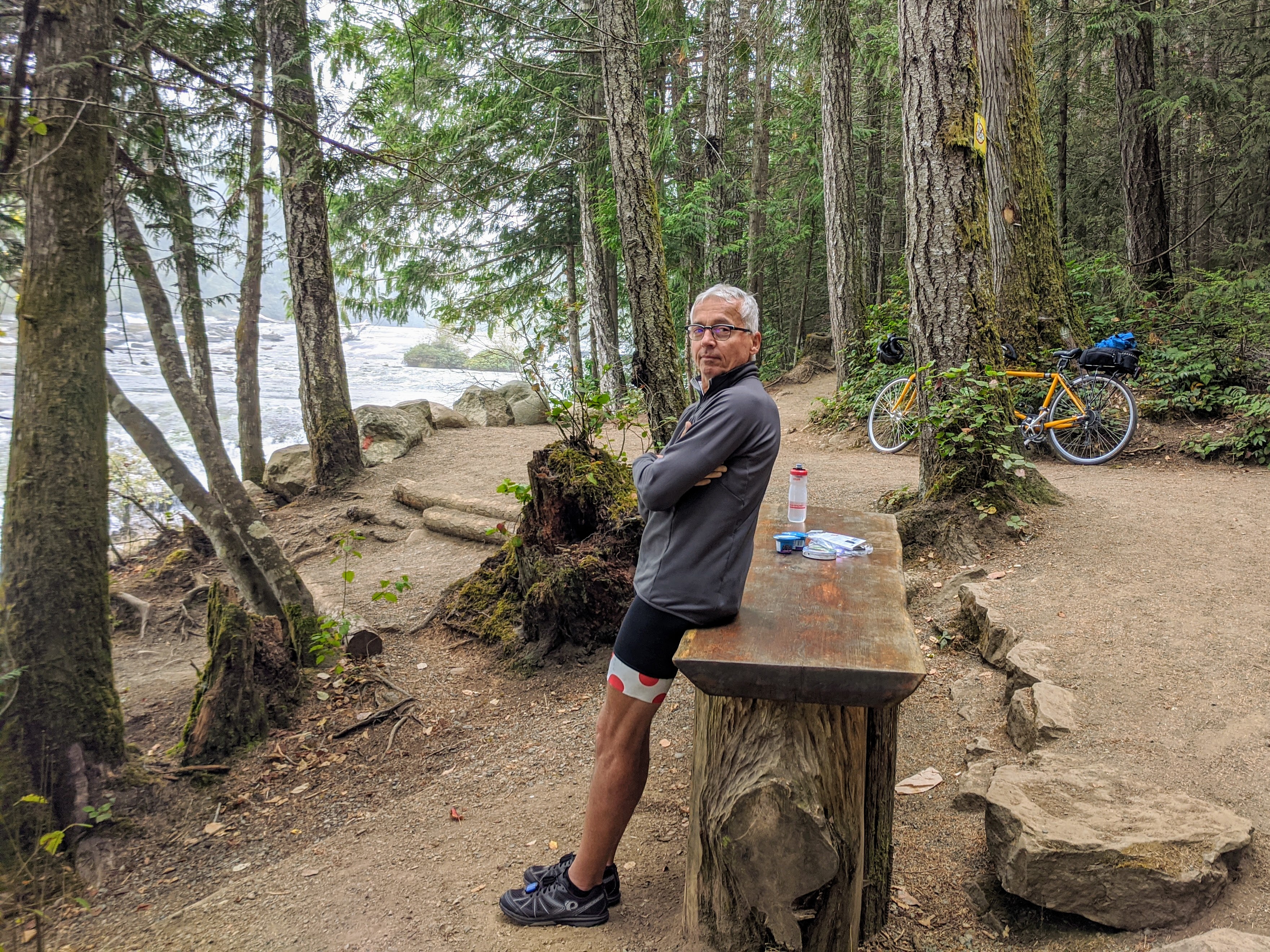
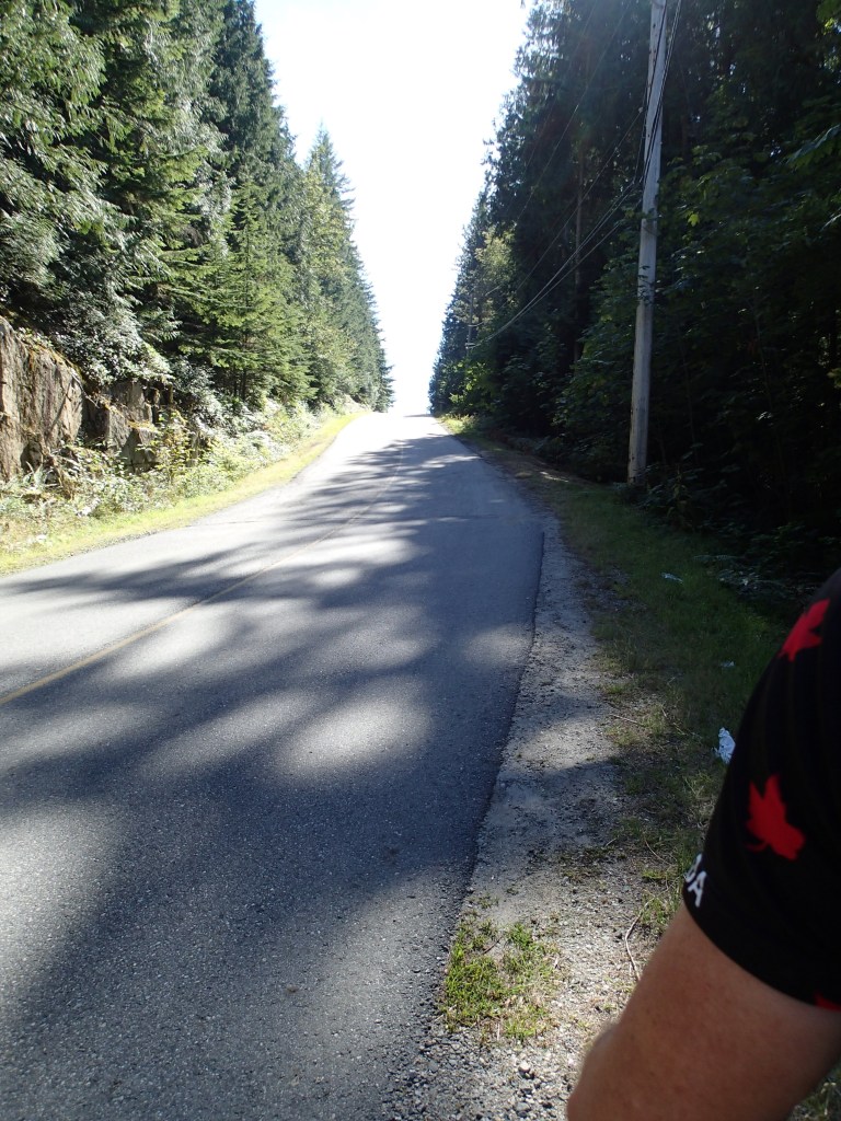
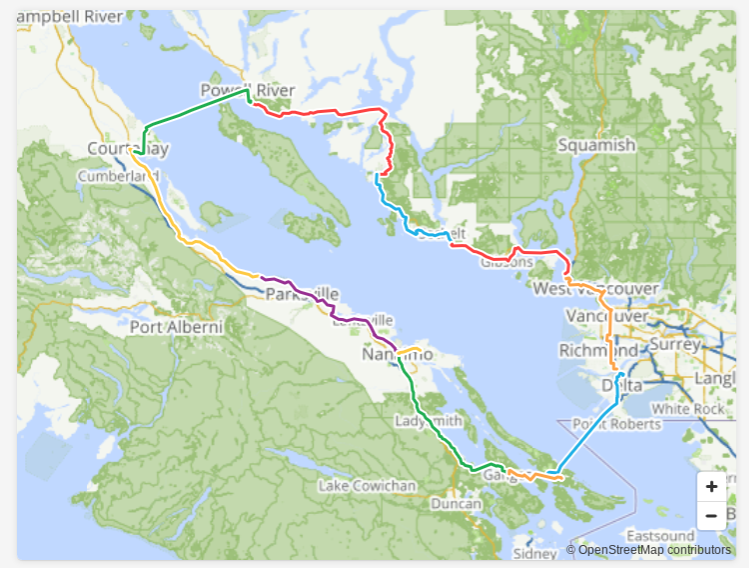
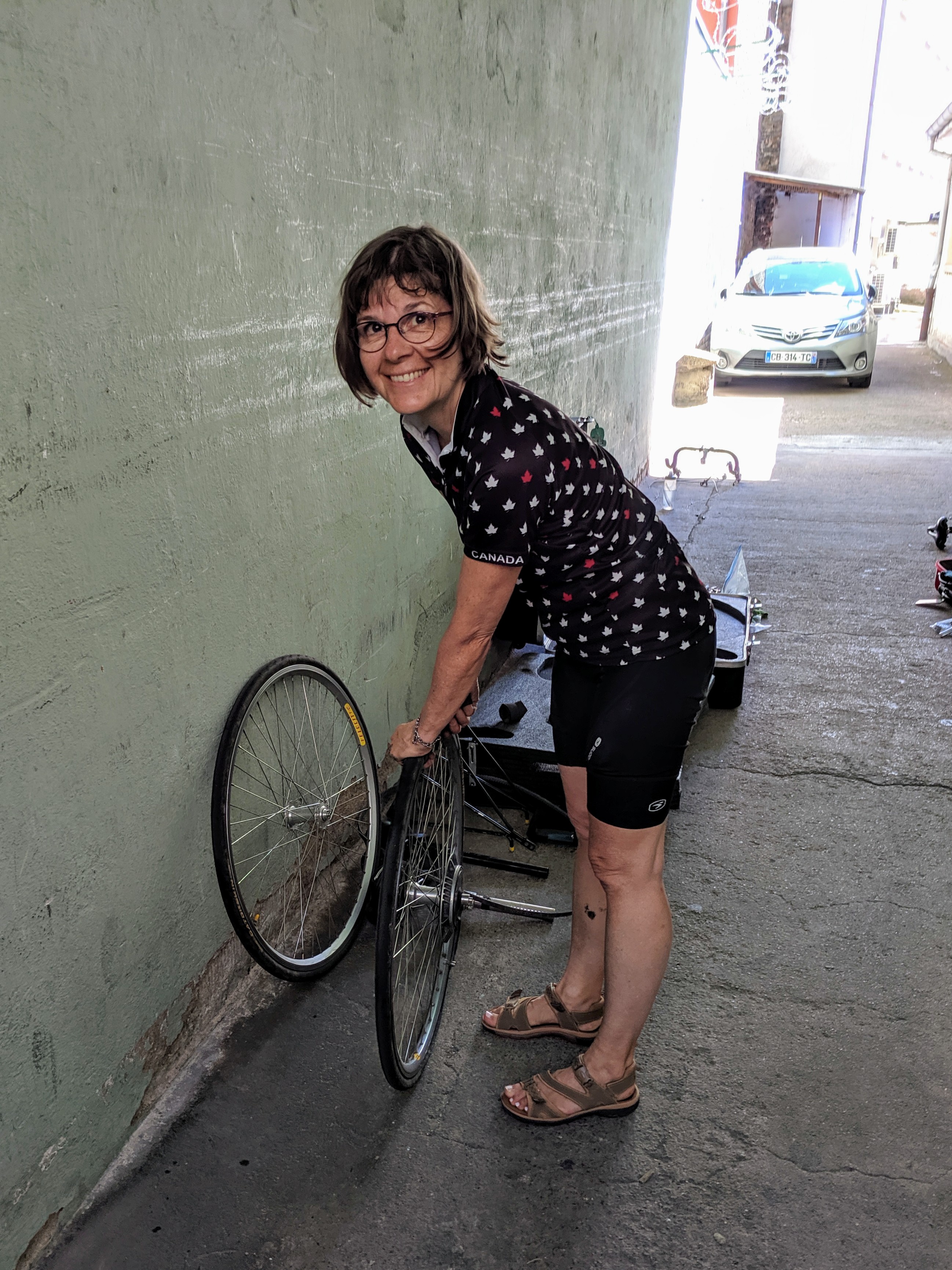
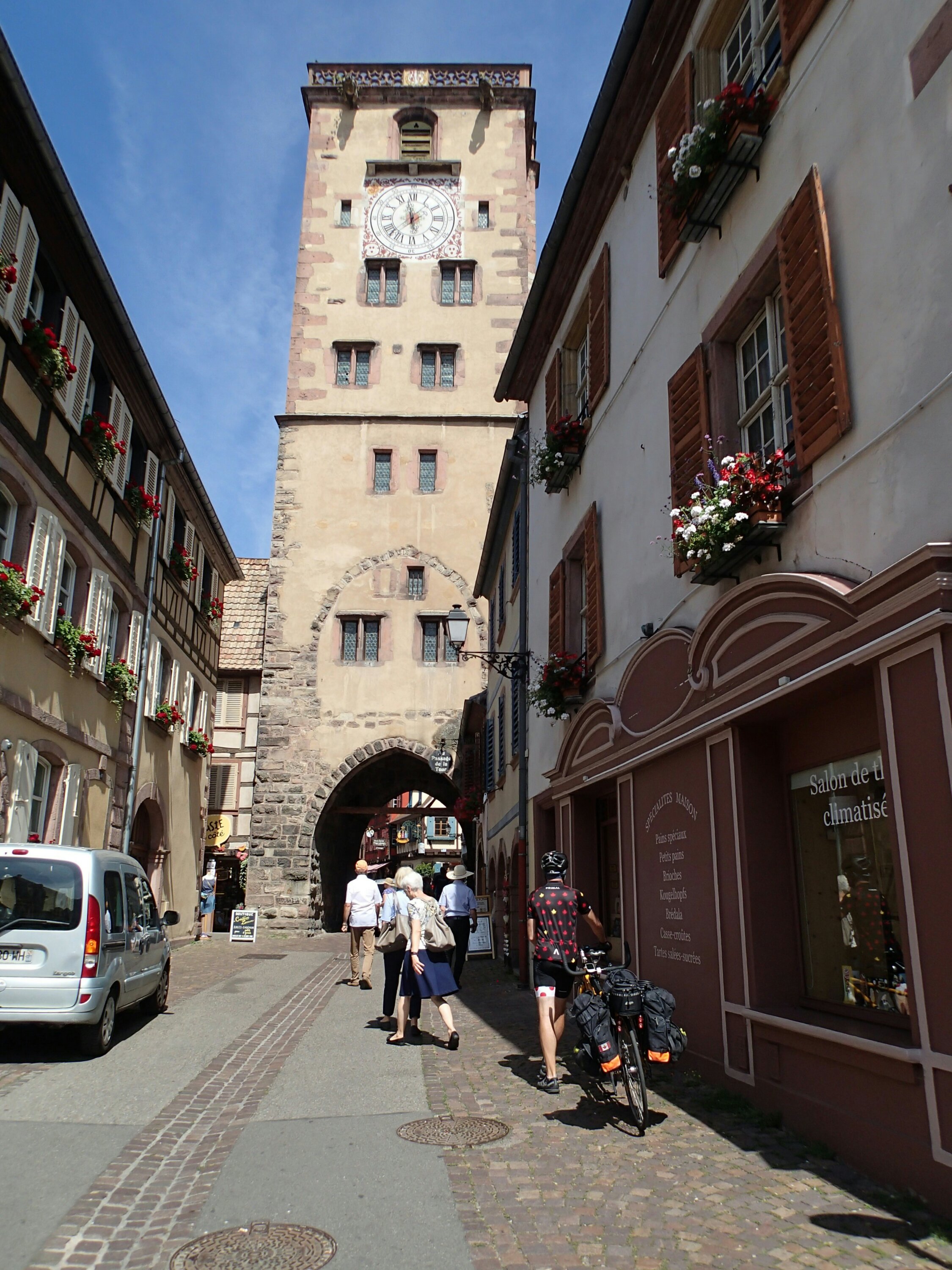
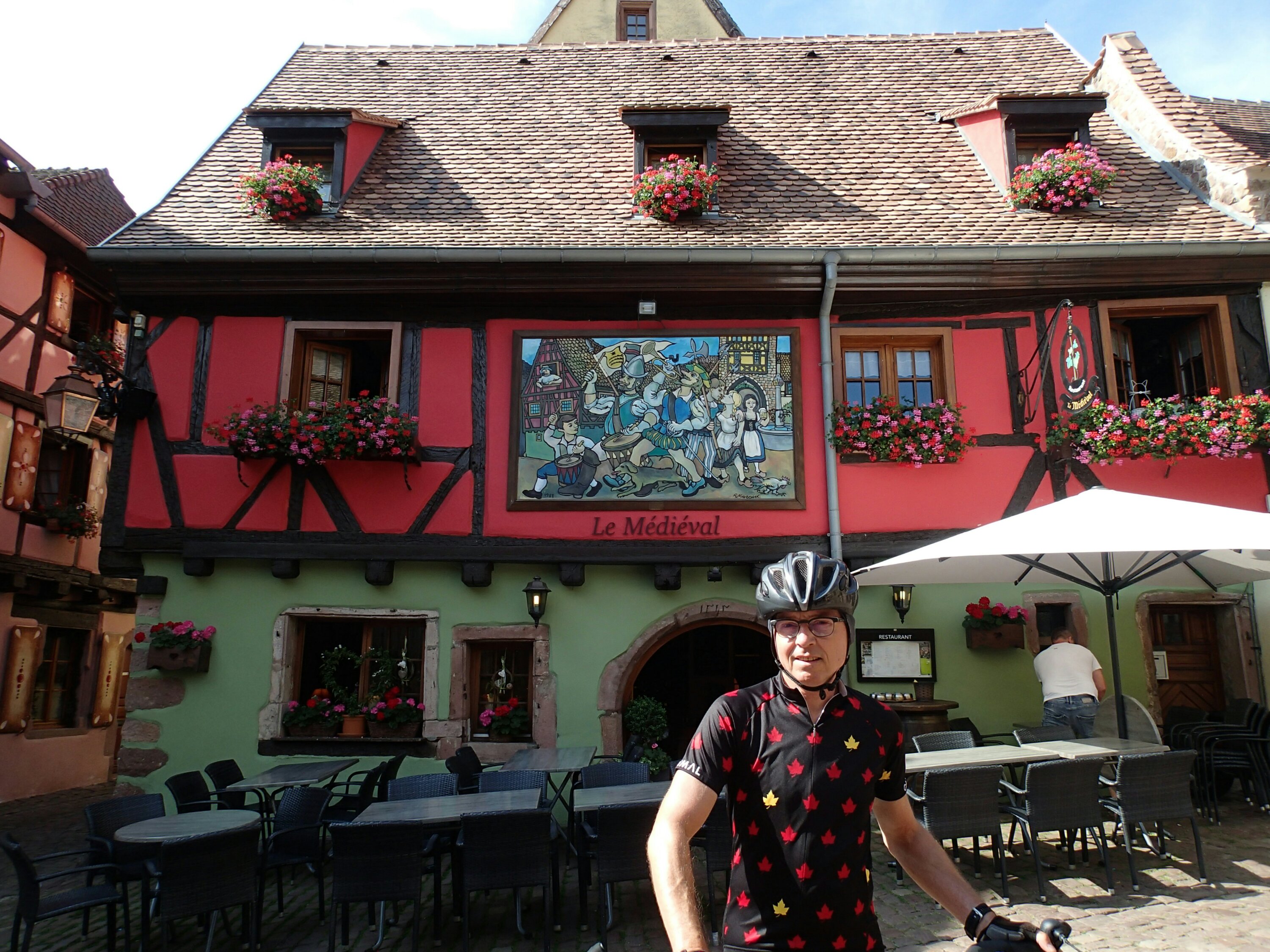
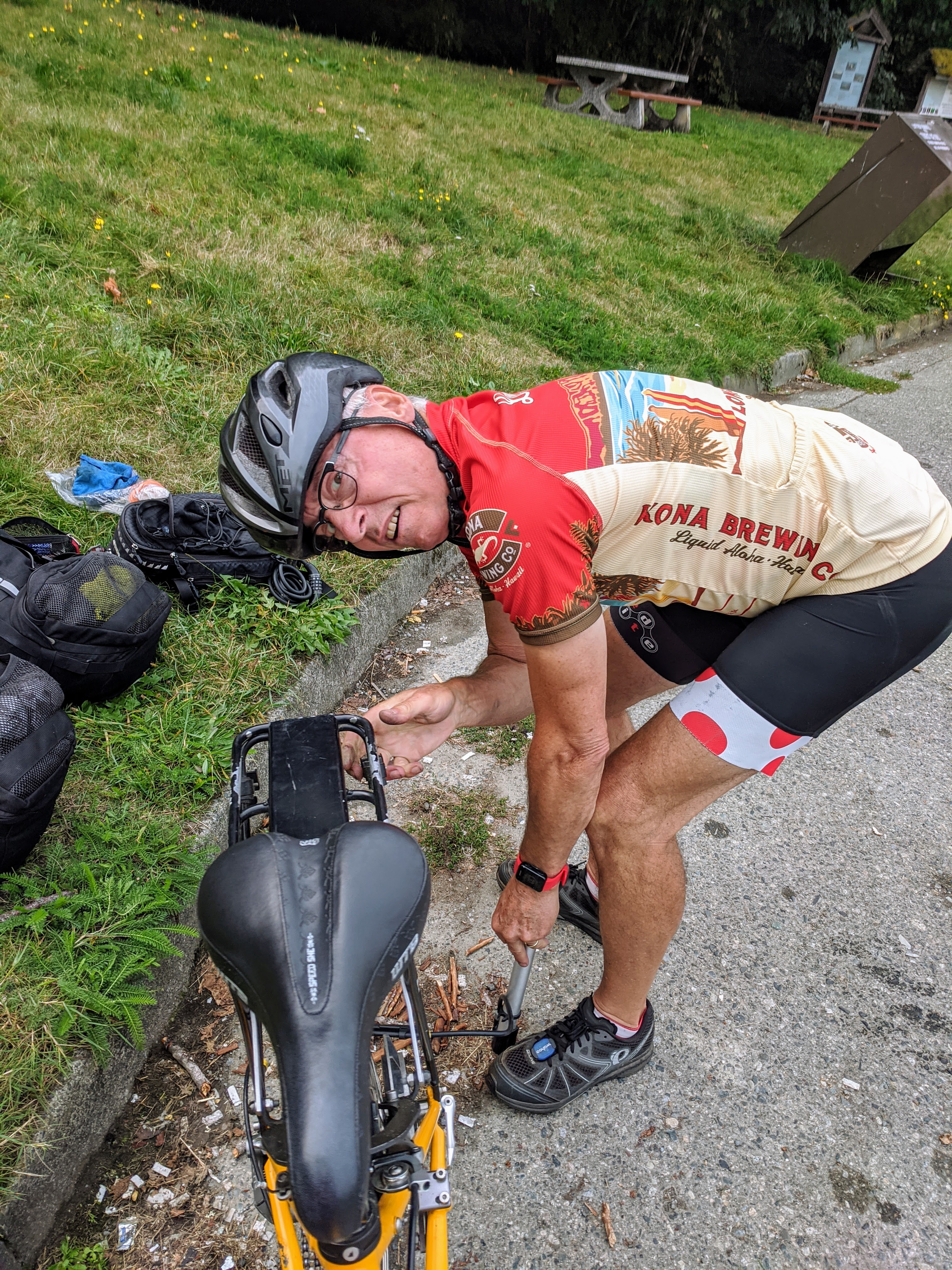
The ride from Qualicum to Nanaimo was not as pleasant as other rides as we had to be on the main divided highway for quite awhile and people drive much faster than the 90km/hr limit, there were many large trucks and the shoulder wasn’t that generous. The side roads were much quieter and scenic however it was hillier there, guess you can’t have everything. We also had our first flat of the trip. We always seem to have flats on the back unfortunately which involves unloading all baggage as well. Luckily we travel with a handy bike mechanic guy.

Nanaimo harbour

We spent just one night in Nanaimo so that we could visit our friends Anne and Robert on Protection Island. We were able to leave our bike and bags at the hotel (tall building just behind George) while we visited them. Protection Island is a small island a 10 minute boat ride from the Nanaimo harbor and is part of the city of Nanaimo. It used to be a coal mining site and later was transformed into a small island community with permanent residents and people with summer homes. The main mode of transportation on the island is by golf cart.

Harbour with the Bastion and Bastion hotel in the background, also smoke
Waitin’ for the ferry to Protection Island
Coming in to the Dinghy Dock Pub and ferry terminal on Protection Island
The crew on Protection Island, and our ferry back to Nanaimo

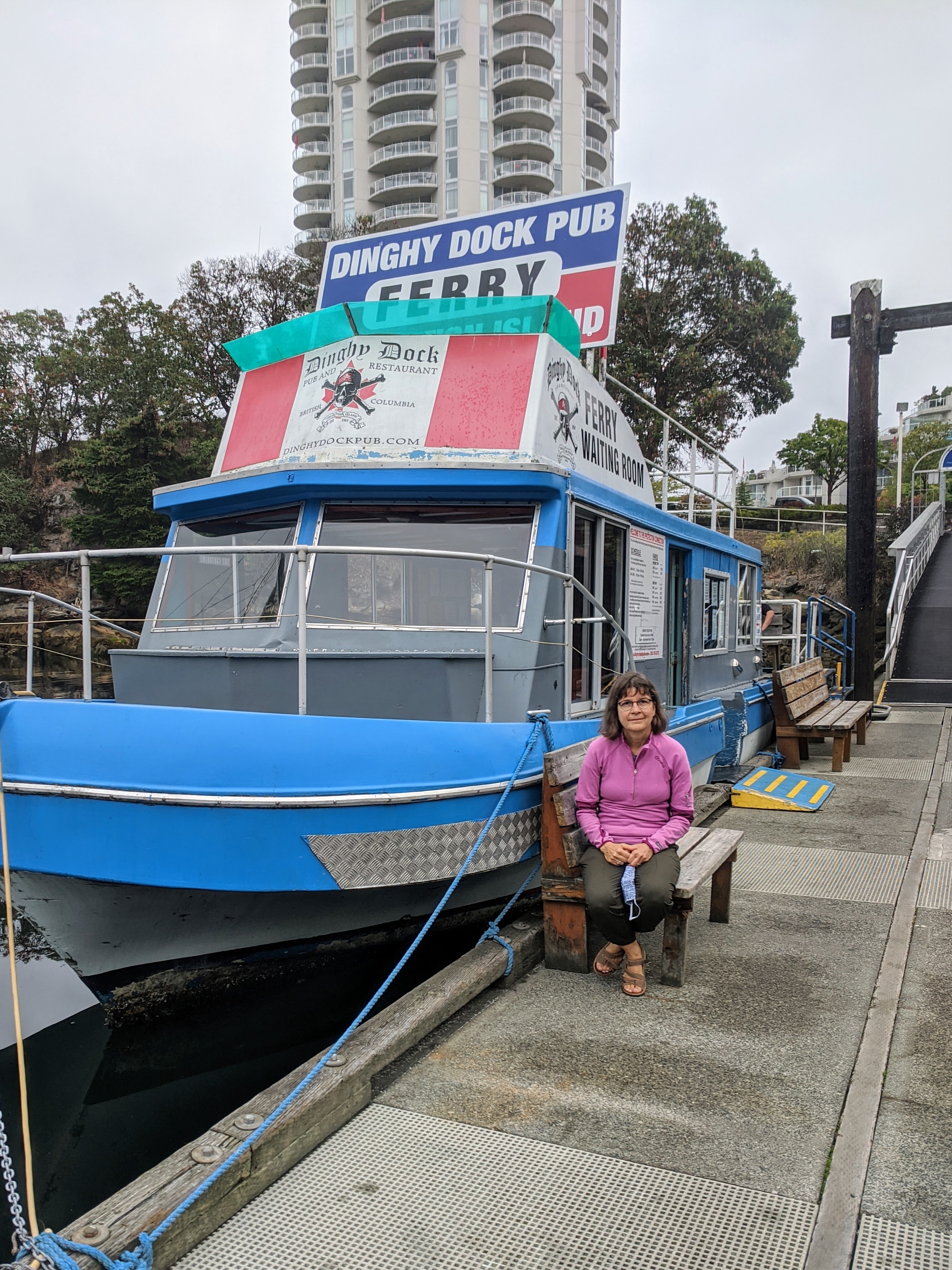
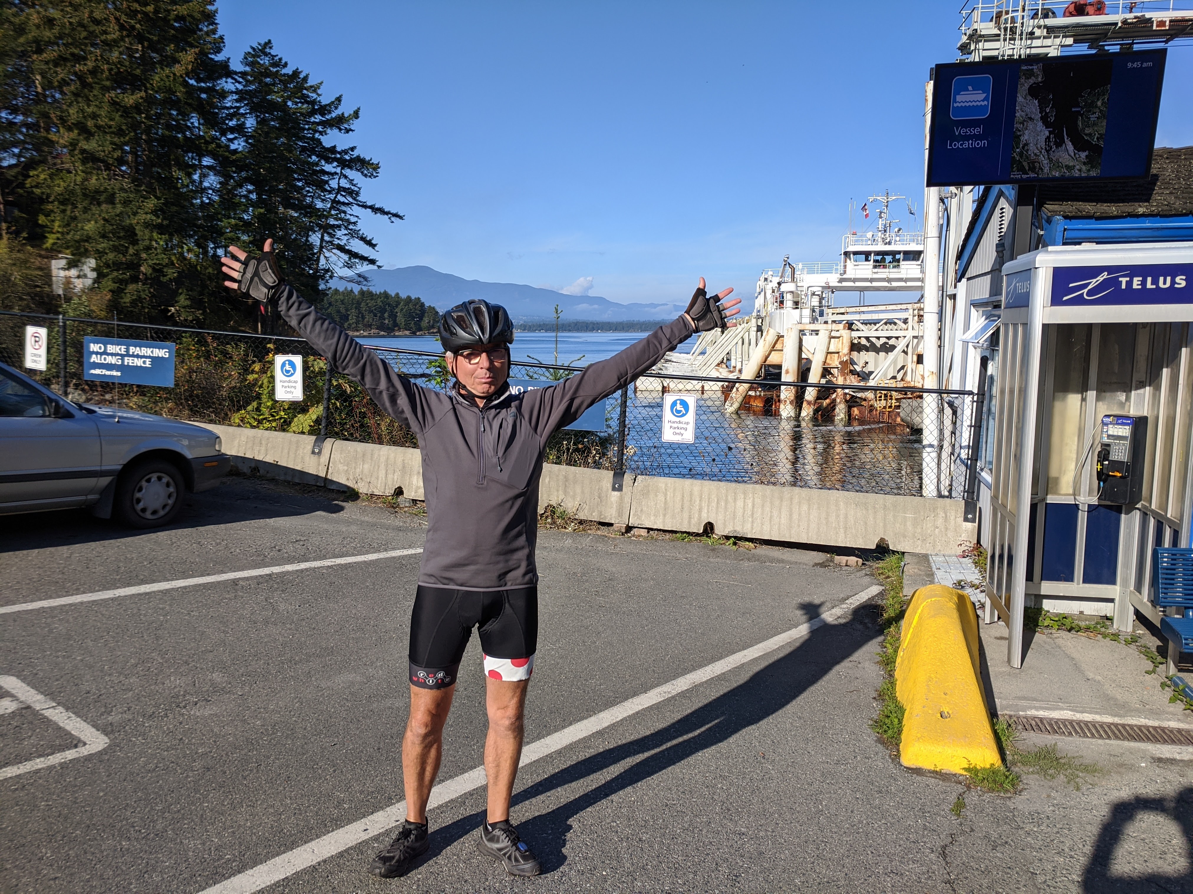
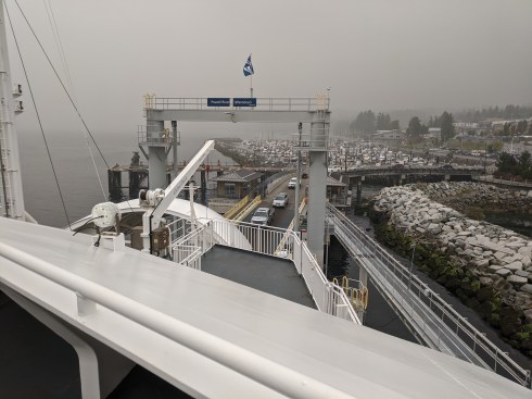
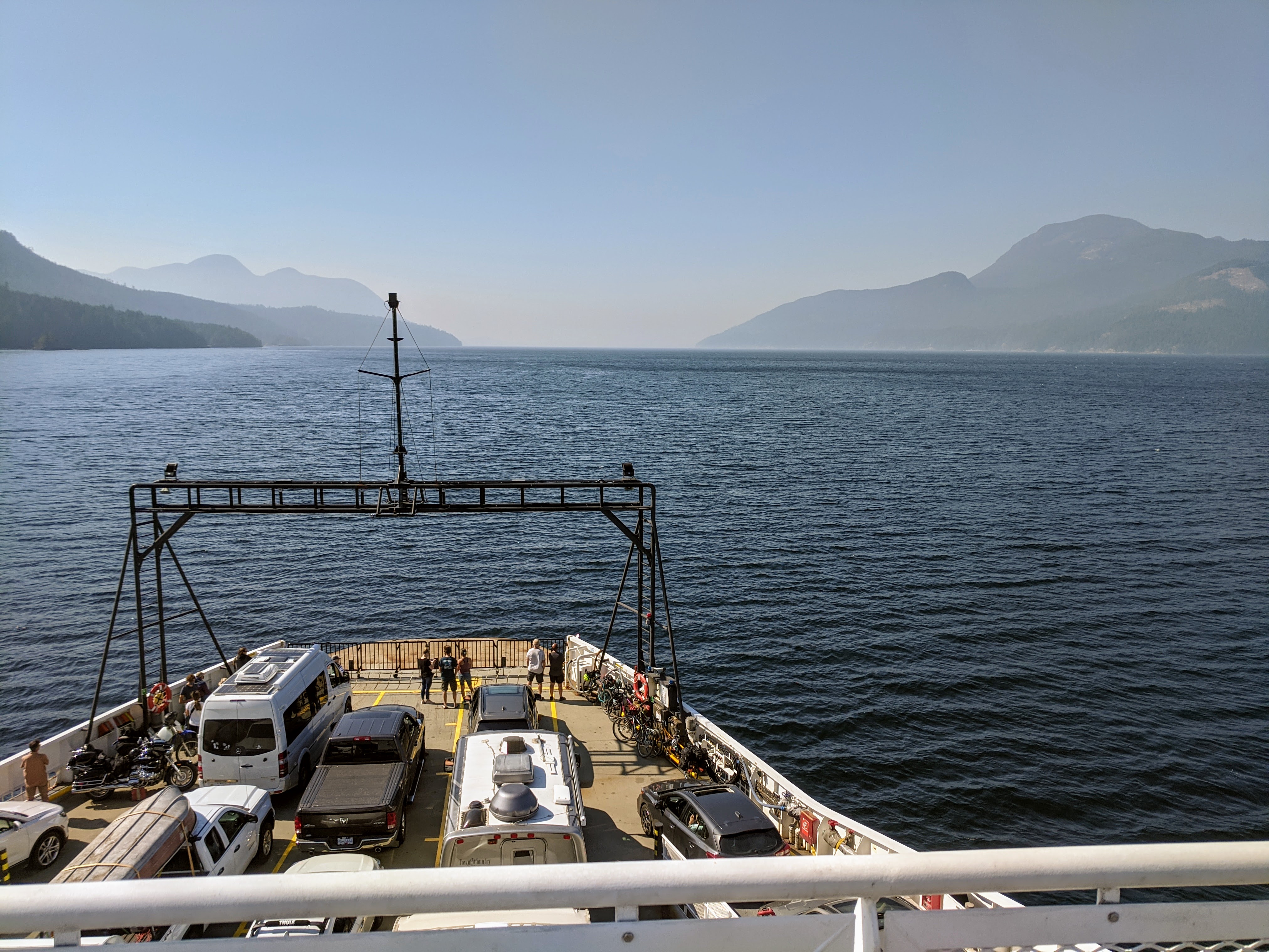
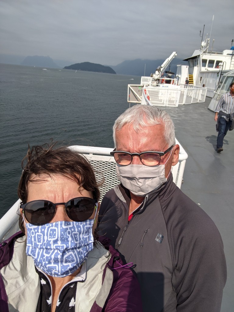
After a lovely visit, lunch and a walk around the island we were personally escorted back to Nanaimo by Robert and Anne. Once back we retrieved our bike and bags and went to catch the Gabriola ferry just a short distance away. It was a bit drippy just as we arrived back in Nanaimo and getting on the ferry but it didn’t last long. It has been difficult to determine if the sky is cloudy or smoky so the rain can be surprising.

Gabriola ferry arriving
We hit the date correctly to explore the Saturday Market

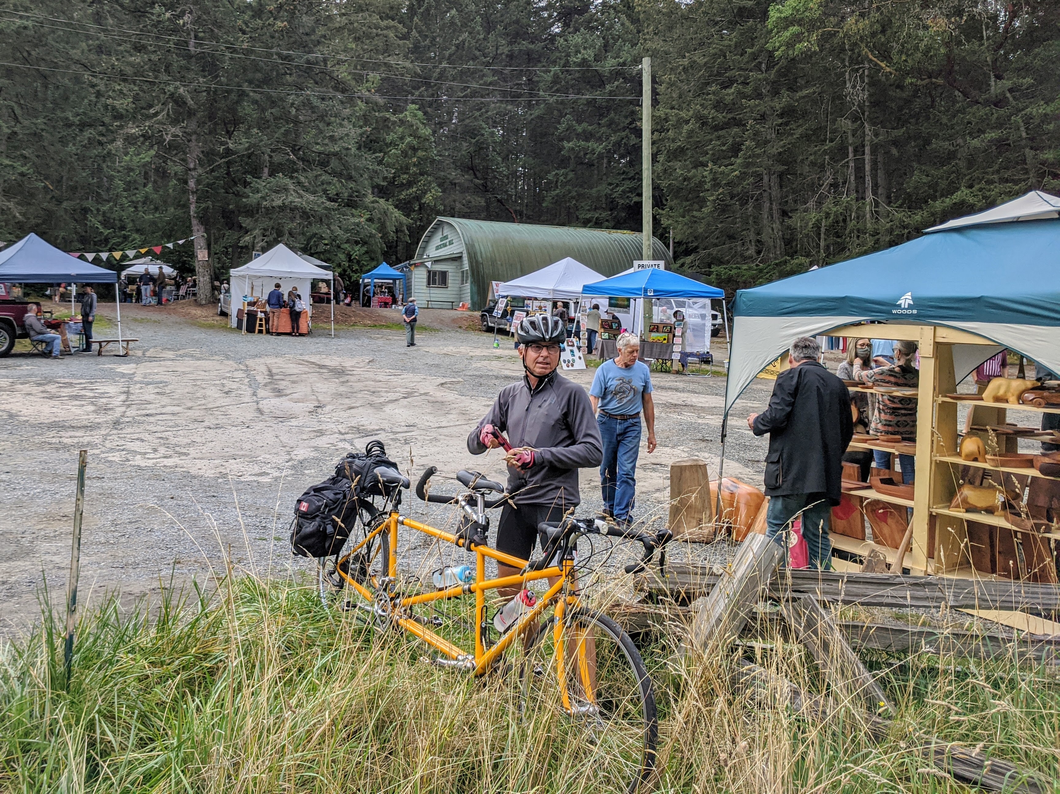
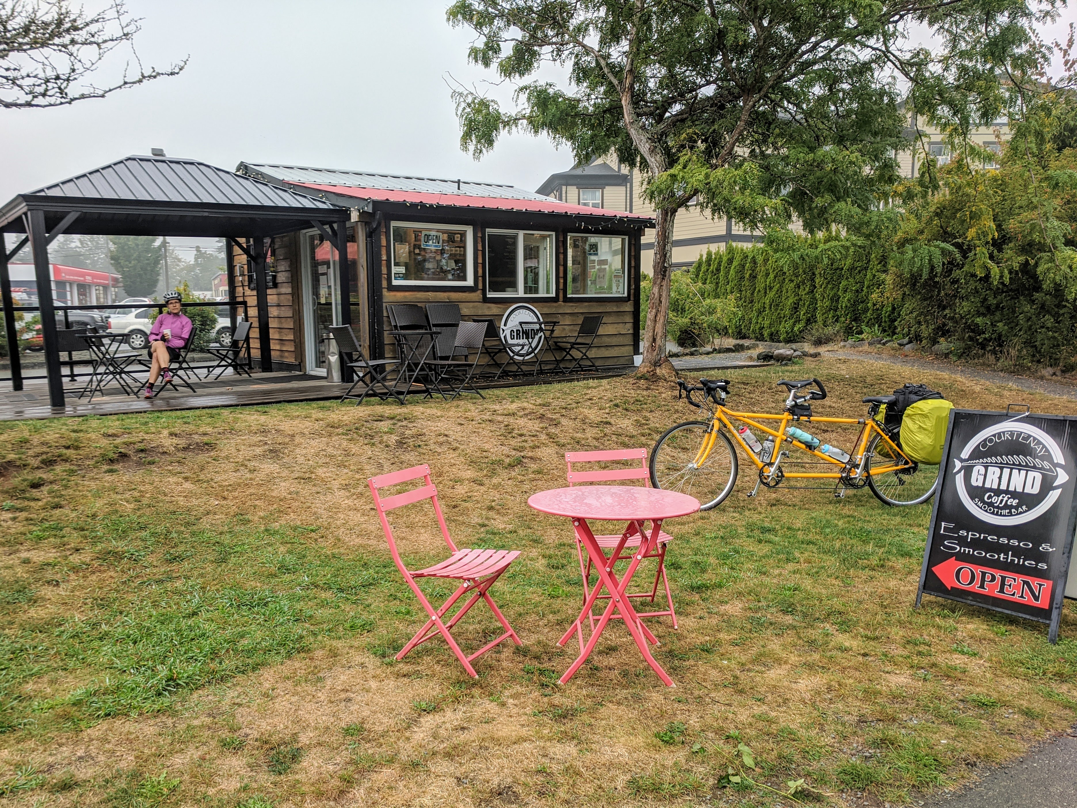
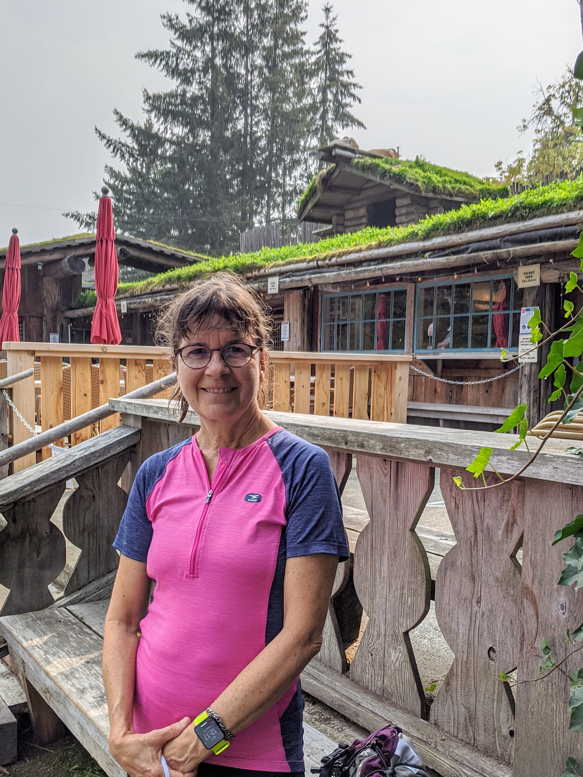
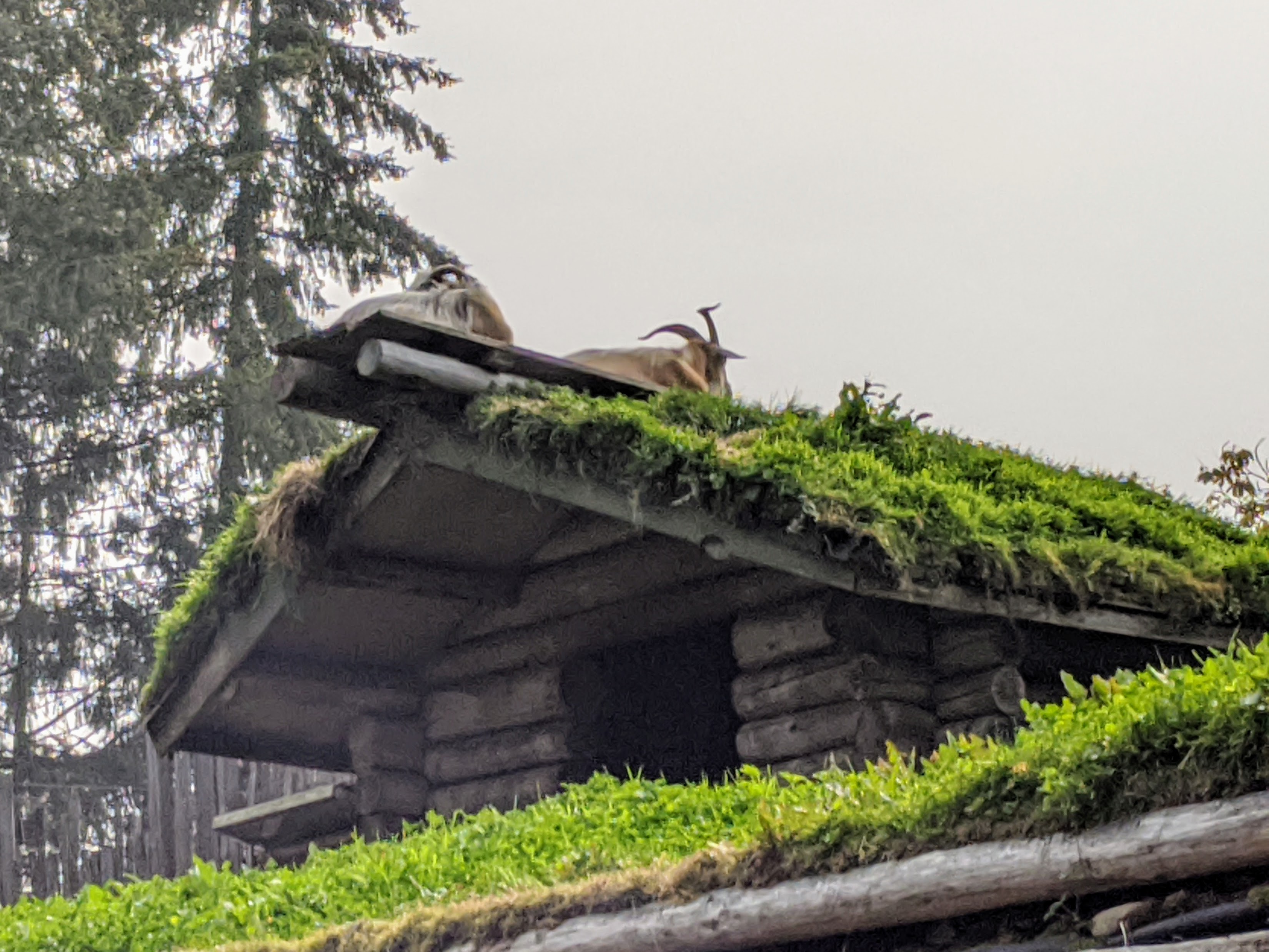
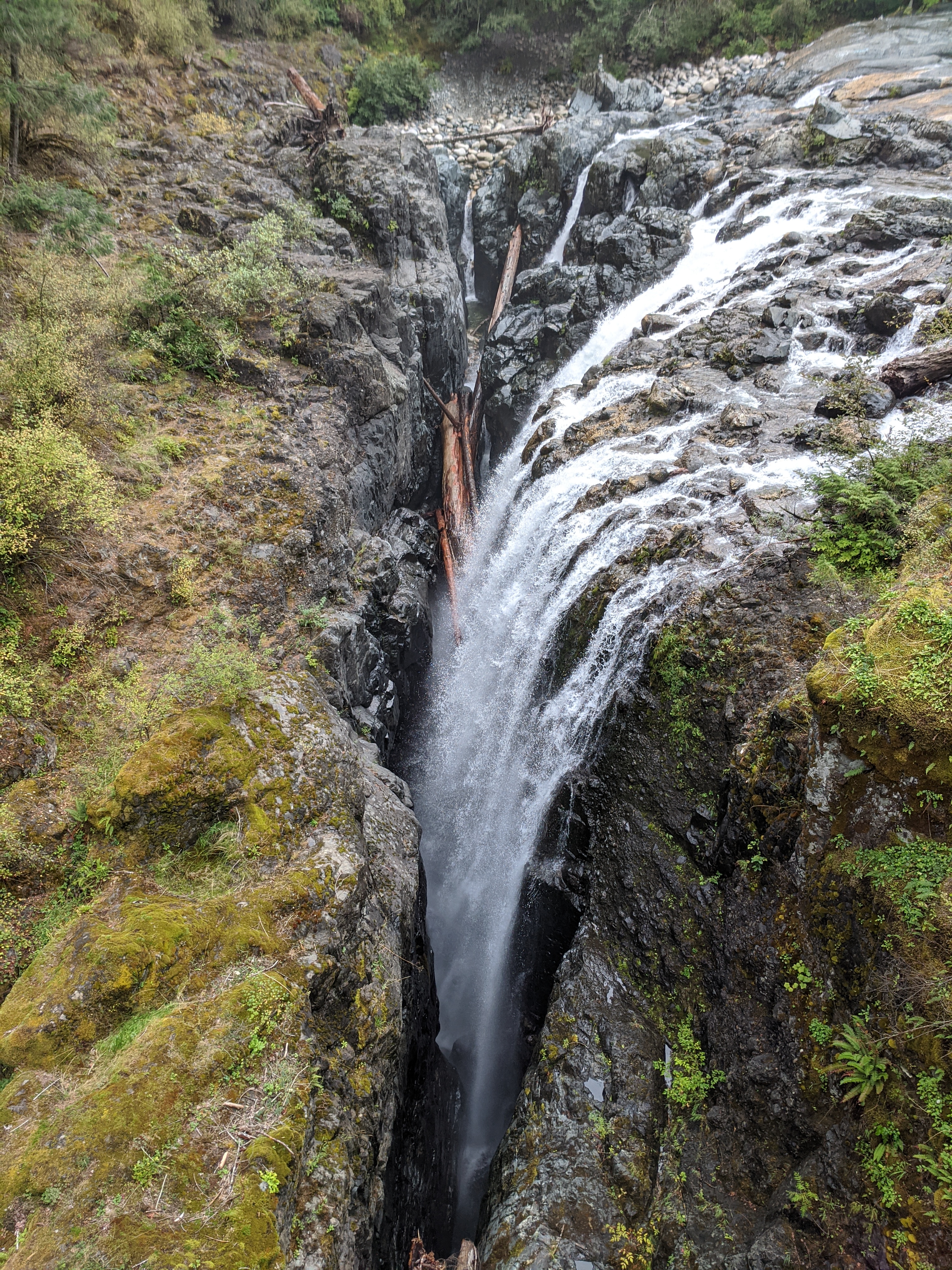
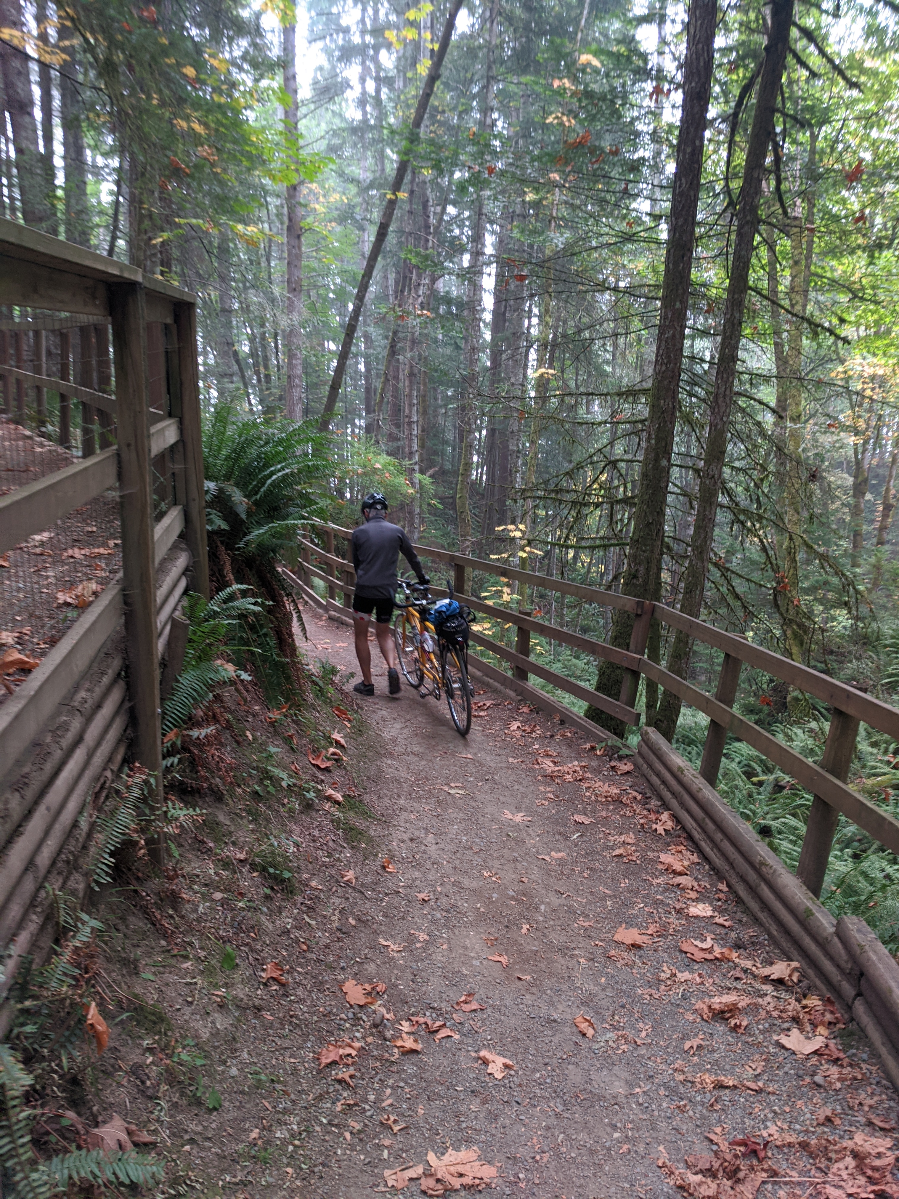
We spent the day we had on Gabriola riding completely around the island and seeing the sights. We started with the market where we found plenty of arts/crafts and fresh local produce. There are many small farms on the island that produce fruit, vegetables, flowers, meats and eggs. There were also a few fishermen selling fresh salmon at the market. Unfortunately we don’t often have a kitchen in our accomodations to try cooking some of the fresh foods.

The sole bike shop on Gabriola where we purchased a spare tube from el Presidente

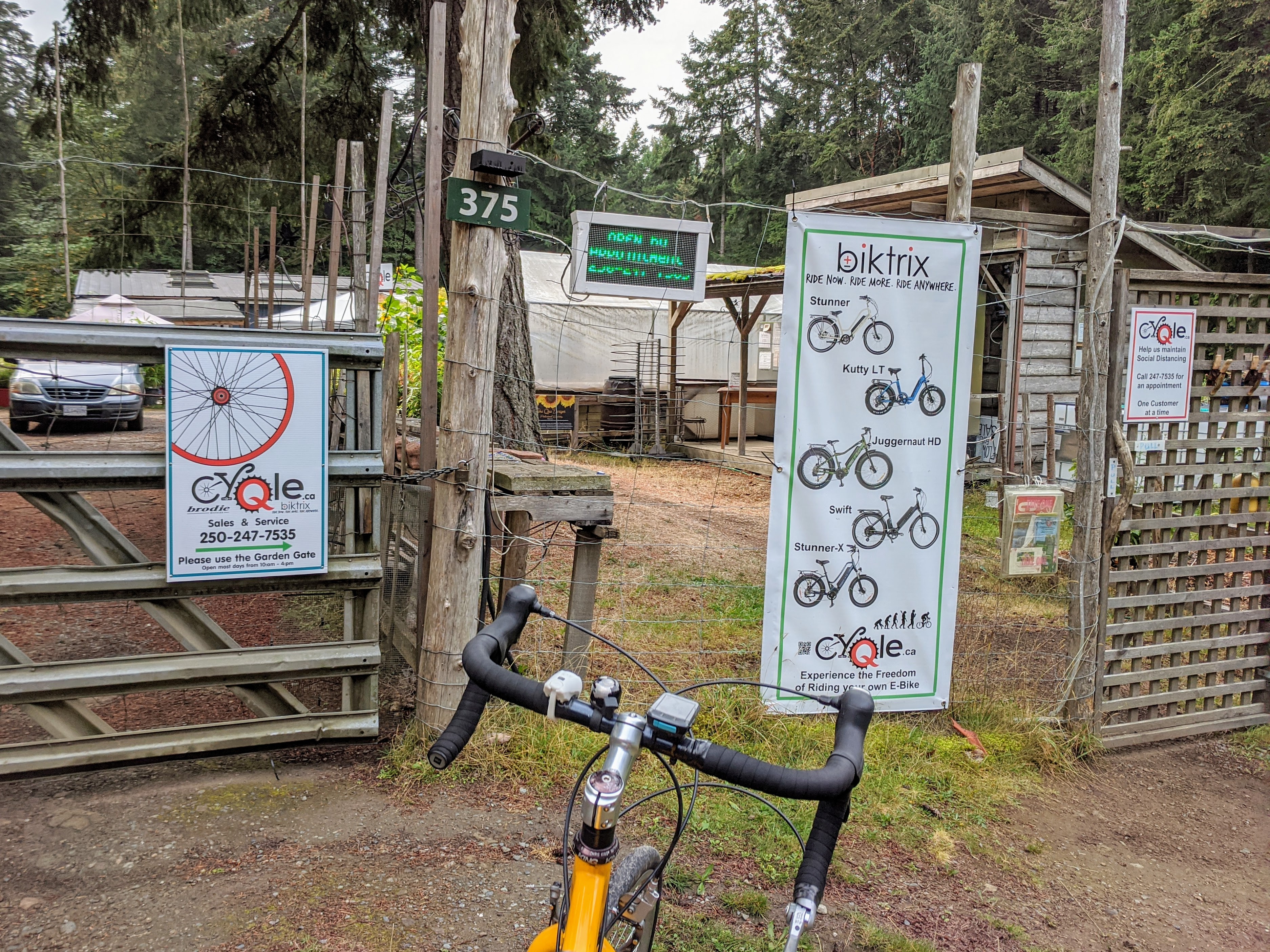
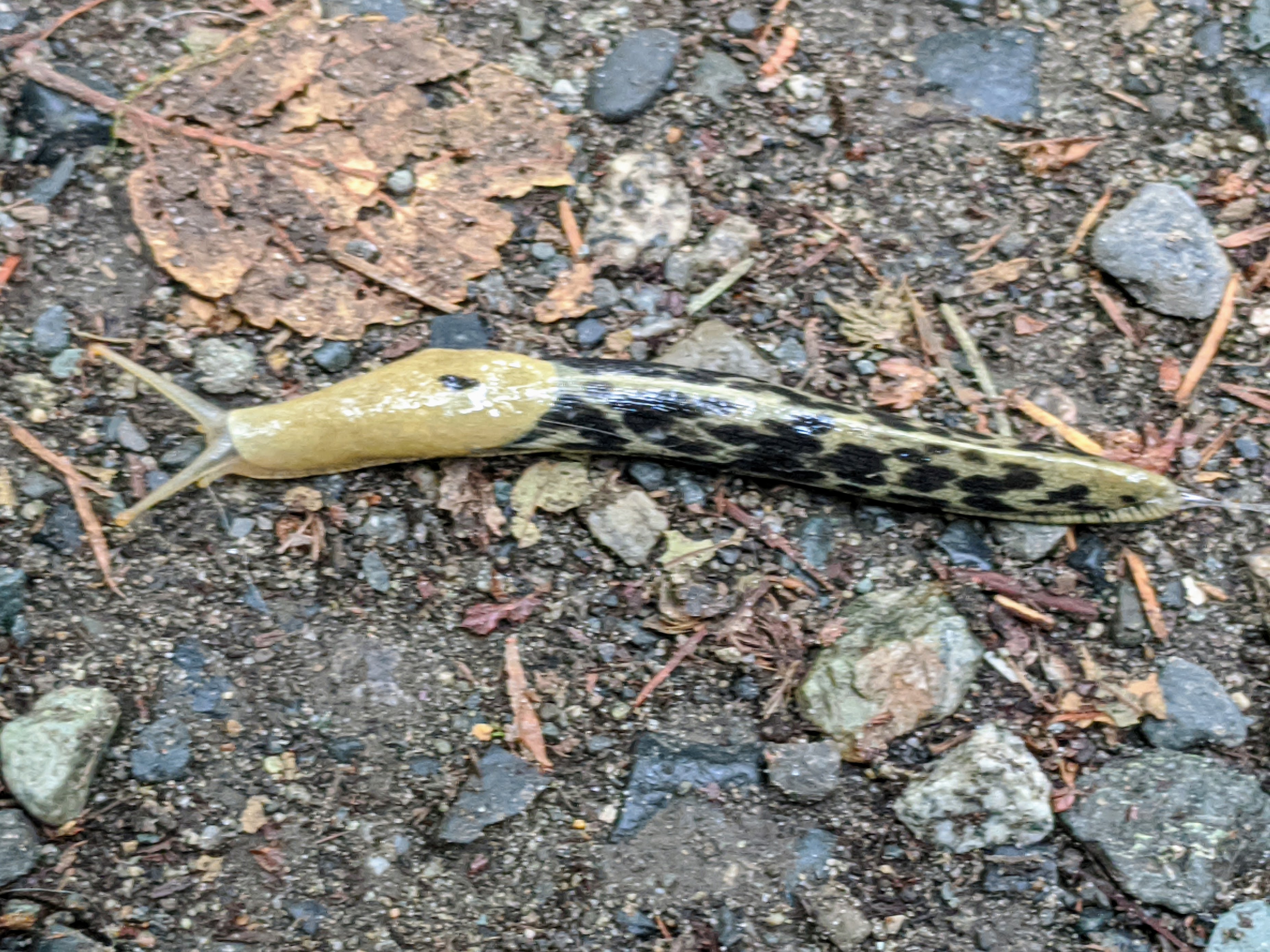
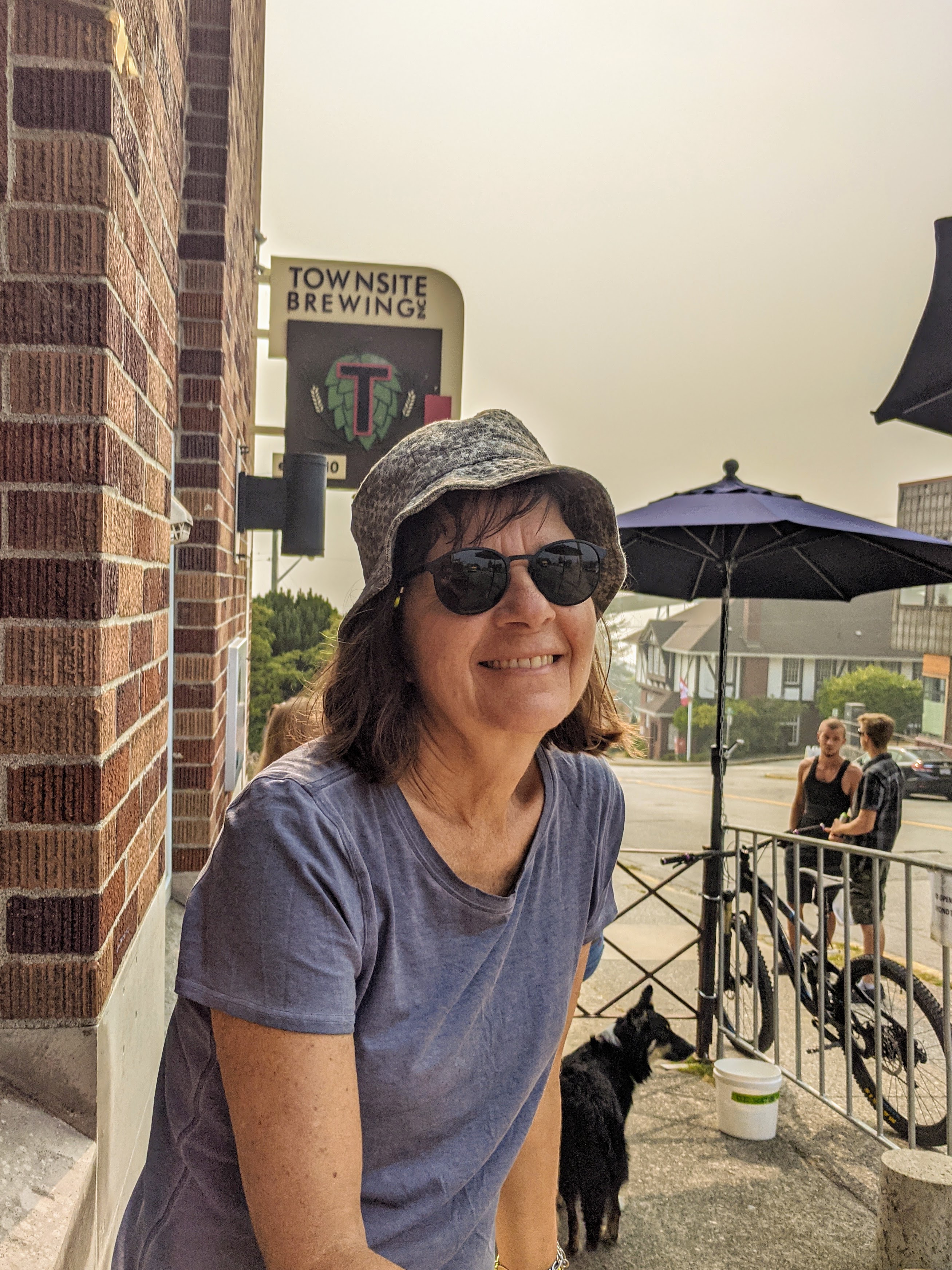
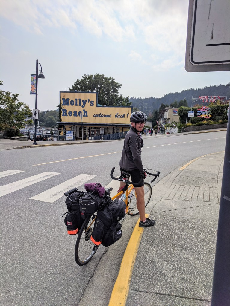
While on our tour of Gabriola we stopped by the only bike shop to buy a spare tube to replace the one which gave us the flat on the ride down from Qualicum. There was a “by appt only” sign out but the proprietor came out to greet us with a smile and talking about ‘two unicorns’. He doesn’t see many tandems and ours was the second that week which was as rare as unicorns apparently. He is mostly into selling and servicing ebikes on island and doing well at it as witnessed by the fair number we had seen. Anyway we got our spare tube and away we went. By the way he has an ‘el presidente’ sign above his office that his wife presented him with.

Off Berry Point on Gabriola

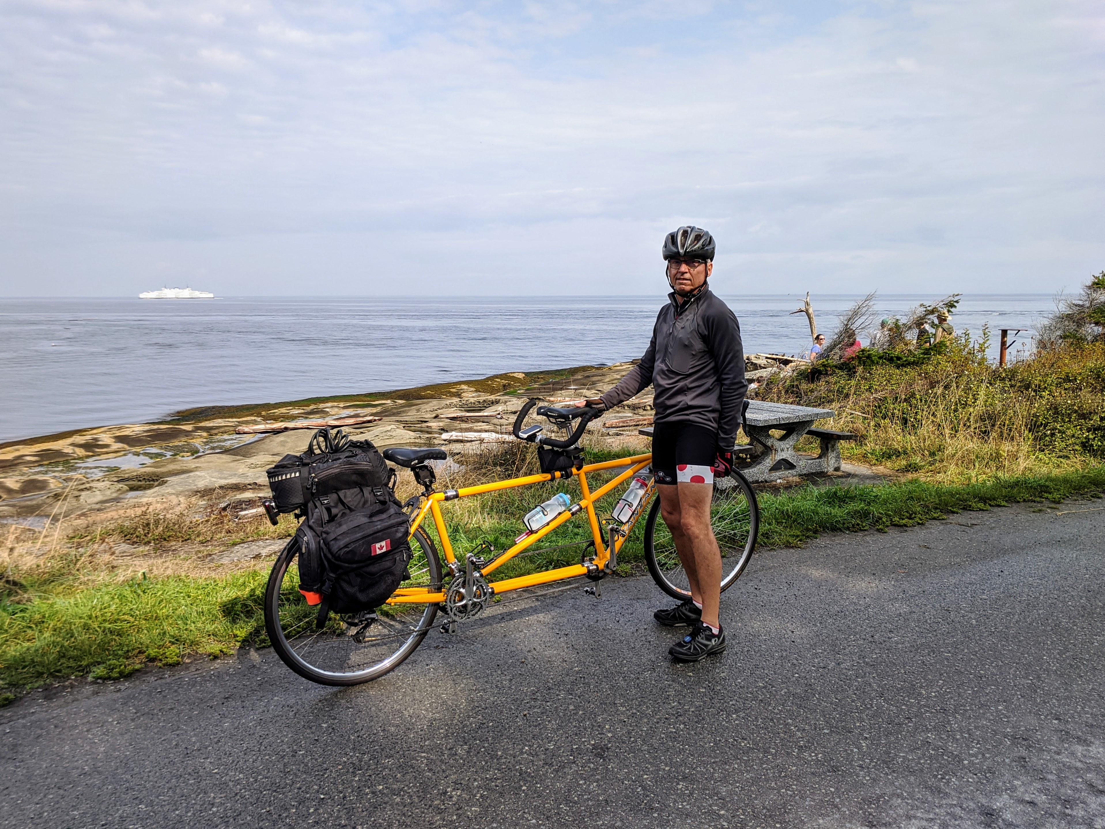
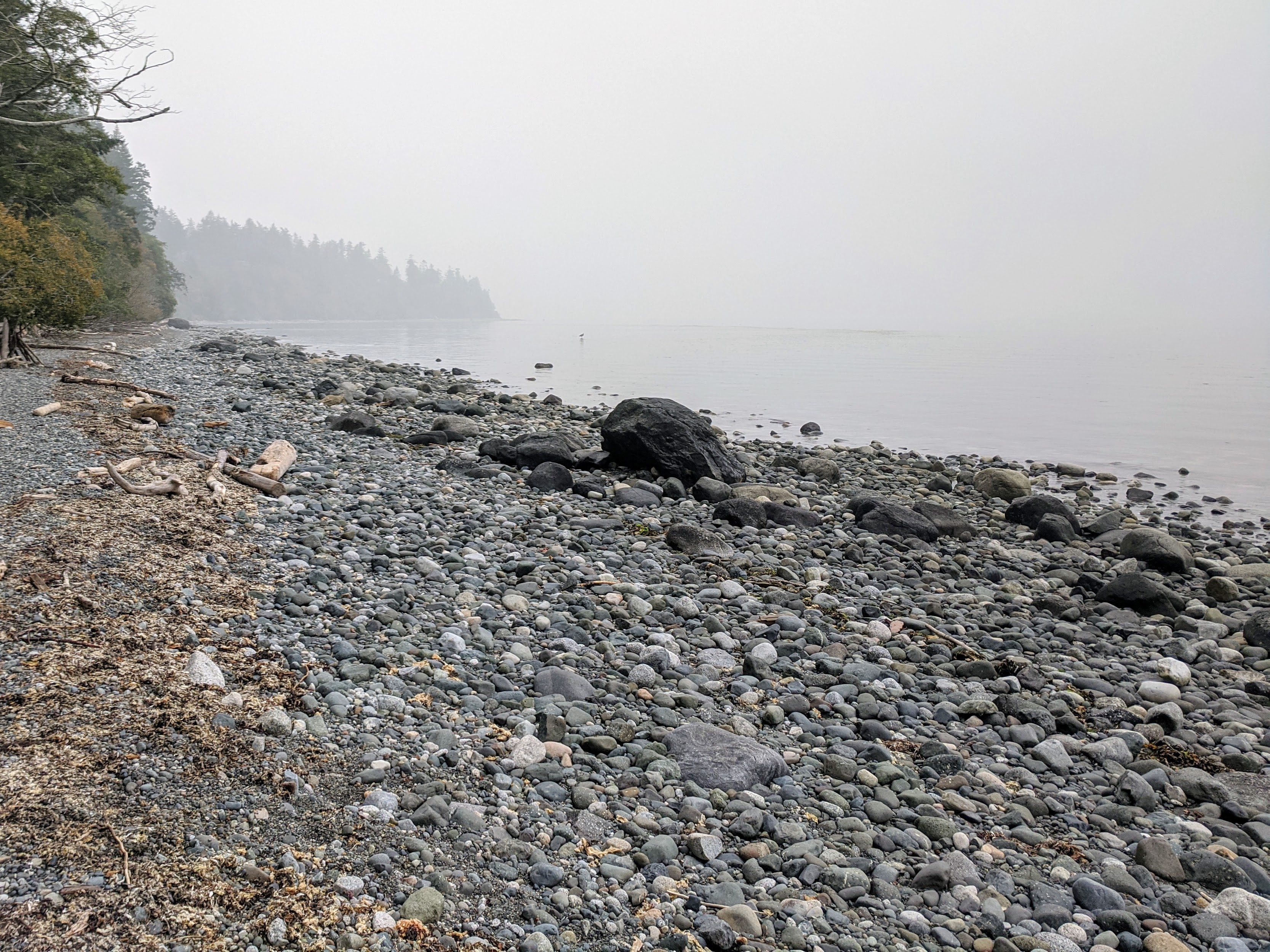
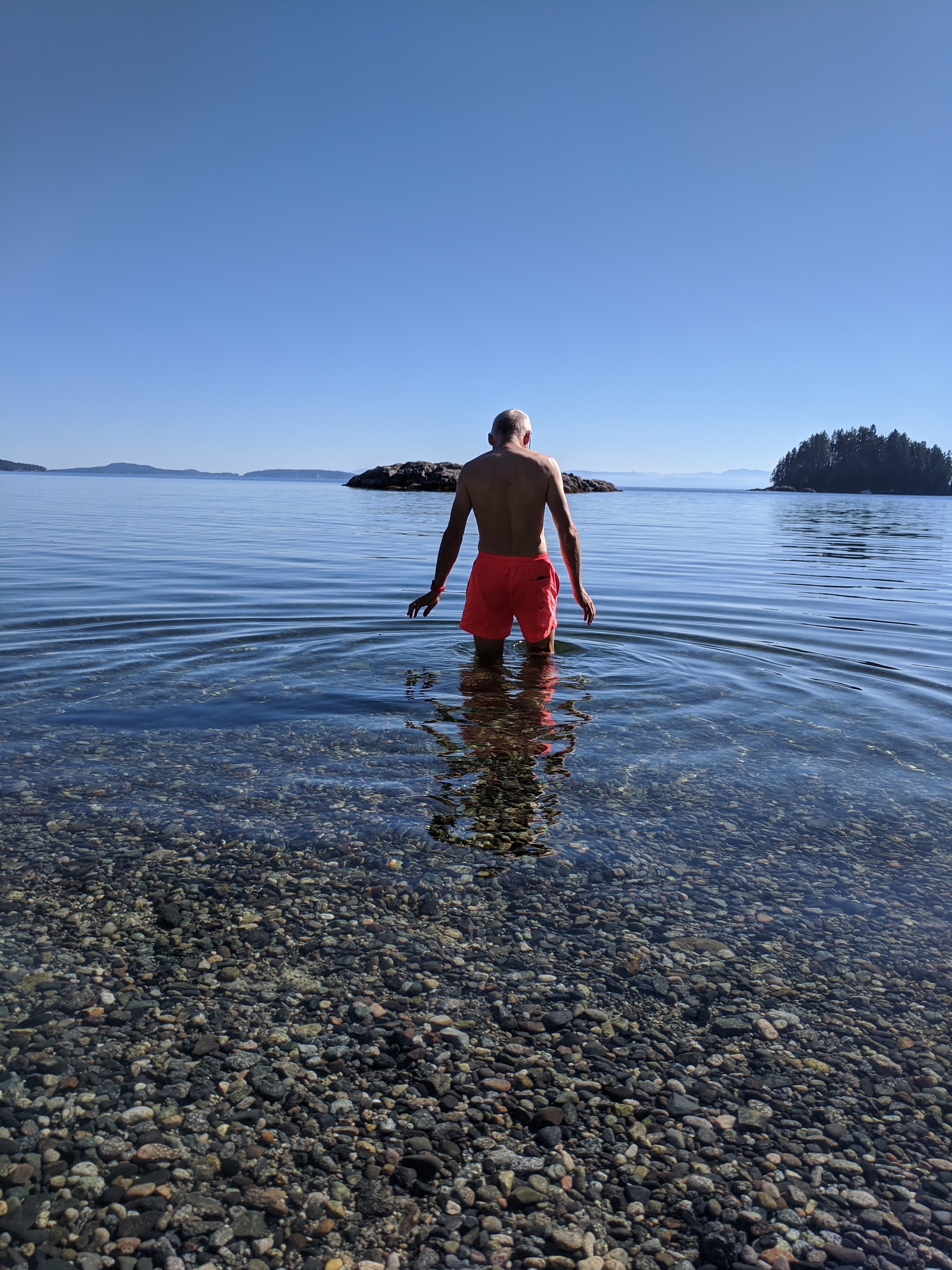
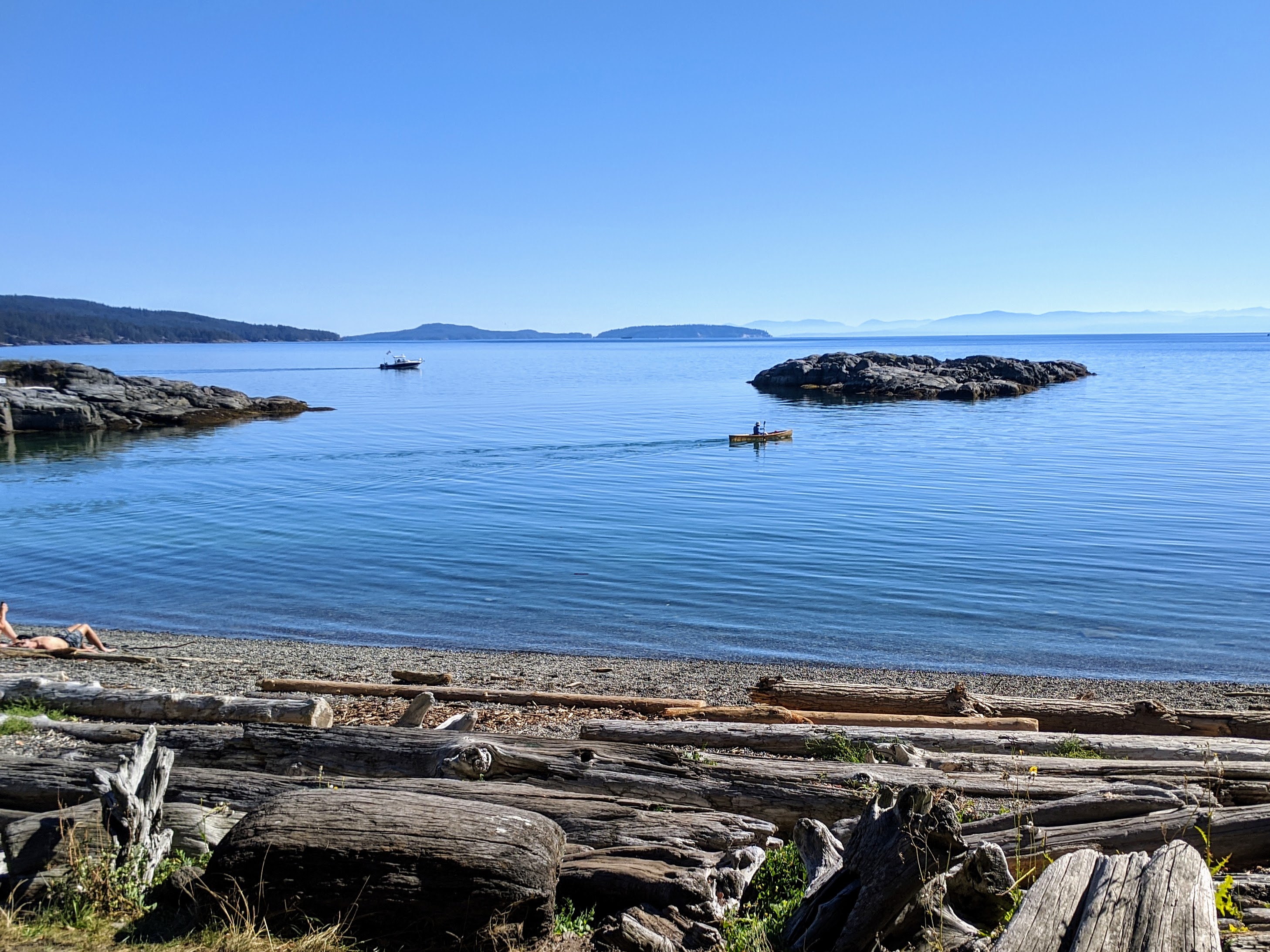
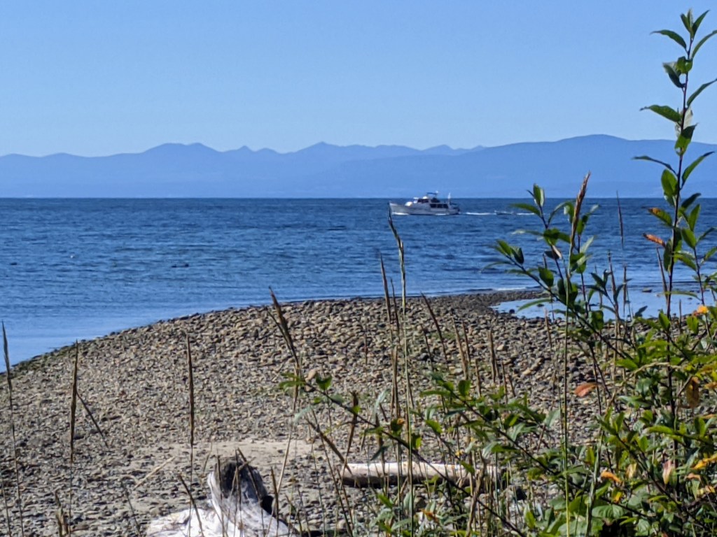
Our B&B host Nancy encouraged us to ride to Berry point to see seals and maybe whales. We managed to see seals but no whales yet. However the smoke was clearing, you can see the ferry in the background. We even had sunny skies for part of the day, the first in a week.

At the Malaspina Galleries where the sea has eroded and undercut the rocky coastline
Sheltering in the undercut
A protected old growth forest area off North Road on Gabriola.

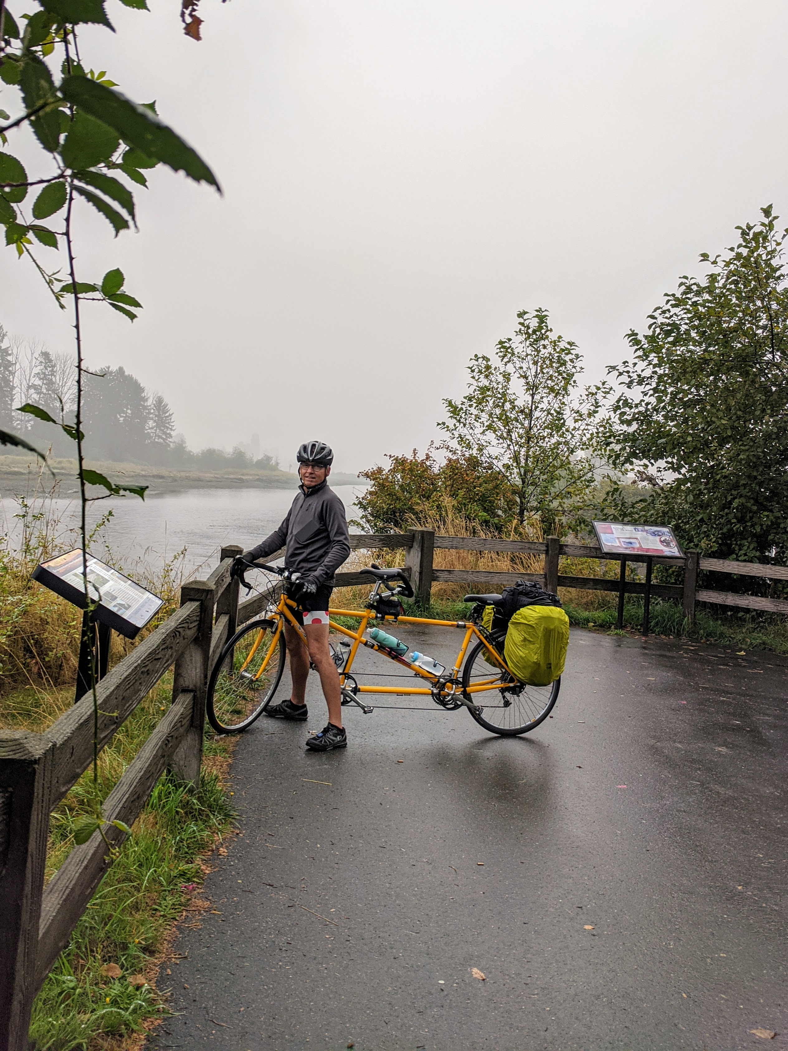
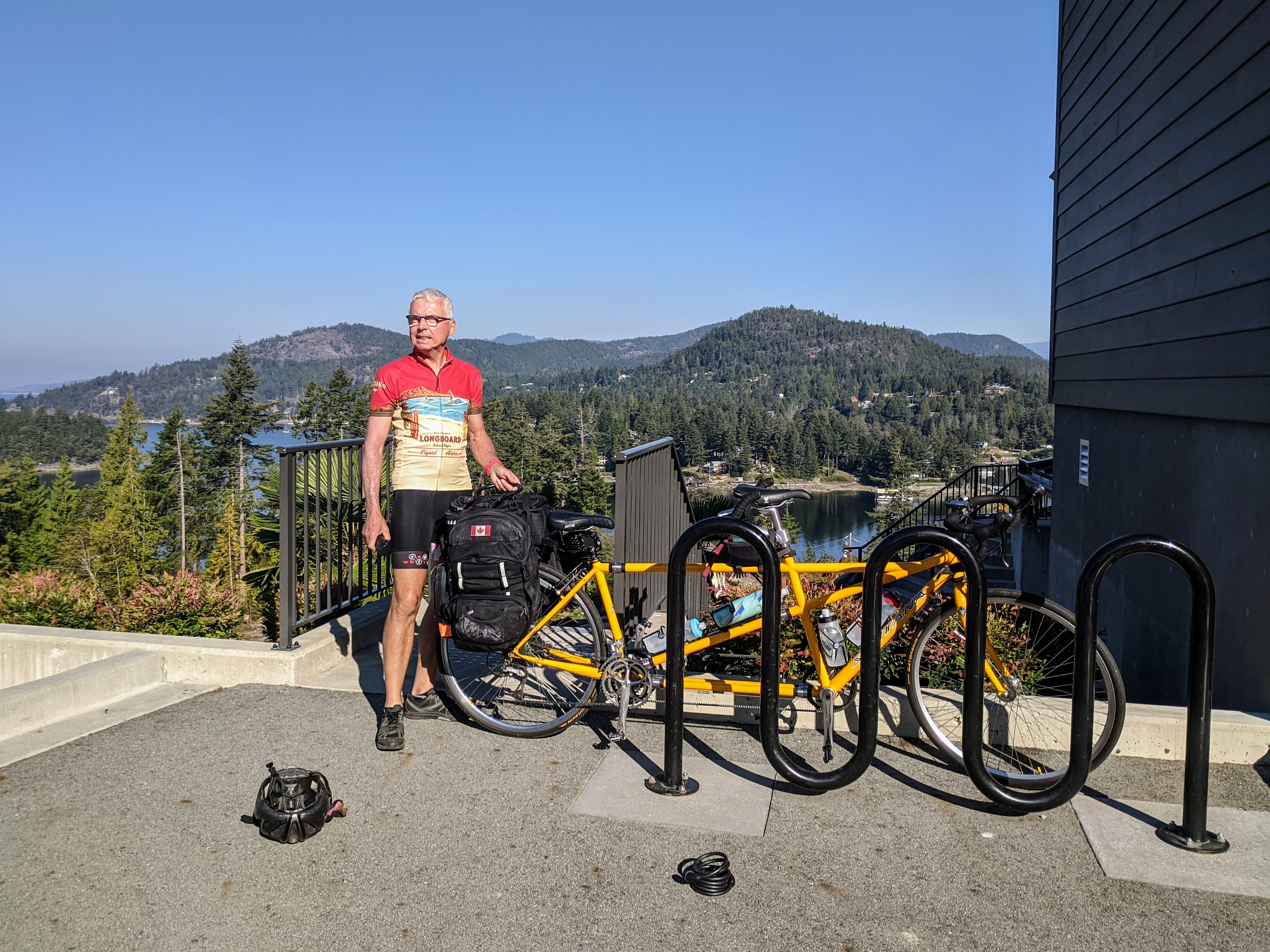
Most of the day on Gabriola was pleasant with clouds and sun but we did get rained on once for about 10 minutes. So far during this trip we haven’t been hampered too much by rain which is lucky considering we are in a rain forest.

Blue sky returns just in time for our departure from Gabriola the next morning, smoke has cleared! Off to Saltspring Island next.

Qualicum Beach

16 Sep

We left Comox with some trepidation since when we opened the blinds in the morning it was clearly very wet outside. However nothing was coming down; it was already on the ground so we resigned ourselves to the spray from the road. It could be worse. Visibility was poor but this time it seemed to be mostly fog and not smoke.

We zipped along south on the old highway which was moderately busy but had a decent shoulder for the most part, and found the motel we would stay at for two nights. The manager let me use his hose to wash the road grime off the bike while Tara washed the road grime off our clothes.

We walked to find groceries, about 3km and up hill since we are staying at beach level. You could only see about 100m out to sea with the fog/smoke and no seals/whales to be found. Next door to the motel was a Schnitzel restaurant so schnitzel, red cabbage, and roast potatoes it was (or spaetzel for some) for dinner.

The next day we set a course for Coombs where the goats are still on the roof since when our family was there nearly 25 years ago. Many memories. We then carried on to Englishman River falls with only one minor GPS mishap to befuddle us. The falls were quite spectacular even without the high water levels seen in the spring and one wonders how the salmon go upstream at places like this.

It looks wet ’cause it is wet, but only on the road, not falling from above when we rode
Coffee on the way south from Courtenay
Us and goats, all very famous
Fond memories from being here with the ‘kids’ ~27(?) years ago
Yes, another goat picture
Pretty sights at Englishman River falls
More wildlife, must be a leopard slug, but just a guess
The Upper Falls; someone fish get through this to spawn?
Yet more wildlife – but I want seals and whales!

Courtenay – Comox

14 Sep
Ferry #3, Powell River to Comox Sept 13 in heavy smoke from US fires.

We were disappointed by this smoky development as it is common to see whales (orcas and humpbacks) and dolphins in this area. During the crossing you couldn’t see any land either and you should be able to see all the surrounding islands. In addition to being smoky the temperature dropped significantly as the sun wasn’t visible let alone providing heat.

We found our way to the B&B in Comox, not too far from the ferry terminal. It is situated overlooking an estuary, hence the name Estuary House. You can see and hear geese and ducks often but unfortunately there is also a busy road right in front, so we hear that too. However it is comfortable and has a good breakfast included, the first we’ve had this trip. (another big difference from travel in Europe) We walked into Courtenay the first evening and found a delicious Greek supper. Walking home was a bit uncomfortable along that busy road after dark and no sidewalk.

The next morning we picked 2 local attractions to visit: Nymph Falls where we would hopefully see some salmon running and Seal Bay on the ocean where we hopefully would see seals. The smoke remained fairly thick today but slightly improved from the previous day. However it was still cool out with no sun to warm us, glad we brought along Canadian cycling gear.

Full gloves on but still numb fingers that have some trouble with the finer manoevers needed when shifting gears (GG version of playing piano).

We had some trouble finding the falls as we experienced the classsic problem with having 2 GPS units telling us 2 different ways to go. The official Garmin which is operated by the official navigator/stoker in the back kept telling us to turn around while the small unofficial unit in front led us down a forest path complete with roots, large rocks and finally a barricade saying no entry. At that point the captain wisely decided to listen to the official navigator and actually turn around. The official navigator reminded the captain that he had taught her years ago to always trust the terrain and not the map if there is any doubt.

Once we turned around and followed the instructions we easily found the falls we were seeking.

Nymph Falls with fish ladder in the river and random dog; does Tara look cold?

The falls were spectacular but sadly not a salmon to be seen, only dogs.

Chilly lunch stop at the falls.

The next destination was Seal Bay which we found without too much trouble. We had one small mechanical problem but my reliable bike mechanic managed to fix it without much trouble.

Once we got there we had to hike down a forest path to get to the beach, more off roading, however a beautiful place to be.

Hiking with bike through the forest down to Seal Bay.
Eerily smoky but quiet and serene at Seal Bay
That’s a river otter, not a seal, and a heron on the rock.

Sadly we didn’t spot any seals at Seal Bay, but did see several river otters and herons so not a complete loss of a day for wildlife.

We headed back to the B&B after our circle tour of the Comox area. We managed to get home just as it was starting to rain. We had planned to ride into town for dinner but the rain was coming down hard so we opted for pizza delivered via Skip the Dishes, stayed dry and filled our bellies.

Powell River

12 Sep

We got packed up and left the fine view of Pender Harbour from the hotel right on schedule. We’re usually not so rigorous but we had a ferry to catch 20km up the road at Earl’s Cove and you never know what can happen. As it turned out nothing untoward happened and we arrived 2 hours early.

Packing up from the hotel in Pender Harbour

There was no one in sight at the terminal and we looked around for the office or someone to pay for the crossing. Evenually a few cars started showing up and in chatting with other passengers we discovered this trip was free as they get you coming back the other direction (which we aren’t doing, so score.)

The 40 minute ferry ride went smoothly but the skies were getting smokier all the time. The smoke is coming straight north from the fires raging along the US west coast. By the time we started riding the remaining 27km from Saltery Bay it was quite obvious both with our eyes and noses. We wondered if having Covid masks along mught be a good idea for another reason.

On the ferry from Earl’s Cove to Saltery Bay, starting to see some smoky haze

This part of the road was as hilly as we had seen so far but had other positives such as a consistent decent shoulder and less traffic. Once we got to Powell River we located our Air BnB house for the next two nights which was, of course, up another steep hill.

We had a room in a very nice house owned by two retired women who also lived there. We weren’t quite as keen with the arrangement since we did not have a distinct suite with our own entrance, but rather shared spaces with the hosts. Having said that, they were very welcoming and it worked out fine. One regret is they have a super view from their new deck but with the smoke there wasn’t a view to be had.

Having a seat on the deck of our Air BnB in Powell River

Dinner at a nearby oceanfront restaurant brought some unexpected adventure. Just as our food arrived on our lovely outdoor patio table the fire alarm went off in the building the restaurant is in. Quickly we were evacuated to wait in the parking lot and see what would come next. With no smoke or flames it became obvious it was some kind of malfunction or a false alarm but we still hade to wait for the PRFD to show up with lights flashing and pickaxes in hand to investigate. So.. while we waited for fresh hot food to arrive the sun did its ball of fire thing into the sea.

Most of the Powell River FD showed up for supper
The smoke makes for great pictures but we’d rather not have it, thx

The next day we decided to take a riding break and since the sea walk looked great we went for a long walk to explore the town. We also had shopping to do as I (GG) had blown out of a sandal and my MacGyver glue job had expired. Powell River has a Walmart so off we went. $10 sandals now on foot and clip-clopping noise gone we resumed our exploration. One thing we discovered is that the town stretches a lot farther along the coastline than you might expect and we ended up on a 25km hike and the new sandals were broken in quickly. The trail led through a well sign-posted forest containing artifacts of the town history as well as explanations of the flora and fauna. There was also a, ahem, craft brewery/pub at the far end of the walk.

Into the mist, smoke that is….
Along the seawalk which runs the length of Powell River and then carries on north as a trail through the forest
At the old townsite (called Townsite) by the lumber mill we found the Townsite Brewery

Pender Harbour

10 Sep

The ride from Sechelt to Pender Harbour was not too taxing or long however we continue to encounter many ups and downs, hardly any flatness in the geography here. We took a few detours off the main highway when we could as it is busy and the shoulder is variable. The detours took us closer to the water where it is more scenic so definitely worth the few extra kilometers.

Reading a bit of history as we pass through Sechelt on the way to Pender Harbour

We stayed in the Pender Harbour Hotel which is right on the highway at the top of a hill overlooking the harbour. The view is stunning and the restaurant in the hotel has a terrace from where you can enjoy the vista, which we did for 2 dinners out of 3. However the downfall of this location is that everything to do here is below you thus involves much climbing either on foot or by bicycle.

The pseudo tropical view of Pender Harbour from the hotel

The first night here the hotel restaurant was closed so we opted for, believe it or not, a Mexican restaurant. It was decent but very busy as it was one of only 2 restaurants open that day in the area. We are trying to only eat outdoors (so far successfully) to reduce the covid risk. Also in BC there isn’t any masking mandate so most people are not masked, including servers here. The servers at our first stop in Sechelt were masked. It definitely feels uncomfortable at times, hence eating outdoors. I feel like we are in the minority when it comes to masking.

The first morning here we found a place to rent a double kayak to explore the interesting geography here in the harbour. It’s a maze of islands and inlets, easy to get lost if you aren’t paying attention. The area is very protected hence the waters are very calm and kayaking very accessible for novices like us.

This has got to be one of the best places to plunk a kayak in the water

In the afternoon we went for a short ride and found a beautiful secluded bay with a beach called Baker Beach. We couldn’t help but compare it to any crowded Italian or French beach we’ve been on, a very different experience indeed. The water was very calm and inviting with chilly but refreshing water on a hot day.

Fabulous Baker Beach park

The next morning we instead rented stand up paddleboards to further explore the many inlets. We are getting better at this after purchasing our own inflatable board which we’ve had out in the mountain lakes at home. It was intended to be a toy for our March Maui trip…

In the afternoon we took a short ride over to a Francis Point provincial park where we went on a short hike along an oceanside trail that gives you views of Texada Island and Malaspina Strait, very beautiful. We didn’t manage to see any whales, dolphins or seals though just some ducks and a heron. We finished off the day with another dip in the ocean at Baker Beach and another supper on the hotel terrace enjoying the view at sunset of Pender Harbour.

Sechelt

7 Sep

We set off from the Alldred-Huntington household in Horseshoe Bay after an emotional goodbye to our daughter Erika. She had been with us for five weeks and headed back to England the same day we left. It was a short trip for us down to the ferry terminal, about 4 minutes maybe but it was a start. Our bike trip this year involves 12 ferry rides including there and back in some cases. Here’s the first one.

Waiting for the Horseshoe Bay – Langdale ferry to load – masks mandatory on all BC ferries.
Out on deck and away we go. The good thing about masks and sunglassess combo is that it’s easier to do selfies, no more strange facial expressions.
Gibsons is just a few kms off the ferry and famous for Molly’s Reach as featured on the Beachcombers TV show.

After the fourty minute ferry ride we headed to Gibsons for a short stop and then on the main coastal highway to Davis Bay , only another 20km. The road was ok, a bit busy but there is a shoulder on the highway. We also have a very flashy and flashing red light on the back of the bike to remind drivers to avoid hitting us. They behaved.

… as is the Persephone, Nick’s boat.
The view off Davis Bay, just down from Sechelt and our stop for three nights. That’s Vancouver Island in the distance.

We had no trouble checking into our first Air BnB experience which had everything we needed and was lovely and very clean. We did need some food so we backtracked two km to the IGA for provisions. No problems with translations or unfamiliar food products so far.

Davis Bay pier where the fishin’ never stops.
Crossing currents.
Flat, there is no flat around here – only up or down! This one is up, to 19% grade at times. We will be doing less mileage this year but making up for it by constantly climbing.

Day two and we rode up to Sechelt proper and then north as far as the road would take us up on the east side of the inlet. It was about 15km each way featuring rolling hills galore. We climbed 675m in only 30km of riding! A mandatory stop at the Lighthouse Pub for the view and a brew was refreshing and got us home.

Beautiful spot at the end of the road north from Sechelt/Porpoise Bay. We should have brought a trailer to pull our paddle board on it.
View from the extremely picturesque and thirst quenching Lighthouse Pub on Porpoise Bay watching the float planes land and take off.
We hike too! .. to Chapman Falls close to Davis Bay.

Day three was a light hike to Chapman Falls which we could get to on foot right from our room in Davis Bay, about a three hour round trip. It had quiet forest walks with a pool and the falls at the end.

Pool above Chapman Falls.
Sketchy neighbourhood we’re staying in. We found a nice room here only a couple blocks from the water.
The beach close by on a warm day.

The weather has been perfect so far and the forecast also looks great. Hot enough to hit the beach after our hike in fact so we did, but the water is not hot so we didn’t get fully in.

Sunset view from the Wobbly Canoe, best (+ almost only, but really quite good) restaurant in Davis Bay.

After cooking our own supper for two nights we went out to the only restaurant within short walking distance for our last night here. We were prepared for takeout but the wait was short to get a table and they have a nice patio with a sunset view so we stayed. It turned out to be good choice for a surprisingly tasty and creative meal.

Strange Days Indeed

5 Sep

This is not France, but it is our annual tandem bike trip nonetheless. We’ll hope for Aquitaine next year but in the meantime let’s see some Canada. There’s not that much territory in this vast country that meets our ideals for a cycling holiday. Requirements like guaranteed warm/hot and dry weather, good selection of cafés and restaurants every 10km or so, and drivers who actually give you some space on the road.  However, with a small change of mindset we think what we have planned will be just fine. There are also advantages such as no bike assembly/disassembly, passports, air travel, foreign currency, and new cell phone carriers to deal with. So, with masks in hand, off we go.

We are cycling in a loop up the Sunshine Coast from Horseshoe Bay, across to Vancouver Island and south along the east coast with multiple excursions to some of the Gulf Islands. Here is a map of the route.

Barr to Strasbourg – fin de tour

5 Jul

As usual we can’t believe how quickly time flies by when on a cycling holiday in Europe. This last day was planned to be short as we are taking the train to Paris early in the morning and we have to disassemble the bike and sort out the rest of the luggage. Fortunately it is not the end of the vacation as we are spending a long weekend visiting with much of our Danish family before flying home.

The theme of the ride was vineyards, and déviation. It was beautiful wine country to ride through, as we skirted the large hills to the west, and rolled along more gentle slopes. We could see châteaux high on the tops of many, even most, of the hills at times.

Then we got messed up by a couple of detours (déviation) due to construction. Part of the numerous little fix ups to the roads seem to be for the sake of the Tour de France route, but others are more major. So we tried to get around the construction but messed up a bit and did a bit of backtracking. No problem. All that GPS tech helps but sometimes the right map would work even better.

Bike disassembly went smoothly, we did a bit more wandering and eating, and said goodbye to our friends who are going home directly tomorrow. Adieu and auf wiedersehen to all the swans, zeppelins, storks, and châteaux.

Return to Strasbourg part 1

Return to Strasbourg part 2

Not only grapes but lilies too

Storks still looking for a warm meal

Pro help really helps

We’re not big on “the church” but we do like churches. Au revoir Strasbourg.

Colmar to Barr

5 Jul

Today’s ride took us along the Alsatian wine route and into several very beautiful towns with colourful and decorative buildings and homes along cobblestone streets. Unfortunately we can’t be sampling wine while riding, we wait until the evening. Also today (and tomorrow) we were mostly on one leg of the Tour de France which comes here next week. Spray painted yellow, green and polka-dot bikes line the route. It’s a very big deal here.

We had one small bicycle breakdown today. Our chain broke while we were were climbing a steep hill with all the gear so we almost fell over and started rolling back down, it was quite a surprising thing to happen just when we were cresting the hill. However George (with Tara’s help) was able to insert a new link and off we went again.

Here are some photos of the day.

Vineyards and a chateau

Cyclist in the vineyard

Kilometer 100 for that day of the Tour de France

Bikes and jerseys

This bike isn’t likely to be an advantage for hills or speed

Creative door signs

Part of the ancient wall of this town

One of the many town gates we passed through.

Most of the towns have pedestrian areas for easy strolling

Creative decor

Cyclists strolling also

Detailed carvings

Lovely timbered homes in many colors

Window boxes everywhere

Colmar into the Vosges side trip

2 Jul

This was another extra ride we had to do because we clearly had not done enough climbing on this trip. So…up we go into the Alsacien hills (Vosges) and vineyards on another sunny hot day. The climb was steady over 800m of elevation gain but doable without all our luggage.

We encountered many cyclists today and enjoyed the interactions, getting passed by the e-bikes going up but passing them on the way down.

A significant stop was at a memorial to a dreadful first world war battle between French and German troops at Linge. They were at it in the trenches for 4 months in 1915 and 17,000 soldiers lost their lives. It reminded us of the Vimy Ridge memorial, with much pause for thought.

Cycling down we got terrific views (“no view without the climb”) of the valley which comes out back at Colmar. We rested at a café in Munster (home of the “Maison du Fromage”) and I noticed two storks with their nest on a nearby roof. I thought this was cool as I hadn’t seen nesting storks on the trip. I got up to get closer for a picture and looking around I began seeing that storks were nesting on the rooves of all the buildings around us. It reminded me of that quiet scene from “The Birds” just before they attacked. Crazy.

Storks with their huge nests

A place marker where a body was recently exhumed from the Linge battlefield

The tallest hill is called le petit ballon. Le grand ballon is somewhere in the hazy background. They are so named because of their smooth rounded shape. Munster is below.

Another reminder of the ‘circus’ imminent approach. We rode today over part of the route.

German trenches at Linge

At the top of the climb with many cyclists and hikers

A relatively recent collaboration between France and Germany created a single home for multiple anonymous german military gravesites. A lot of effort went to identifying the fallen and putting names on the crosses

One of the beautiful buildings in Colmar from the middle ages

More storks…